Exploring Utah's Canyons part 3: Burr Trail

On the Burr Trail, at about mile 15.

Driving the Burr Trail, mile 12.

Happy!

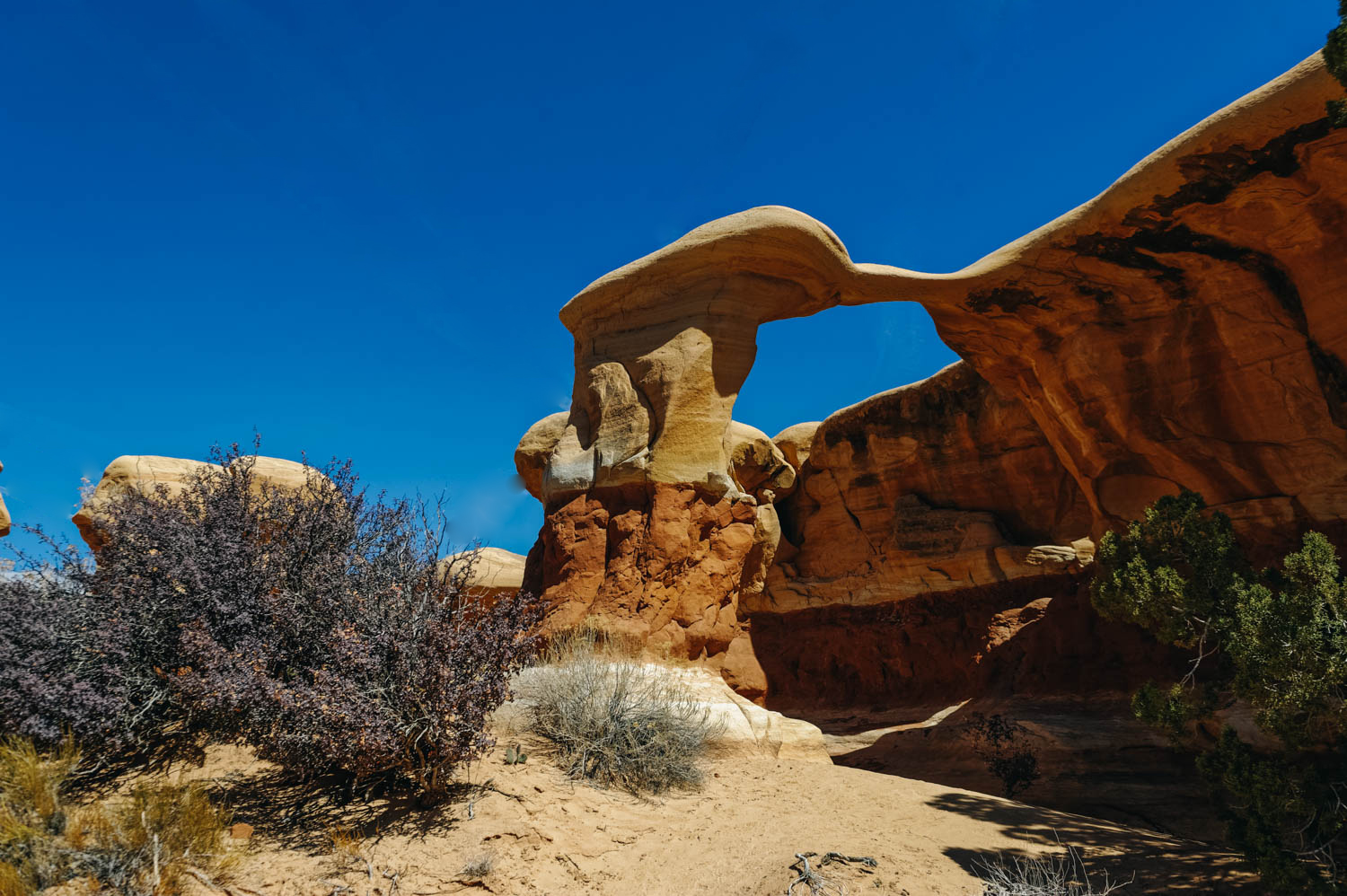
The Crown, on the Burr Trail.
The last time we were here was in the Fall of 2012. We had fallen in love head over heel with this place, but could not come back because of the lack of connexion (needed for our work) and because we thought Route 12 would not be doable with the bus. So this year, for my 40th birthday, we took 2 full weeks off work and came back to our first love. At that time, we had also explored some of the canyons around Kanab (Wire Pass + Buckskin Gulch), The Wave and Waterholes Canyon (near Page, AZ).
We are happy to report that there is now signal in Escalante (and at the BLM on top of Hole-in-the-Rock Road), but still no signal past 5 miles on the Burr Trail (but signal in Boulder).
The entire 68-mile stretch of the Burr Trail Road is scenic and filled with natural beauty. I still think it is one of the US most scenic road. The drive takes you from Boulder through Grand Staircase–Escalante National Monument, all the way to the Notom-Bullfrog road in Capitol Reef National Park.

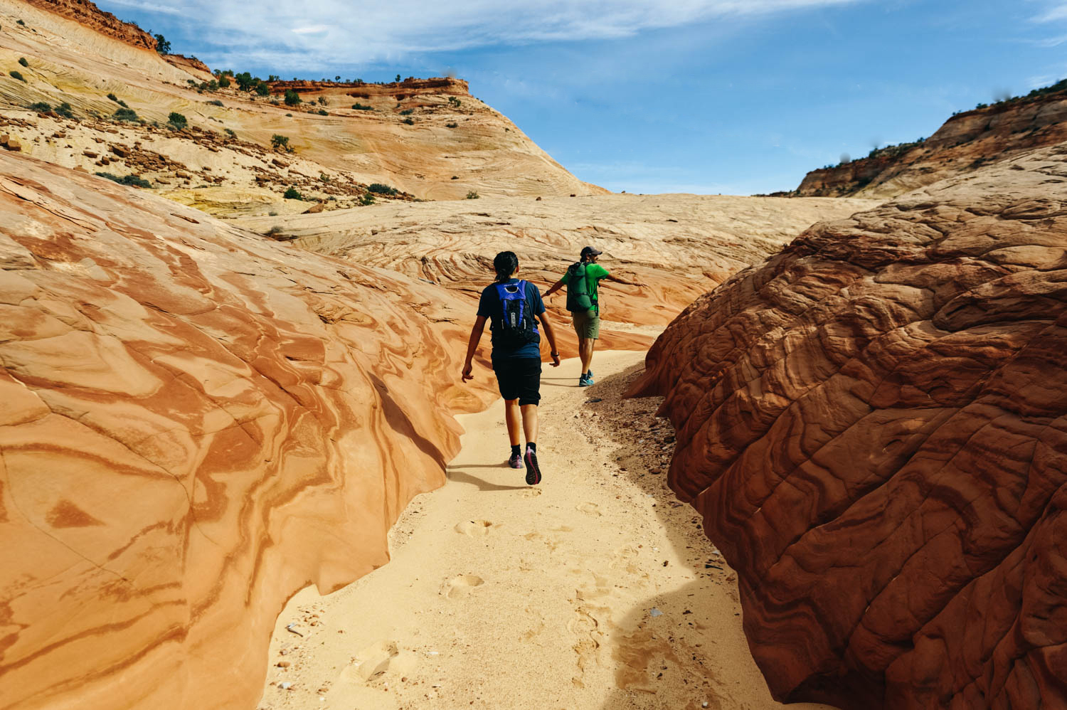
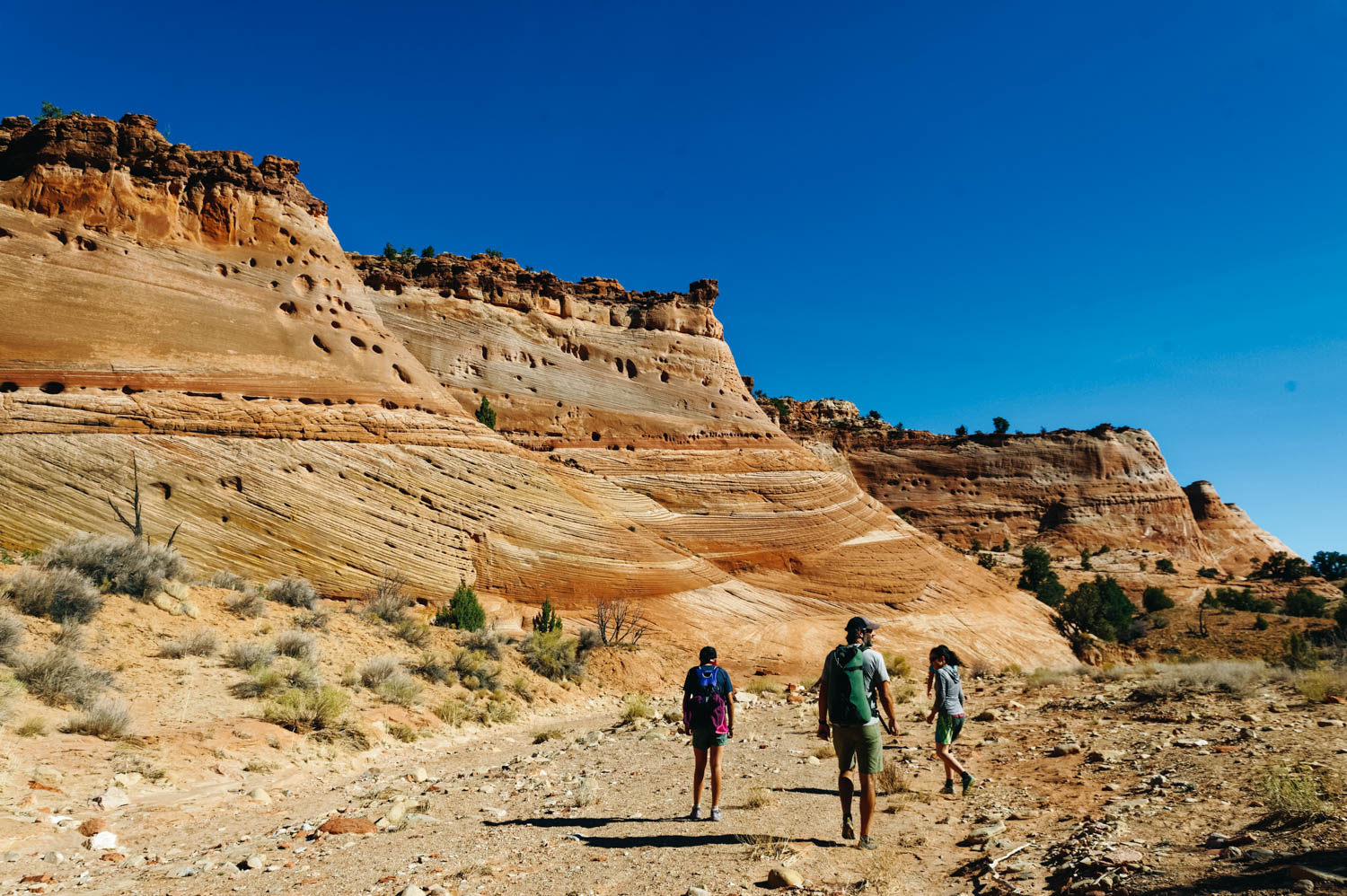
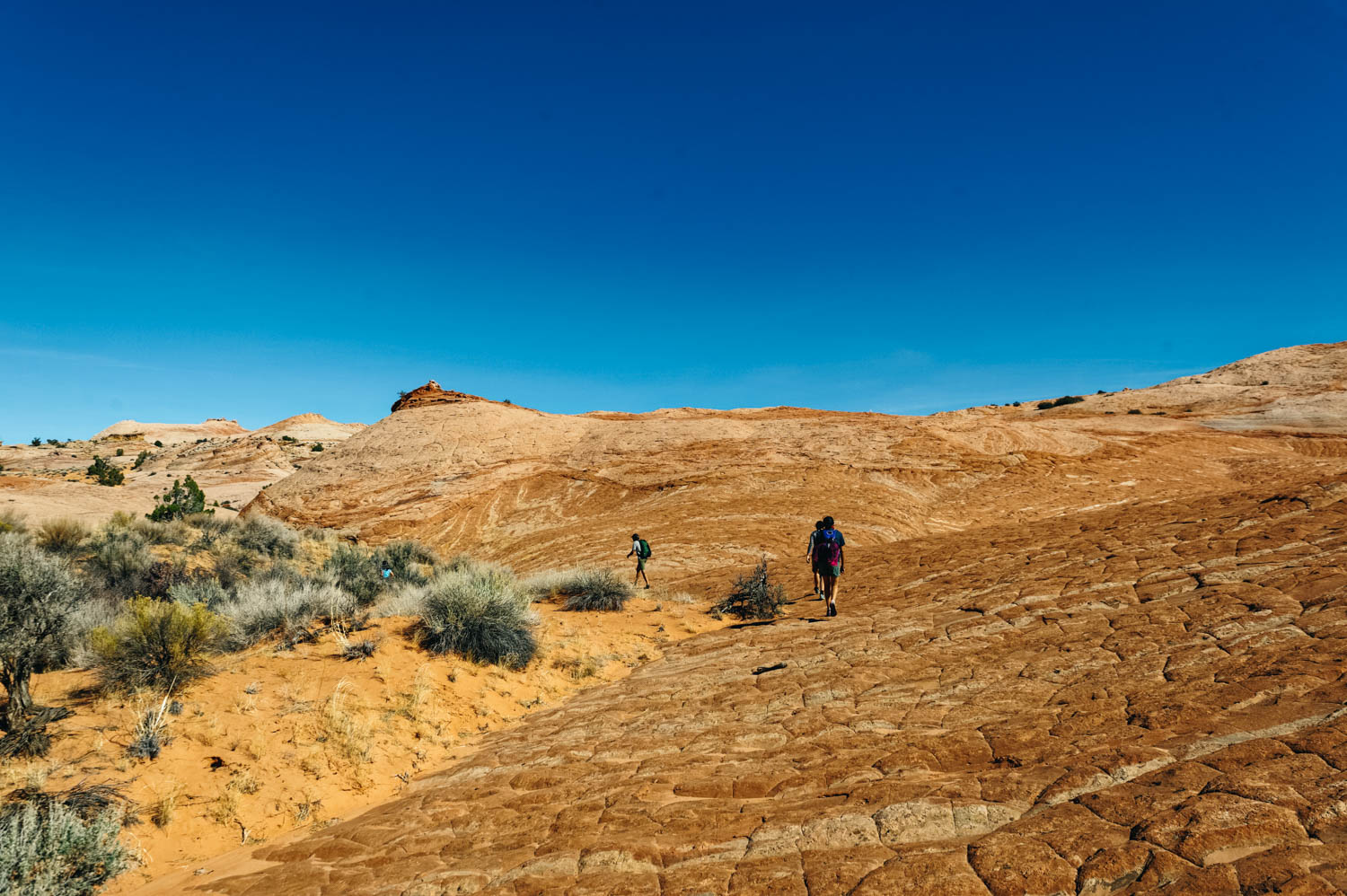
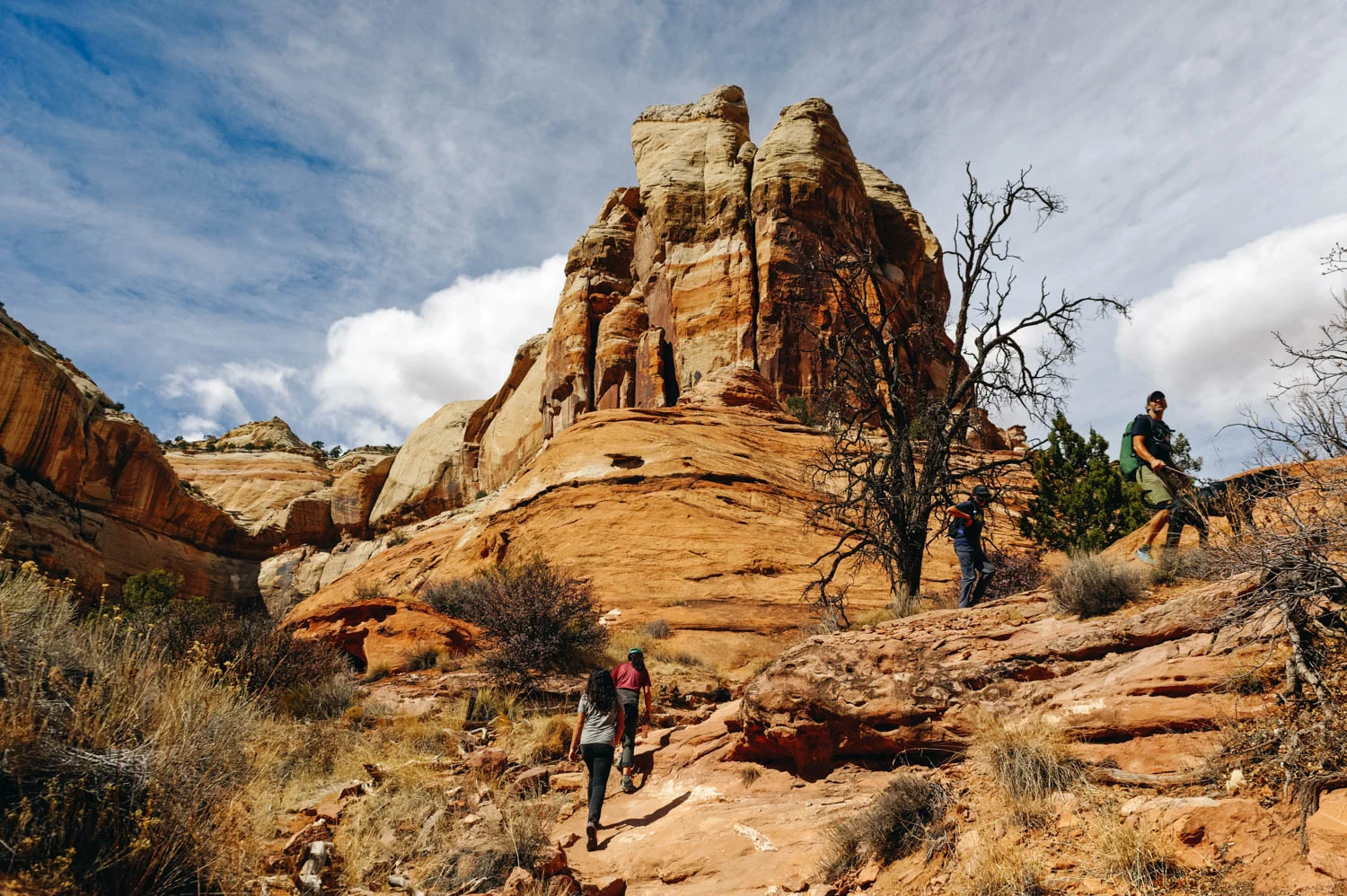
Hike to Wolverine Canyon.

The petrified wood field on the way to Wolverine Canyon.


LOTS of cows and calves on the trail at this time of year!
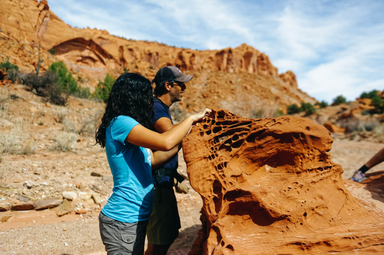
Those wholes in the sandstone are called taffoni. I always feel like Al Pacino when I pronounce it.

These boulders are begging to be claimed.

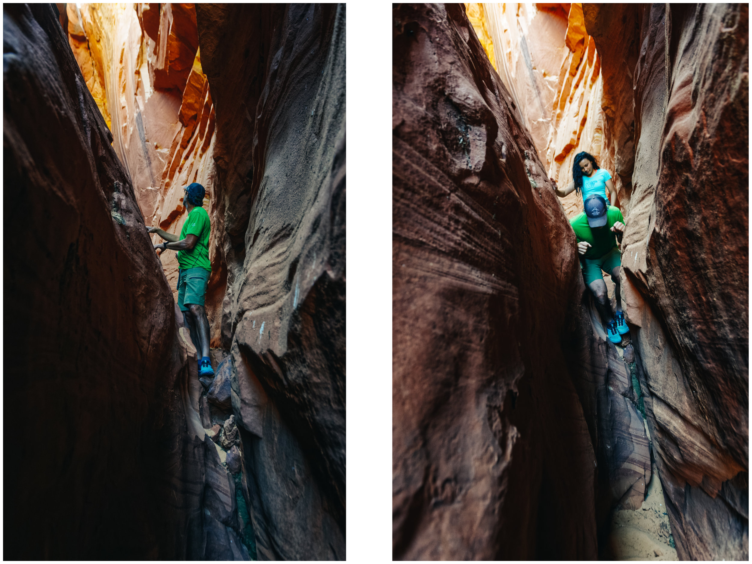
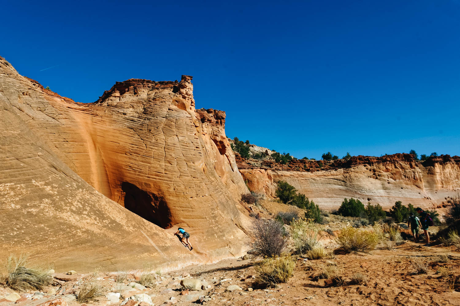
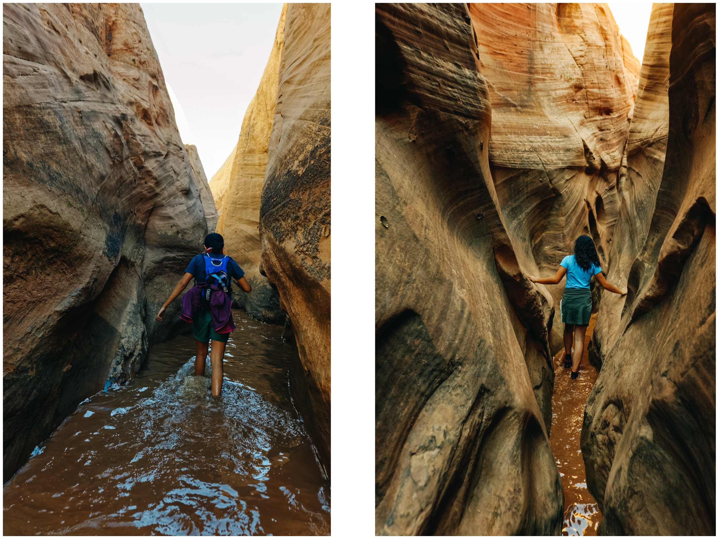
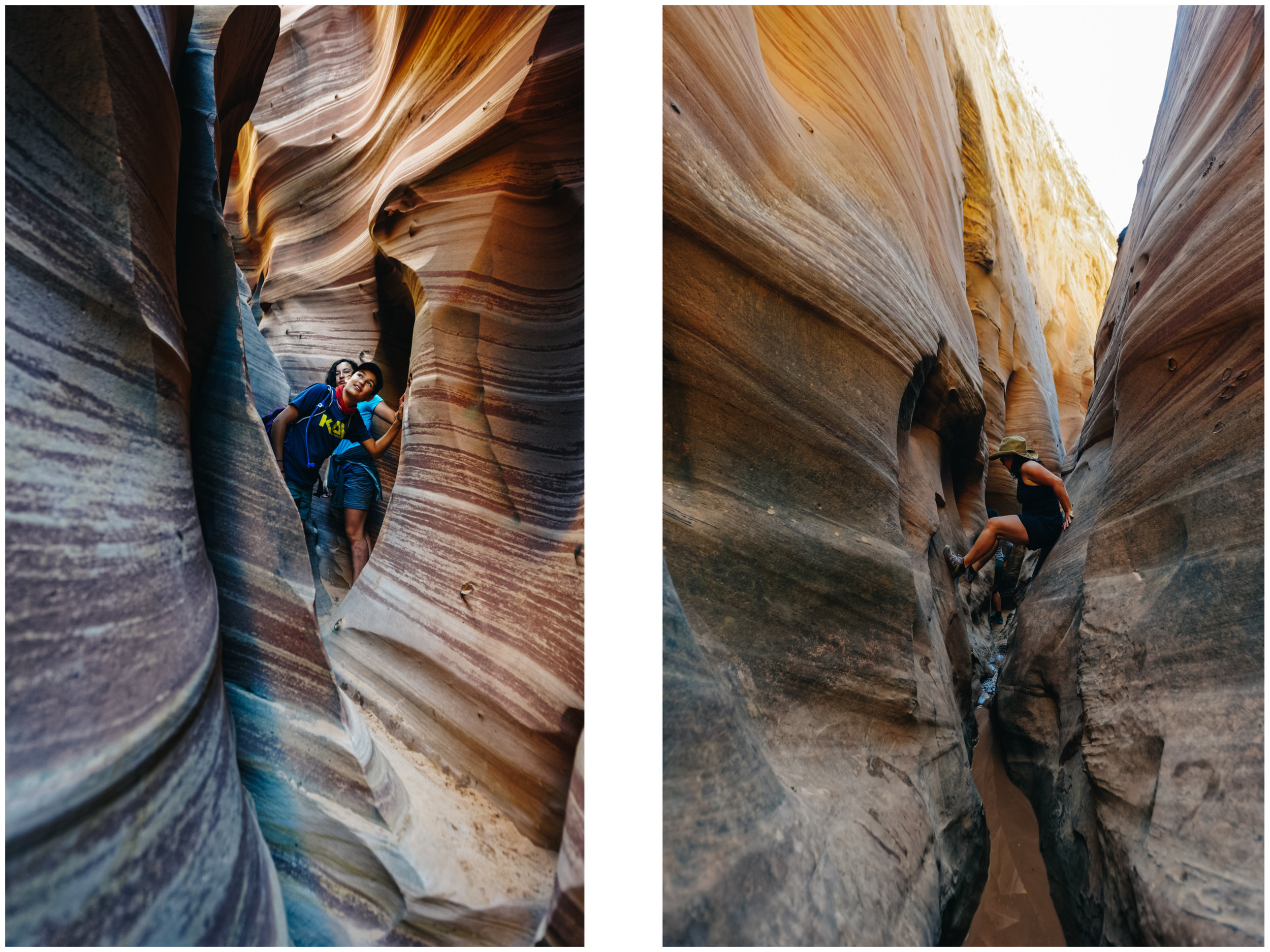
There are two giant alcoves in the canyon.

Driving on Wolverine Rd.
Wolverine canyon (3 miles round trip to the petrified wood pile, 5 miles round trip to the narrow section of the canyon, easy, dog-friendly but lots of cows, low traffic): Located on the Wolverine Loop Road, this canyon begins wide and gradually constricts into beautiful sculpted narrows (from 8 to 15 feet, this is not a slot canyon) with huge alcoves (this is where we turned around, for a 5 miles round trip). There is an abundance of petrified wood (I know, I felt I was done with petrified wood, but this is something else…it was set aside by the BLM as an outstanding natural area). The black petrified wood attracts the eye because the purple and lavender hills provide such a vibrant backdrop. The only challenge when we hiked it were the many cows (and brand new calves) along the wash and we needed to give them some space and go off trail.
To also check in the same area:
Little Death Hollow (15.2 miles round trip through Horse Canyon and Wolverine Canyon, moderate to challenging, not dog-friendly, low to moderate traffic): This was closed when we got there because a cow was stuck inside the canyon. Most people do the loop starting at Little Death Hollow trailhead, through Horse Canyon and back up Wolverine Canyon in 2 or 3 days because there are some nice campsites along the trail, or a longer full day hike. Note that Little Death Hollow cannot be done as an in-and-out day hike unless you are a seasoned climber.
Singing Canyon (a canyon just by the road, 11.5 miles down the Burr Trail, dog-friendly): a great stop on the Burr Trail with little ones or just to go explore and break into a tune. This canyon offers spectacular acoustic and you might even see a violinist of flute player while you are there.
Upper Muley Twist (9.4 miles, moderate with some exposure, dogs not allowed, low traffic): Deemed the most beautiful hike in Capitol Reef N.P., this hike has it all: a wash approach, a rim trail and a canyon. Check the weather before going this is a prime spot for lightning strike.

Our beautiful free campsite on the Burr Trail. Not sharing this one ;)

Easter Pizza! That's a thing, right?

Recommended books:
Map (note that there is no cell signal in most of these places, so you'll likely need a paper map) : Canyons of the Escalante