White Pocket


White Pocket is part of Vermilion Cliffs National Monument. And it’s just mind-blowingly beautiful.

There is a sandy trail that leads for about 100 yards from the parking area. After that, there is no set trail, as you are free to explore along the colorful slickrock.

The road in is a good hour and a half from any non 4 X 4 spot with very spotty cell signal.

It’s on BLM land, so you can spend the night at the trailhead. For the best light, it would be preferable to sleep there and shoot in the morning. It is also an excellent location for night photography. There is no outhouse, so plan accordingly.

Our beautiful campspot about an hour and a half from White Pocket. There was no way we were driving the bus on that road!


Coal Mine Canyon


Coal Mine Canyon is a branch of the Grand Canyon. The canyon gets its name from the from the fact that it was once mined for coal. The coal proved to be of poor quality, so the mining was abandoned.
It is located on the border between the Hopi and Navajo Reservations and a permit is required to visit the canyon, but it is not available from the Navajo Parks & Recreation office in Cameron as it used to be but at the elusive new Local Chapter… just getting the permit is an adventure in itself!

There are no road markers or signs pointing out the location of Coal Mine Canyon, and a person could easily travel through the deserted area without ever knowing it was there. 

The Westy on the Rim

To plant this visit, we had to read old blog posts, use JF’s orienteering skills to map the points we wanted to see in advance, play phone tag to get a permit (that we ended up getting from a nice lady’s house at 8:30 pm on the reservation on Friday night…). This place will make you work for it, but this will only make it sweeter. 

Descending into the canyon

Listening to pure silence

We didn’t see a soul all day. We could not stop shaking our heads as we explored yet another point on the map, each one more spectacular than the last.

It’s a true gem like we’ve rarely seen before.

We’re still in awe that places like this still exist. Unspoiled. Let’s keep it this way.


Moab, 2023 edition


It’s our 6th time in Moab (we’ve stayed for month-long and week-long stints before) and I thought we would a bit Moab’ed out, but Moab worked it’s magic again and it’s hard to leave after 5 days!

It’s by far the less busy time we visited and it is comforting to know that it is still possible to visit popular places and be mostly alone at certain times of the year (during the week, that is!).

We were here last 5 years ago and things have changed a lot in terms of boondocking. Willow Springs Road and Dalton Wells are now the UtahRaptor State Park with $15 a night camping fees. Klondike Bluffs North is also a paid campground now, but not Klondike South, which has way more sites than 5 years ago. The plus side for the new State Park is that there are porta potties and garbage disposal and designated campsites. The down side is that if you want to camp for free, you have to be further away from town and the bike trails.

We ended up camping on BLM 144, which is north of Klondike North, but about the same driving time to go to Dead Horse Point than if we had left from Moab. Signal was really good and the sites are really far apart.

View from our site. The desert light is simply stunning. Always changing.

We had hiked the Fisher towers before, but since Stout was with us, we couldn’t complete the hike as you have to go down a ladder at some point. Unfortunately, we had to turn around at that point once again because darkness was coming (we finished work at 2:30 pm and the trailhead was an hour from the BLM where we camped). We’ll be back!

The Fisher Tower hike is just stunning.

Look at those hoodoos! They made me think of the Easter Island statues.

The plus side of late day hikes on work days is that we always catch the glorious sunsets. The down side: we have to rush back to beat the darkness because it comes fast at this time of year!

The trails were pretty much empty. There were only a few cars at the trailheads (even at Navajo Rocks!).

It was glorious!


Crystal Geyser


The Crystal Geyser is located just south of Green River, Utah, along the east bank of the Green River. The geyser as it appears today was created by an oil exploration well drilled in 1935. 

Crystal Geyser is different from most geysers like those in Yellowstone National Park since it is not created by geothermal activity but rather by carbon dioxide. 

The water that comes out of the hole is cool to the touch since there isn't any geothermal activity involved.

This geyser erupts due to the same process that causes soda pop to shoot out of the can when you hold your finger over the lid and shake it. Although technically not a true geyser, the cold-water eruptions look so much like hot-water geysers that they are referred to as “soda pop geysers”.

When the geyser erupts the water cascades down a terrace of colorful orange travertine limestone, that varies in hues of white to almost brown, and into the river. 

When it first formed, the geyser would shoot 80 feet into the air in 15-minute intervals and 150 feet into the air every nine hours. Over the years, however, the eruptions have decreased in height and frequency.

These days, the Crystal Geyser eruptions times are a little more unpredictable and only reach heights ranging anywhere from 2 to 10 feet, due to the blockage in the well. The reason why it’s erupting now after years of dormancy is believed to be the result of Utah’s historically cold winter in 2022.

We lucked out as the geyser was active as we pulled in at sunset.

The geyser is said to erupt at least once every day but there isn't a pattern or timeline to go by. Eruptions have lasted from a few minutes to 45+ minutes. 

You will likely question your choice of this campsite as you drive through the desolate, lunar like landscape on a washboard road. But at the end you find this nice area along the green river with a geyser. It’s really scenic among the red rock.

We were surprised to find 3 more rigs there on a Sunday night in November, but the fact that this type of geyser is very rare will make it enough to attract visitors.


Furniture Draw Canyon and Buckhorn Draw road


This short, flat trail leads you through tall canyon washes. It is not technical at all and includes a few narrow sections. It’s great for all ability levels and shows the area’s beauty in less than four miles.

This canyon is totally kid and pet-friendly. Much of the wash is pretty wide and full of scree. Unlike many other canyons, it’s easy to find and easy to navigate. If you’re used to more  technical slotting, this will be rather underwhelming, but it’s still a beautiful canyon.

The rock formation is very similar to Little Wild Horse Canyon since they are both part of the San Rafael Swell. Furniture Draw is shorter and much less popular (although less stunning).

The whole area totally blew our minds. The Buckhorn Draw road reminded us a bit of the Burr Trail. It is stunningly scenic.

5 km down the road from Furniture Draw, you can see some really well-maintained pictographs and petroglyphs. There are also dinosaur tracks nearby.

The Buckhorn Draw Pictograph panel.

There are tons of gorgeous campsites along the canyon walls of Buckhorn Draw road, but they are $15 per night and the signal is not as good as at The Wedge.


The Wedge and Good Water Rim trail


The Wedge, also called The Little Grand Canyon, is located in Eastern Utah and despite its amazing beauty is relatively unknown. It is on BLM land, 20 miles east of Castle Dale and about three hours from Salt Lake City. 

It’s so special to camp (for free!) right on the rim of this spectacular canyon. We were afraid it was going to be crowded but there was almost no one there. The area is so large that we could not see any other campers from our spot. 

The Good Water Rim bike trail starts and ends here.
It’s a 21,5 mile loop.

This unique trail is a singletrack that parallels the contours of ‘The Wedge’ in the San Rafael Swell. If you do only choose to do a portion of the Good Water Rim Trail, I recommend to ride the west side where the views are more impressive.

The trail hugs the rim most of the way. The views are simply incredible.

Note that the wedge campgrounds are divided into two separate areas. Sites 1-7 fork left as you drive in (we picked site 7B which was huge). These sites generally do not have access to the stunning rim views that most people are after. 
Even though you are not really on the "Little Grand Canyon", Site 1 is gorgeous and remote. It's at the end of the road and has a nice view since it is "perched" on a little outcropping.

View from the East trailhead Overlook. We were completely alone for miles.

I’m sure it gets busier during the shoulder season when the weather is perfect, but I wouldn’t want to be here in the summer as there is no shade. It was pretty cold at night in November, but the days were perfect (for us northerners, at least) to hike and bike. Hey, there’s a reason it’s called the off-season and we had the place to ourselves!

Little Grand Canyon Overlook with the San Rafael River a the bottom.

What we discovered is that the most amazing sites right on the rim are directly AFTER site 9. These are not official BLM spots, but as long as you stay in the boundaries and camp on a designated site that has a fire ring, it is OK.

People with small children or pets might not want to camp on the ledge as there is obviously no fencing whatsoever.

One of the many amazing campsites along the canyon. If you sleepwalk, don’t camp here!

Many spots have been closed off and there is lots of cryptobiotic soil, so stay off and watch your step.

There is no water and no garbage cans, but there are very clean pit toilets at the trailheads and overlooks.

The dirt road is well graded all the way to the campsites. You won’t need a high clearance vehicle to get to them.

It’s pretty high (6,200 feet), so the nights are cold.


Mount Baker Wilderness, Washington


For years, we’ve looked at Mount Baker’s peak from Vancouver and thought: one day, we’ll make it there. I’m not sure why it took us so long since it’s not even an hour and a half from the border, but we sure are glad we finally did!

We had no idea that Mt. Baker is an active glacier covered volcano (with thirteen glaciers!). In 1975, steam emissions and fumarolic activity reminded the locals that this beautiful mountain could change their lives forever.

Picture Lake at sunrise with Mount Shuksan

There is no camping near the trailheads and signal is spotty at best (download the maps of the trails you are planning to hike - there are many side trails everywhere). There is some boondocking on Forest Service roads or camping at Silver Fir (no signal and popular - reserve ahead). Douglas Fir Campground is a bit far but is a beautiful spot worth checking (no signal and popular as well - reserve ahead).

We found a great boondocking spots on a Forest Service road nearby.

Another great boondocking spot up a rocky road

Getting an early start is key to beat the weekend crowd.

If you’re planning to go on the weekend, make sure to get to the trailhead early (like 8 am early). Buy the Northwest Forest pass online and print it at home (must be printed within 2 days of purchase - you can buy it at the Visitor Center in Glacier but that’s 40 min away) and on the premises if and when the Visitor Center is open (but it sounds unreliable).

Beautiful Mount Baker from Chain Lakes Trail

Instead of doing the whole Chain Lakes Loop, we took Chain Lakes Trail all the way to Hayes Lake and back to Artist Ridge and we checked out Ptarmigan Ridge for about 500 meters until it starts going down. It is one of the most rewarding hikes near Vancouver in terms of view vs effort.

Earlier in the season, the trail is full of wildflowers. At this time of year, you get blueberries and huckleberries. In a month, you will likely get snow.

Iceberg Lake

Some people do Chain Lakes Loop as a day hike and some spend the night at Mazama Lake or Hayes Lake (camping near Iceberg Lake is not permitted). These two backcountry campgrounds are First Come First Serve, so getting an early start is advisable. It can get pretty crowded on the weekend (no platforms). You don’t need an extra permit (just the same Northwest Pass to park your vehicle at the trailhead).

Mazama Lake

Hikes worth checking:
-Chain Lakes Loop
-Lake Ann
-Ptarmigan Ridge Trail
-Yellow Aster Butte
-Table Mountain

The total cost for this awesome weekend (other than the gas to get there): $5 (that’s the price of the Northwest Forest pass for a day - $30 for a year).
That’s a steal!


Longer hikes in the Bruce Peninsula, Ontario


The beautiful beach at Halfway Log Dump.

Indian Head Cove, near the Grotto

The Bruce Peninsula National Park is another place where you have to reserve months in advance to snatch a campsite. The campsites might only be $23 per night, but don’t be fooled, you have to pay extra for the entry fees and extra for a tow vehicle. It’s pricey for an unserviced campsite. The big plus is that you don’t need to reserve and pay for a parking spot (and be limited to 4 hour slots only) to hike to the Grotto (the most popular attraction everybody wants to see).

Indian Head Cove near the Grotto

Rocky Shore Beach. Day 1 hike (see below).

Overhanging Point (a viewpoint on Day 1 hike).

 Our goal was to hike everywhere from the campsite. Since we had wanted to visit the area for a long time, we reserved 4 nights during the week at the beginning of June and the campground was almost empty. Needless to say, the place is a zoo in the high season. Expect to see stupid behaviors and natural selection in action at the Grotto - 15-20 minutes will likely be plenty and you will desperately want to leave.

Halfway Rocky Point (at the beginning of Day 2 hike)

Unfortunately, there isn’t much info on longer hike options, so we created our own. That’s mostly why I’m sharing this post. If, like us, you don’t like to sit around much, 3 nights will be plenty.

Very badly handdrawn indications of the hikes we did, but since they do not exist, I figured it’s better than nothing. Day 1 on the left and Day 2 on the right.

Day 1: Hike to the Grotto and continue to the left along the coast on the Bruce Trail all the way to Rocky Point (Loon Lake). It’s a beautiful 10 km round-trip and we were by ourselves as soon as we left Boulder Beach. On the way back, take the Marr Lake Trail from Boulder Beach.

Day 2: Hike to the Grotto and take the other side (right) of the Bruce Trail all the way to Stormhaven backcountry campsites. On the way back, take Horse Lake trail to the campground.

Perfect lunch spot by the water at Stormhaven backcountry campground (Day 2 hike)

Day 3: Go explore Halfway Log Dump. You have to drive there from the campground (20 min) and hike less than 1 km to the beach. From there, explore the coast. We went left (upper peninsula) and found a cool bouldering area. If you want to go for a longer hike, you could go right on the Bruce Trail (lower peninsula) and hike to High Dump backcountry campsite.

Halfway Dump Beach

Day 4: get out of there before the weekend crowd gets here.

P.S.: All those hikes require walking on cobble beaches and rocky (slippery) terrain.


Are we poor?


Yukon summers

Picking cranberries and learning to fish

Morning by the fire and picking blueberries at Kusawa Lake, YT

Are we poor?

That’s something the girls asked us a few times when they were younger. In the eyes of little girls, poor meant something scary, the people we saw living on the streets, the possibility of not being able to have 3 meals a day or to fix the bus if it broke down somewhere - and be stuck.

Knitting in the Westy and harvesting grapes

Farm life

Life in Costa Rica for 6 months

We had our children young and we chose to do things differently because we wanted to be together, even if it meant that we both  worked at a real job for only a year before becoming parents. Choosing for me to stay home with the girls also meant we accepted a big income drop.

Now, we’re 45 and empty-nesters. 

A very cold night and a soak in the hot springs in Yellowstone.

Sunrise in the Grand Canyon

We travelled with a full-sized piano, a guitar and a violon for a few years. And lots of bikes. Forever.

Sunset at camp - Gooseneck State Park, Utah

Always outside

Today, as I am even more aware of how fleeting time with our children is, I have no regret about the choices we made, even if at times it meant a lot of financial stress.

Learning to mountain bike in Moab. No wonder they fell in love with the sport!

Hike to Corona Arch, Utah

Together. Love + connexion. Always.

I am proud of our stubbornness to create a life we feel is worth living for.

Waiting for the shooting stars on the dock, Kager Lake near Burns Lake, BC

Oregon and California Coast sunsets with friends


Bozeman hot springs + more


As you know, we rarely pay for campgrounds except when we are out of solar… or if they have hot springs!

Bonus point if they have a live folk band that you can listen to while soaking!

The people sighting in itself is worth every penny… There was a guy doing hot yoga in the steam room, another one doing sit ups in the sauna while making questionable noises (the same guy executed a few very loud belly flaps from the side of the big pool… maybe that’s a blood circulation technique?…). 

There was the cute guy reading The Phenomenon of Man while sitting in the pool, peeking up a little too often to see if it was worth keeping the act going.

There was the man speaking loudly to his boss in his cell while walking the pool. The young fit guy deep in transe in the 59 degree polar pool who remained there for spurs of 20-25 minutes, annoyed by all the lowly people who would walk in, scream from the cold and rush out. He elegantly jumped out every time to head to the sauna where he would stay far longer than us, mere mortals.

There were too many old man grunts and a lot of butt cracks.

During the high season, it is a bit more expensive, but you get a full continental breakfast that you can share with the people you saw grinding in the pool the night before.

PRACTICAL INFO

For 85 US$ in the off-season, you get a FHU 50 amp site + access to the hot springs for 2 persons for 2 days. If you go on a Sunday or a Thursday night, you also get live music from 7 to 10 pm that you can watch while soaking. It was a pretty decent folk band when we were there.

There are 4 pools outside at different temperatures and 7 more inside (mostly all at different temperatures as well). The difference is that they add chlorine to the outside pools but not the inside ones (they are emptied daily). There is also a steam room and a dry sauna. They even provide towels, so it’s basically a spa!

You get access to your campsite at 2 pm, so you can go for a soak right then, come back to have dinner at your rig and go back for the show and a night soak (open till 11 pm). Then the next morning, you need to leave your site by 11 am, but you can go park in the hot springs public parking and your bracelet is still good for the whole day. They open at 5:30 am.

They are closed from sundown Friday pm to sundown Saturday pm cleanup (I still don’t get why they don’t do that during the week…), so plan accordingly.

A must stop in Bozeman: Shine Beer Sanctuary + Bottle Shop

Another great stop: the Community Food Coop


Spring in Victoria


We were supposed to leave the Yukon at the beginning of April, but Mara had a bike accident (she was a bit concussed and broke her hand) and I decided to fly down to Victoria to be her literal second hand.

I tied shoes, spread peanut butter on toasts, retyped recorded biology classes and spent two wonderful weeks with her as she showed me around her new digs.

After 5 months of snow, it felt like such a treat to be catapulted into Spring!

Waiting for the bus to go pick up our beloved Westy in Duncan.

Magnolia in bloom in the Victoria Chinatown and delicious coffee at Hey Happy.

The trees were in full bloom. If I had to pick one Canadian city where to settle down Victoria would be an easy first choice (if I could ever afford it!).

Meals outside!!

JF and Mathilde joined me at the end of March, a few days before my birthday, so we camped in the Westfalia together and went back to one of our favourite spots on the Island, Pedder Bay.

I fell in love with the Fernwood neighborhood. We went there to Stage restaurant for my birthday dinner and shared an amazing meal with natural wine and homemade vermouth.

Delicious meal at Stage for my 45th birthday.

A few days in Squamish before hitting the road to go pick up the bus.

When we left the island, we went to Squamish for a few days to drop off Mathilde at a friend (they were flying to Arkansas together with their team for a bike race), enjoyed the beautiful lush green Squamish Spring and left to pick up the bus that we had stored in Sorrento.


A winter in the Yukon


On our way North with the Audi. We packed everything we would need for 6 months!

I’ve been asked by some of you to share how it has felt to be temporarily sedentary after almost 10 years of nomadism. 

It wasn’t easy. Especially since it also happened at the same time as the twins moving away to go to University (Aïsha is in Montreal and Mara in Victoria).

I missed what was my normal for so many years: the movement of the road, the togetherness of our days. The spontaneity. And the feeling of aliveness that came with it.

I missed the bus as an extension of myself.

At home at the housesit where we would stay for 6 months near Whitehorse.

I have long wondered why I could not stay in place, what was wrong with me for always craving new adventures to the point that staying put made me feel like a part of myself was missing.

Trying to be sedentary feels like Groundhog Day for me. I feel stuck. I feel dull.

That’s the part where you roll your eyes and think how much I sound like a privileged child. 

I get it. I am. And that’s why I hesitated to share this.


We had a week without snow when we arrived and I made the most of it picking rosehips and cranberries.

I could have avoided exposing this not-so-admirable part of myself and tell you that I was meditating on impermanence, loss and love. That I loved the house we were renting, the fireplace, the animals, the trails right at our doorstep. That I was thankful to have more time with friends, opportunities to be more involved in the community, that I loved the silence of winter and the wildness of this place.

And it would all be true.

Wood chopping and stacking for the winter.

For Mathilde’s birthday, we went to Lumel studio and she made a pendant with Stout’s ashes in it.

But the question was: how did it feel? And the answer to that is that I was struggling. 

I felt like I was waiting for Spring, like I was biding my time, like a part of my identity was on hold.

There were days where it felt like a soul sadness. And that’s when I confused it with depression.

But it was not.

We walked in the forest behind the house daily with the dogs. There were miles and miles of trails and never a soul on them.

I know many people will read that and think: of course, I would also much prefer a life of travel to the life I have, stuck at home for most of the year. But the truth is that many people have enough of it after a year of full-time travel. It’s not true that it is for everybody.

We are all different and I realize that I do better when I move around more. 

For many people, it is exhausting.

We went Christmas tree harvesting. The sun barely got over the mountain at that time of year. It was dark until 11 am…

There were lots of dog snuggles and great time with friends.

Sam Woolfe writes this on his blog:

When you return home, there can also be a kind of reverse culture shock, where your comfort zone is challenged, not by the novelty of a new country, but by the familiarity of home.

So after the initial reunion and catch up with family and friends, you realize your previous way of life has ended, and you must now re-adjust back to going to the same places, seeing the same people and staying in one place.

From the point of view of everyone else, though, complaining about coming back can seem like snobbery, entitlement and avoidance of the ‘real world’ – a curious term that translates into a somewhat depressing situation, of the felt unavoidability of sameness and familiarity.

Some very cold day exploration and hot cider by the fire.

Mara and Aïsha came for 2 weeks during the holiday and it was so good to be all together!

He continues: I cannot help but think about how insane it is that this way of living has become normalised; it is Kafkaesque to the point of causing real and serious anxiety. You have no idea how things got to be set up this way, but you still find yourself inexorably pushed into, and a player in, this strange game called ‘real life’. Everyone does it, so don’t whine about it. But still, the thought is there: How do I get out?

But, to want to avoid this ‘return to reality’ can elicit self-denigration, judging yourself to be lazy, reality-averse, immature, weak – a self-entitled millennial. And you may find yourself having to deal with these judgements from others as well. There are expectations to meet and if you don’t meet them, then you might be considered a drop-out or dysfunctional. Coming ‘back to reality’ is always used in a way to mean that reality is dull and stressful, but it’s just how things are, so you have to deal with it.

(Obviously, post-travel blues are a ‘first-world problem’, so it isn’t an experience that should be catastrophised.) 

In February, we had quite the northern light show!

There were moments in my life where staying put felt physically hard, like an ache, or an itch.
Maybe that’s where the expression having itchy feet comes from.

Do you remember the feeling of getting a new coloring book when you were a child? That feeling when you started a new page and completed it. And turned to the next one. 

This is what living on the road feels like. A new coloring book page every day. 


Overnight hike to Watersprite Lake, Squamish, BC


Watersprite Lake near Squamish is a crystal clear, turquoise lake framed by dramatic peaks and it is one of the most awe-inspiring hikes around. It was a hidden gem for years. Unknown to most and tucked away down a long, bumpy forest service road. But the word is out and it’s ‘hidden gem’ status has changed.

Whilst the hike is long, it’s a fairly gentle incline as BC hikes go and only the last portion has any serious climbing in terms of elevation. About 6 km in, you will come to a rock slide. This is the beginning of the more demanding section of the trail. The route is visible and there is flagging to keep you on track. 

Then, you enter a forested section and get to a boulder field. The final ascent is slow and steep, but you’re almost there and the view that awaits you will reward your effort!

While this last stretch is the most difficult hiking, the good news is you are nearly at Watersprite Lake. If you are staying overnight, you need to cross another boulder field along the lake to get to the other side where the tent platforms are located. 

As of summer 2022, Watersprite Lake area and the surrounding peaks are now a designated Provincial Recreation Site and you will need a camping reservation for tent camping (different to reserving the hut). This will cost $20. You can reserve here.

There are 10 platforms and 10 tent spots (we recommend platform 1 or 2 if one is taken). There are bear caches and a composting toilet on site. There is a very clear stream that runs behind camp to get water from (and a few streams along the trail too).

The only drawback to this hike is that it requires a 4×4 or AWD vehicle with good clearance to reach the trailhead. Please note, the road gets significantly worse for the final stretch to the trailhead and it is getting worse every year (not fixing it probably also helps weed out people).

There is a cabin at the lake which was built by BCMC. The cabin can be rented all-year round (the only option in the winter since the platforms are under many feet of snow) for 300$ per night (one party of 8 people max).

There are a few bridge crossing involved and the trail is very well-built and marked.

Make sure to reserve your tent platform ahead of time. This will cost $20. You can reserve here. We recommend platform 1 or 2.

Because the trail is open, make sure to bring plenty of water and sun protection in summer.


Hiking to International Falls, between BC and Alaska


The International Falls hike starts near the White Pass Summit and is most often in the clouds. We lucked out on a rare bluebird day! The trail starts on the Canadian side of the border and crosses into Alaska, hence its name.

It’s a beautiful hike especially on a sunny day. Be warned that there is a pretty steep descent (with rope assist) at the beginning and a few creek crossing (hiking poles were useful, an extra pair of shoes/socks might be a good idea if the water level is high). You can find all the driving direction and hike info here.

The rest of the trail is an easy gradual climb along the falls and then you can hike as far as you want once you hit the alpine plateau. It’s so beautiful, you just want to keep going, but be mindful that you need to retrace your steps back to the car!

Note: Coming from Whitehorse, you need to cross the Canadian customs (don’t forget your passport or ID), but since the hike starts before the US customs, you don’t need to fill in the ArriveCan documents.


Hiking Ruby Mountain and Monarch Trail, Atlin, BC


Atlin, BC, is a small gold rush town that is only accessible through the Yukon. It’s a 2-hour drive from Whitehorse. 

Atlin Lake and the surrounding mountains are stunning and the historic gold rush village complete its charm. I’m not sure why we waited 15 years to come back here, but we are are glad we came on this perfect weekend.

We did two different hikes. The first one (and our favourite) was Ruby Mountain in the Atlin Volcanic Field. You have to drive about 30 min from town to get to the trailhead. If you have a high clearance 4x4 vehicle, you can even drive the first part that is on a mining road (all the info for directions and route finding are well explained here. Make sure to screenshot everything since there is no cell signal in Atlin). The hike starts already in the alpine and there are very few trail markers, so you’ll find having this info on hand useful as you ascend. It’s a short hike to a stunning 360 view with mountains all around as far as the eye can see. We were alone the whole time and even saw Dall sheep! That hike is easily in our top 5.

The trail starts here if you can drive up the mining road (high clearance 4 x 4 needed)

The Summit

The second day, we did the classic Monarch Trail. The trailhead is only 1 km from the Pine Creek campground. As soon as you start climbing, you get open views of the Atlin Lake and surrounding peaks. You can decide to turn around after about 1.5 km at the second bench before the climb in the forest begins or decide to plow through that steep section without view to get into the alpine for the last 700 meters. The view is beautiful but not as different as you go up. You’ll find the driving directions and trail info here (please note that the name of the road where the trailhead is located is Warm Bay Road NOT Warm Spring Road as indicated).

The camping options are pretty limited, especially with a big bus, but we lucked out on one of of the few sites that are big enough at Pine Creek campground.

There are beautiful walk-in sites in the lower section of the Pine Creek campground.

Note that there is no cell signal anywhere in town. There are limited groceries, but you can get some good BC beer at the Trading Post.

For those who do not follow us on Instagram, Stout passed away on August 2nd. He had a Valley Fever relapsed and even with the medication, his body gave up the fight and he died peacefully in his sleep in the bus. He was six years old. We miss him dearly every day.


Hiking around Summit Lake, Stone Mountain Provincial Park


Summit Lake campground in Stone Mountain Provincial Park is the highest point on the Alaska Highway (at about km 600 - Historic Mile 373) at 1,300 meters (4,250 feet of elevation). It is located about 140 km West of Fort Nelson and is a must stop on your way North. I recommend you spend the night in Fort Nelson and head to Summit Lake campground early to get a spot (the 28 campsites are only available on a first-come first-serve basis for $20 - some are really not that great - campground is open from May 12 to September 25). There is no electricity, but there’s a pit toilet and a water well, but it is recommended to boil it (wood bundles are a whooping $15). It is right by the Highway, so there is some road noise during the day, but the surroundings are well-worth it, especially if you can get one of the few spots by the lake.

The most popular hike here is Summit Peak trail (that should really be called Mount St. Paul via Summit Peak trail, an 8.5 km round-trip with 750 meters of elevation, the summit is not the end of the trail and you could keep going on the ridge all the way to a few other peaks). The information available at the campsite and online for these hikes are pretty inaccurate and misleading (except for the link I posted above). That’s why I decided to write that post.

The hike starts just across the road from the campground. Make sure to follow the trail that cross the creek after about 400 meters off the road and that starts climbing up on the RIGHT side of the river.

Some of the many blue pools you will see along the way, perfect for a post-hike dip!

You will soon get out of the tree line and start steadily climbing up the stone-faced ridge of Mount St. Paul.

The view makes the effort well worth it! We found hiking poles to be useful, especially on the descent since there is some loose scree and a few slightly exposed sections. Hiking boots would have been preferable to hiking shoes. Also, even if we were sweating at 9 am in the first km of the hike, it got cold and very windy as soon as we got onto the ridge. Be prepared for all kind of weather conditions.

Note that the ridge is the only place where you can get decent LTE signal (and it requires a fair amount of climbing)! We had spotty 3G and 1 bar LTE at the campground WITH our booster and the antenna placed just right, but I wouldn’t count on it, most people didn’t have anything.

You can see the campground behing JF’s shoulder and in the background, an alpine lake (Flower Springs Lake) where we also hiked (more info on that hike below).

It is easy to forget about how intense the descent can be on the legs in that kind of terrain, so make sure to save some energy and muscle strength for that!

Once you reenter the tree line, there is a trail that cuts down to the beautiful blue pools you saw on your way up (they might be dry later on in the season). Make sure to go explore and take a dip if you dare! It is pure paradise. There was NOBODY there.

From behind site 20, there is a bridge that leads to a trail. Turn right and follow along the shore of Summit Lake. It is a bit marshy and buggy in places, but you can see lots of wildflowers along the way (this area is known for its rare flora). After about 2 km, the trail veers left up into the trees and you can follow it all the way to a 4 x 4 road that will take you to the beginning of Flower Springs Lake trail.

There is another quicker alternative that we will use next time: just before you get to the campground on the Alaska highway, you will see an entrance to the 4x4 road to a microwave tower closed by a red gate. The gate is unlocked (make sure you close it behind you). The Flower Springs trail officially starts 2 km up that road. You can either drive up 2 km (it can be driven without a 4x4 up to that point - at least when we were there), bike (and stash the bikes in a bush at the beginning of the hike - there is nobody here) or walk up it (but is it quite boring). If you decide to walk (it is quicker that our first option by the lakeshore), simply turn left after the bridge instead of right and you will quickly get to the 4x4 road. Just start walking up until you see the picnic table and trail info board.

As soon as you begin walking, you cannot help but feel awed.

From the road, Flower Springs Lake is about 3 km (so from the campground, it is is a 10 km round-trip with the section on the 4 x 4 road), but the elevation gain is very minimal (230 m). If you do the upper Lakes, it is a 15 km hike round-trip with 430 m of elevation gain

You can keep hiking on the right side of the lake and get to two more alpine lakes, but we decided to turn around since we had already done 7 km by then and our 4 legged pup had done enough for the day. I would recommend getting a map of the area and go explore that beautiful backcountry.

There is another hike 2 km up the campground called Baba Canyon that is supposed to be really nice too. We’ll make sure to check it out next time. If you’re up for a more challenging adventure, check out this hike.


A winter of camping in Squamish + tips to avoid humidity issues in your RV

 
The beautiful foggy Coastal Forest near Brohm Lake.

The beautiful foggy Coastal Forest near Brohm Lake.

The big perk of our campsite: this private covered area that increases our living space so much. It’s not fully waterproof, but we use it a lot. We have now closed that open side with a tarp.

The big perk of our campsite: this private covered area that increases our living space so much. It’s not fully waterproof, but we use it a lot. We have now closed that open side with a tarp.

The girls use it a lot for stretching and strength training, Zwifting and Zoom spin classes.

The girls use it a lot for stretching and strength training, Zwifting and Zoom spin classes.

Hiking the Four Lakes trail after the first snow in November in Alice Lake Provincial Park.

Hiking the Four Lakes trail after the first snow in November in Alice Lake Provincial Park.

A rare bonfire outside on a dry night.

A rare bonfire outside on a dry night.

Jurassic-park like forest on the White Rabbit trail.

Jurassic-park like forest on the White Rabbit trail.

Mara learning to ski at the Whistler Olympic Park

Mara learning to ski at the Whistler Olympic Park

We’ve added a couch, a propane fire ring, a TV and a Christmas tree to our shelter to make it extra cozy.

We’ve added a couch, a propane fire ring, a TV and a Christmas tree to our shelter to make it extra cozy.

On the cliff right by our site, a 3 minute climb!

On the cliff right by our site, a 3 minute climb!

Our campsite in the snow.

Our campsite in the snow.

Watching the sunset behind the mountains at 3:30 pm near Solstice.

Watching the sunset behind the mountains at 3:30 pm near Solstice.

For the last 7 years, we’ve spelled winter A-R-I-Z-O-N-A…This is our first winter in Canada in the bus and we decided to spend it on the «Wet Coast» during a La Nina year (more rain and colder than usual). When at least a few seasoned outdoorsy Westcoasters told us it was quite extreme to attempt to live in the bus in Squamish for the winter, I got a bit worried. I had an idea of what we were getting ourselves into, but I had never experienced a West coast winter, not even in a house. It is not a badge of honour for us to do it. It is simply a means to an end. If we had found a rental that accepted dogs and did not require a year-long lease at a price we could afford - while also paying for storage for the bus in a heated or at least dry place nearby - we would have jumped on it, but Squamish is all but affordable.

Luckily, we found this great campsite with a covered area and storage in town, so the girls are right on the trails and the grocery store is 5 minutes away. It is still ridiculously expensive for a campsite, but it was the only financially sound option for us. Our campsite is gorgeous and very private, but it’s oh so dark between a cliff and mountains, under the tree canopy (no sun comes to our site on the rare occasions that it’s out) and the rain forces us inside much more than usual. It’s tough on all of us. However, there is a covered area with storage on our site where we can sit and enjoy some outdoor time even when it rains (we’ve outfitted it with free couches (thanks FB Marketplace!), a propane fire ring, a Christmas tree and a TV and training area for Zoom spin classes!). It’s not fully waterproof, but we’re super grateful for that extra space (and storage!) it provides.

We try to go outside everyday to stretch our legs but the amount of laundry (and mud, and dirty floors) this creates is insane. One of the most amazing things about living here is that you can ski and bike (not in the snow!) on the same day by driving only 40 minutes. The girls are lucky to have teammates and a coach that are competent skiers and they have been able to try skate skiing (something they had never done given our lifestyle).

We are so thankful for our friends who figured out how to best solve the humidity issue (we thought we had a water infiltration issue, but it turns out it was just an insane amount of condensation despite already having 1 dehumidifier running!) We have found that the key to make it comfortable in the bus (and to avoid mold issues) is to have 2 large dehumidifiers running all the time, as well as a fantastic fan. We always turn on the kitchen fan everytime we cook and the shower fan during and after a shower. We also have put desiccant salt containers in every closed cupboard to avoid moisture build-up. We never have condensation in the windows or anywhere anymore, a priority to keep the mold at bay and everyone healthy and comfortable.

The weather has dipped below zero in the last week and we need to use the heaters a bit more to make the bus comfortable, but so far, it is very manageable. It takes a little more will power to get out of the bus at night and into the shelter to watch a movie by the fire bundled up in our sleeping bags, but unless the wind is howling, it is pretty cozy in there and we never regret doing it.


The Canadian Rockies

 
Wilcox Pass

Wilcox Pass

View of the Athabaska Glacier from Wilcox Pass.

View of the Athabaska Glacier from Wilcox Pass.

Wilcox Pass

Wilcox Pass

View of the Athabaska Glacier from Wilcox Pass.

View of the Athabaska Glacier from Wilcox Pass.

Looking at the Columbia Icefield

Looking at the Columbia Icefield

Beautiful boondocking spot along Abraham Lake

Beautiful boondocking spot along Abraham Lake

Bow Lake

Bow Lake

Mistaya Canyon

Mistaya Canyon

Moraine Lake

Moraine Lake

Lake Louise

Lake Louise

Jura Canyon

Jura Canyon


Johnston Canyon

Johnston Canyon

Johnston Canyon Lower Falls

Johnston Canyon Lower Falls

Tent Ridge

Tent Ridge

Snow on Tent ridge

Snow on Tent ridge

Snow on Tent ridge

Snow on Tent ridge

On the Moonraker Trails in Golden, BC

On the Moonraker Trails in Golden, BC

Cedar Lake Rec site, Golden, BC

Cedar Lake Rec site, Golden, BC

Radium Hot Springs

Radium Hot Springs

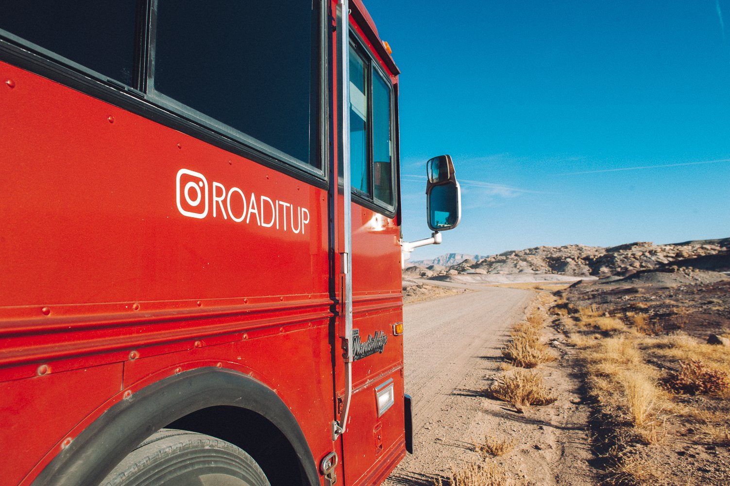
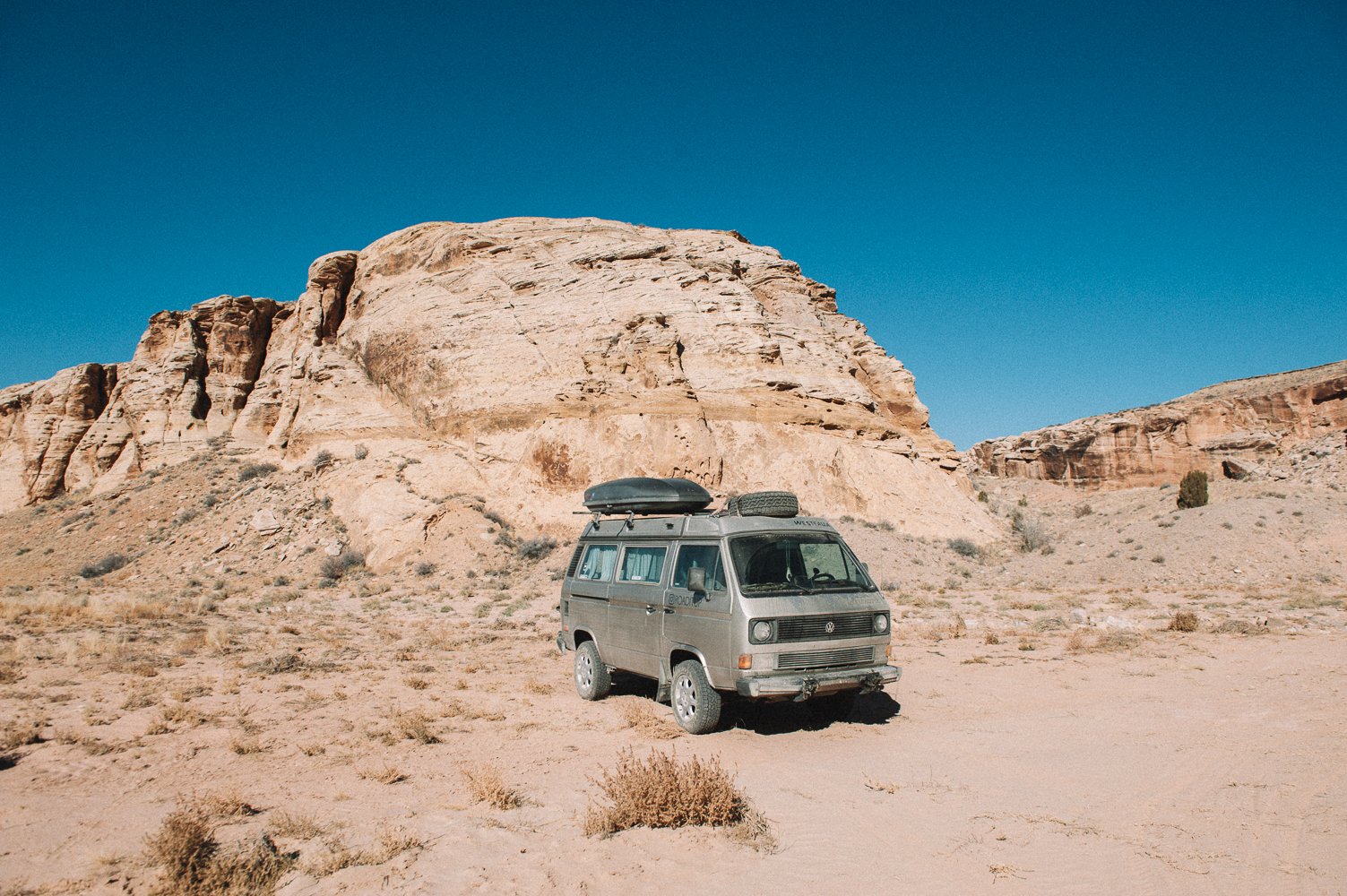
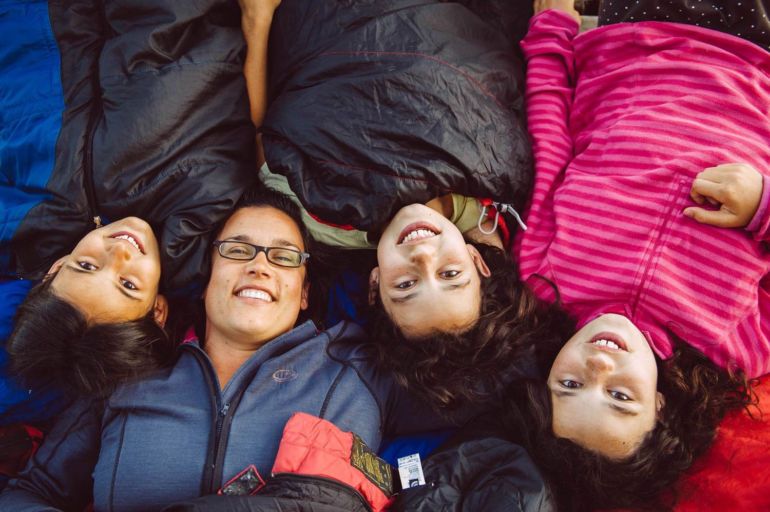
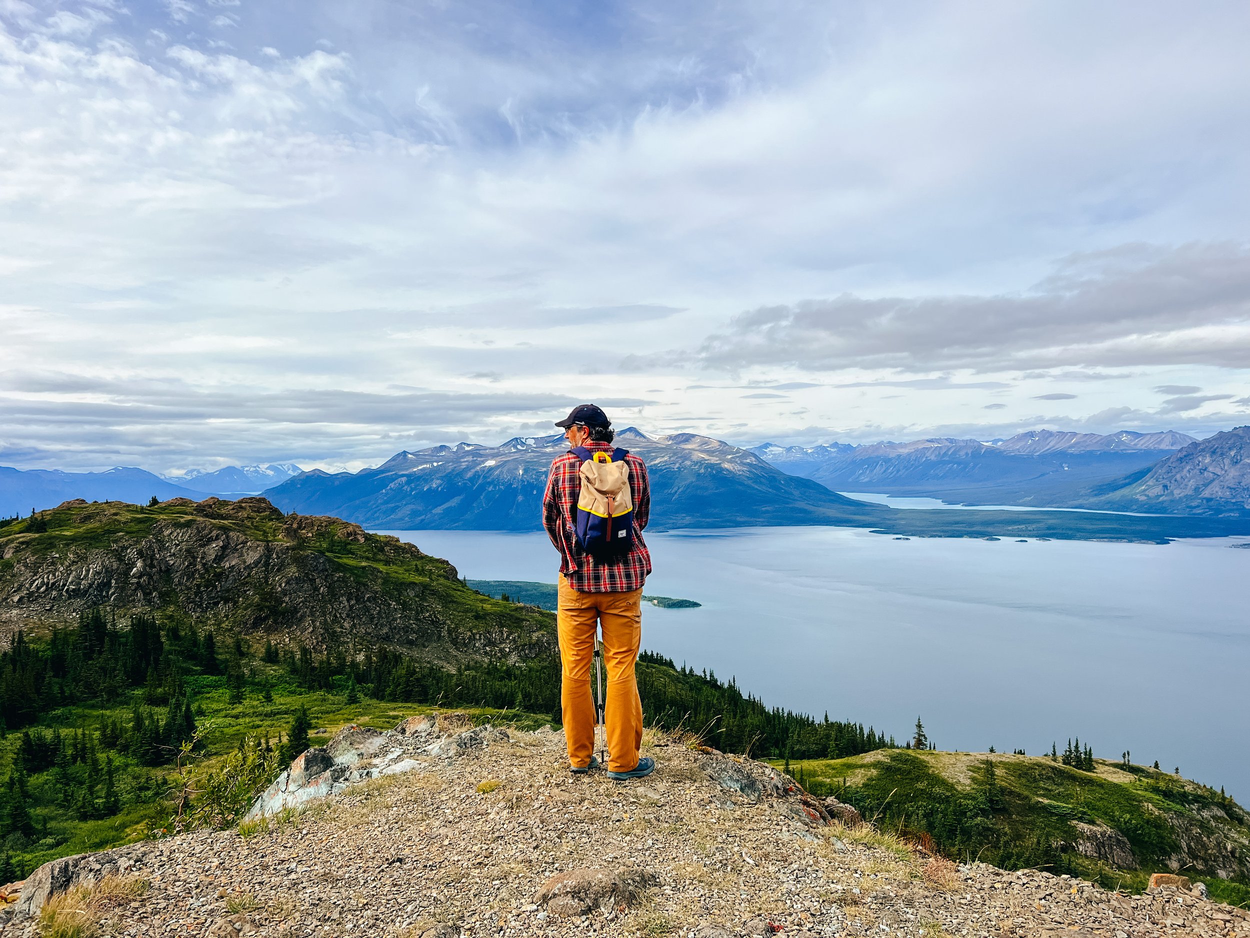
Full disclaimer: I was never wowed by the Rockies. We had camped in Banff and Jasper 18 years ago on our way to the Yukon with our old Westfalia and driven through the park a few times since then, but it was always so busy that I never could truly get a feel this beautiful place. This time, I really did. And I understand why people come from all over the world to see this place.

With the fall colors in full force and very few tourists because of the pandemic, it was the chance of a lifetime. So we drove from Squamish and back for a short 3 week road trip before settling down for the winter. And we’re so glad we did!

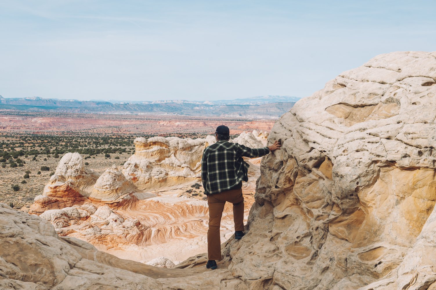
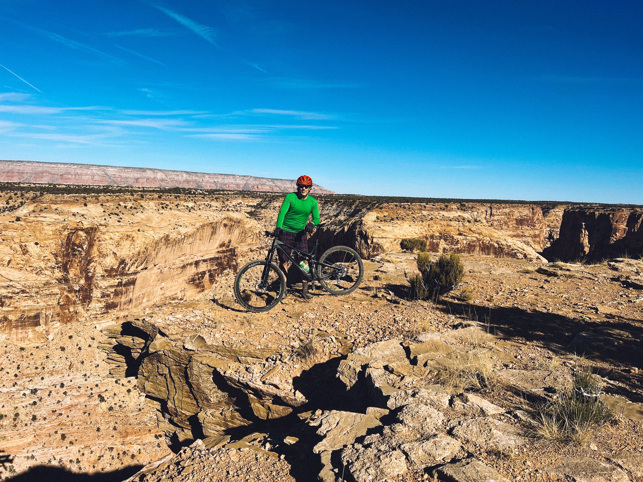
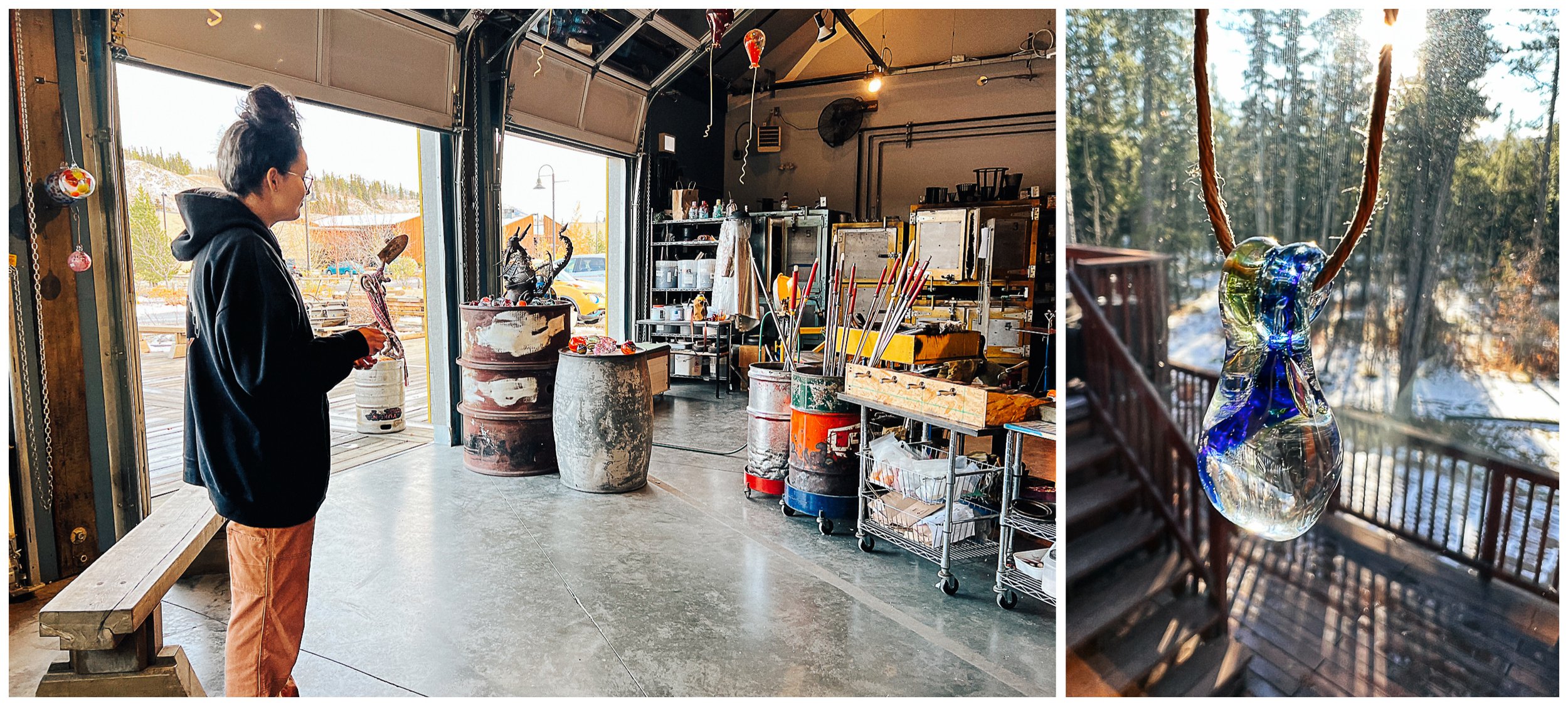
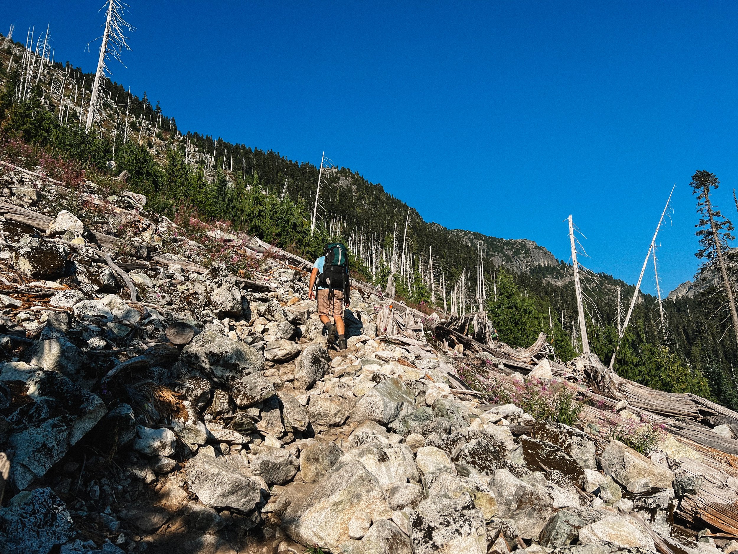
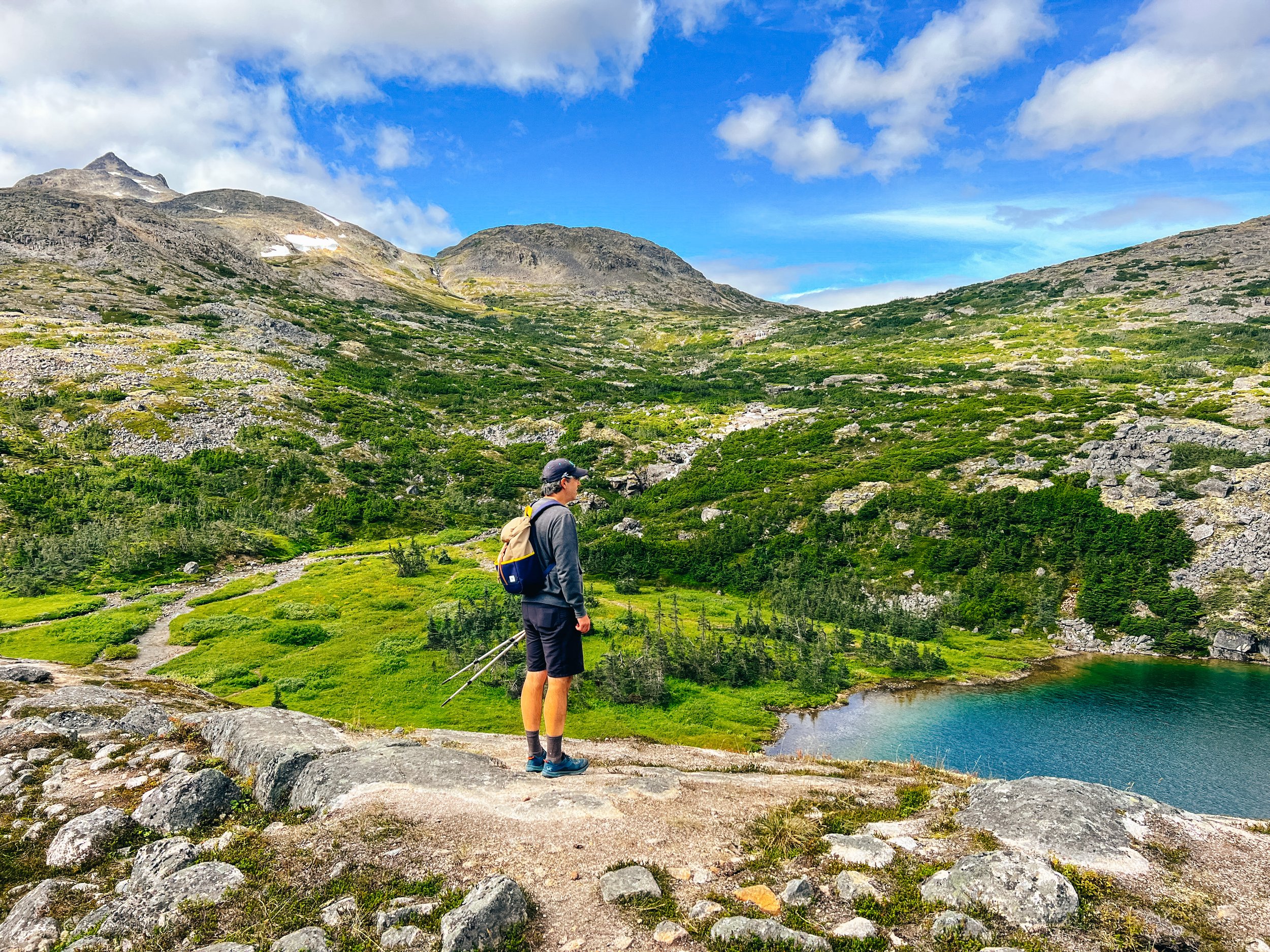
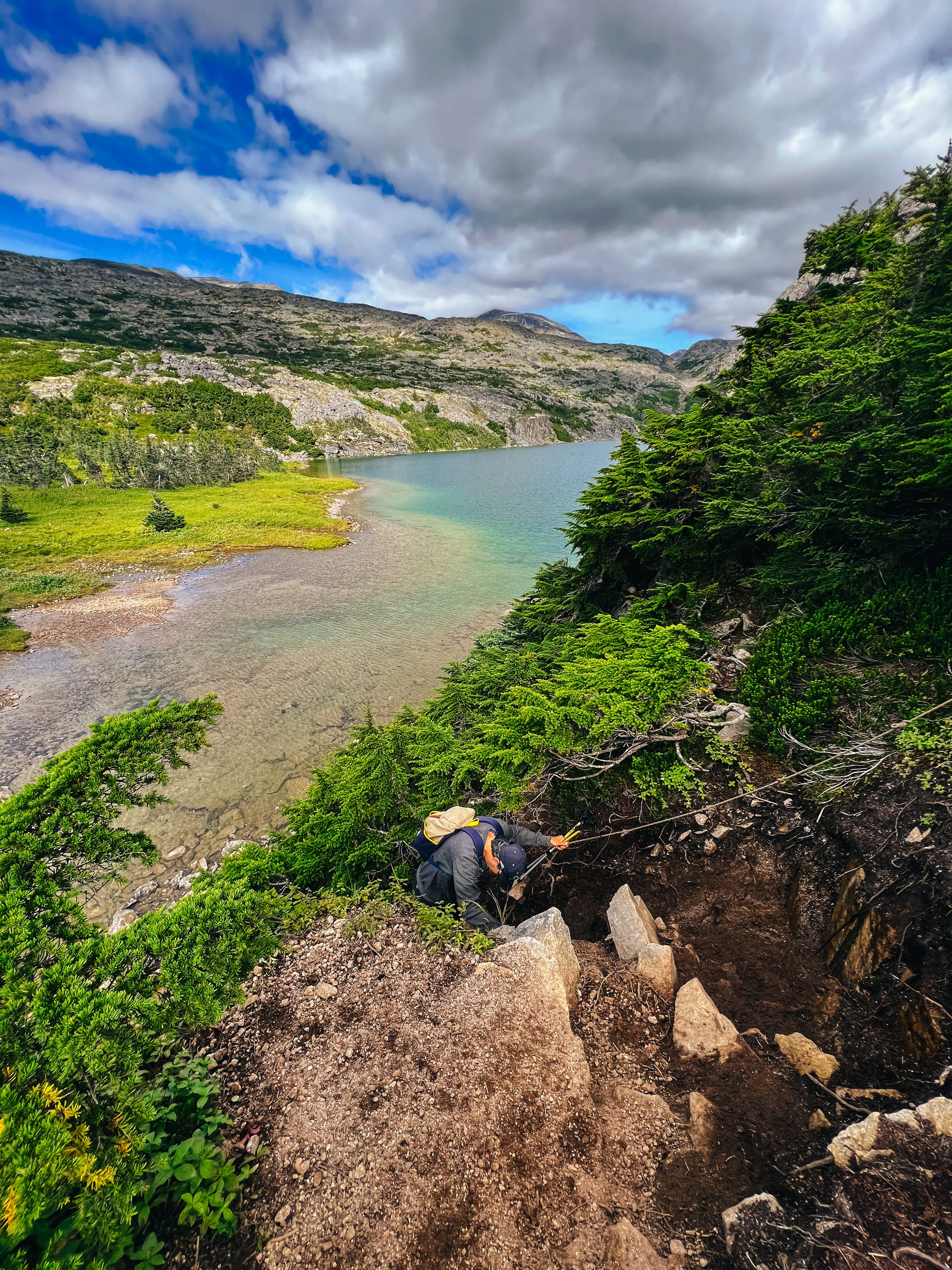
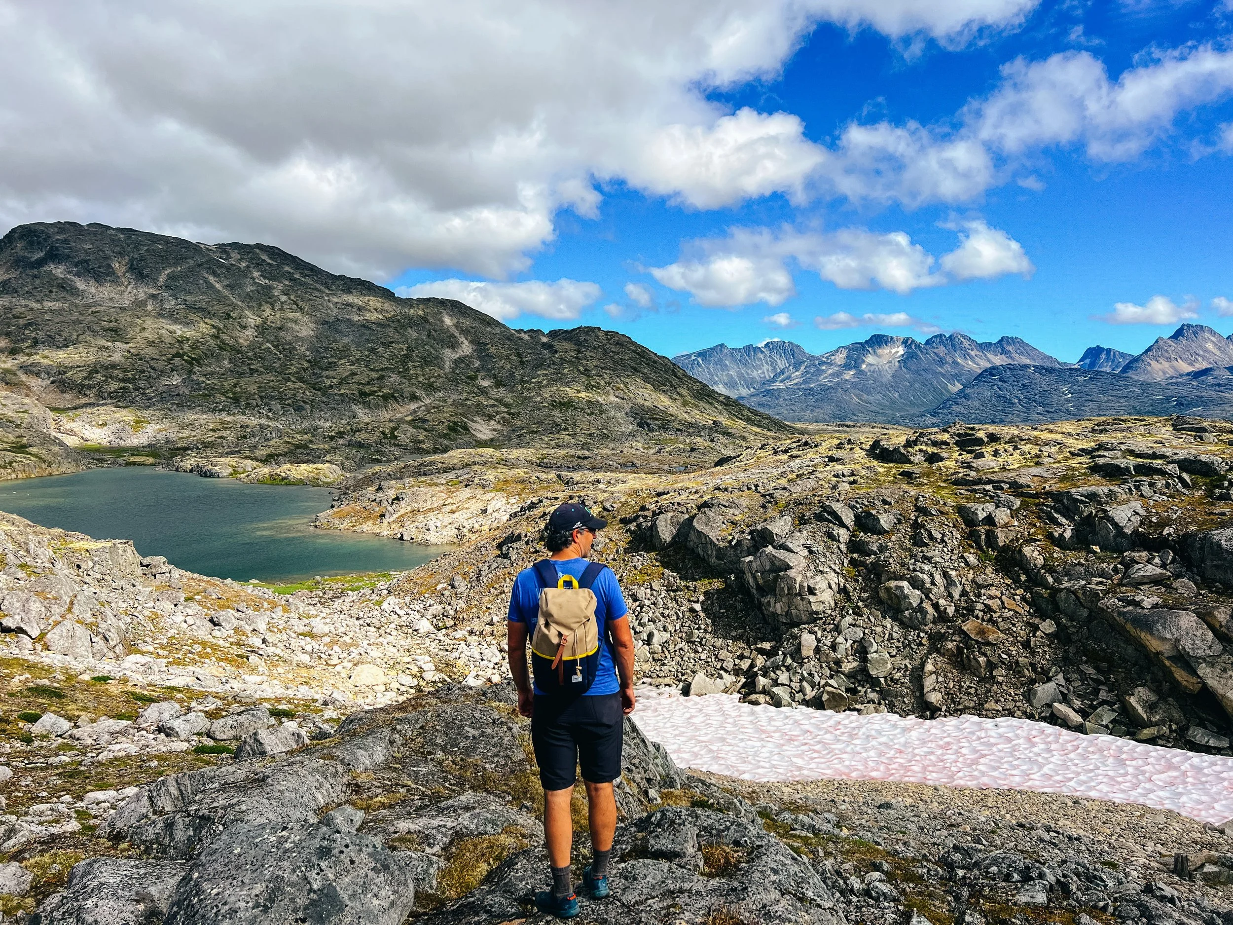
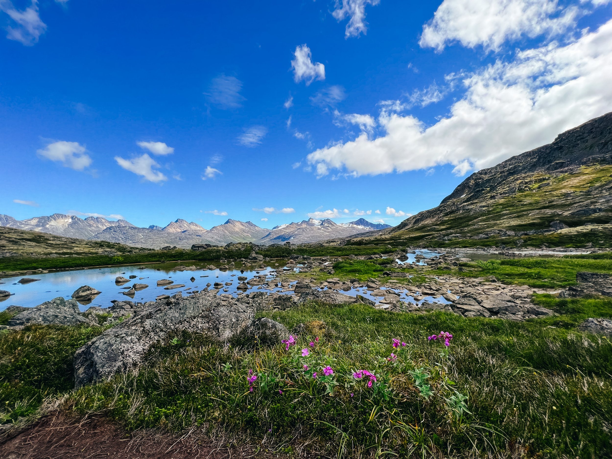
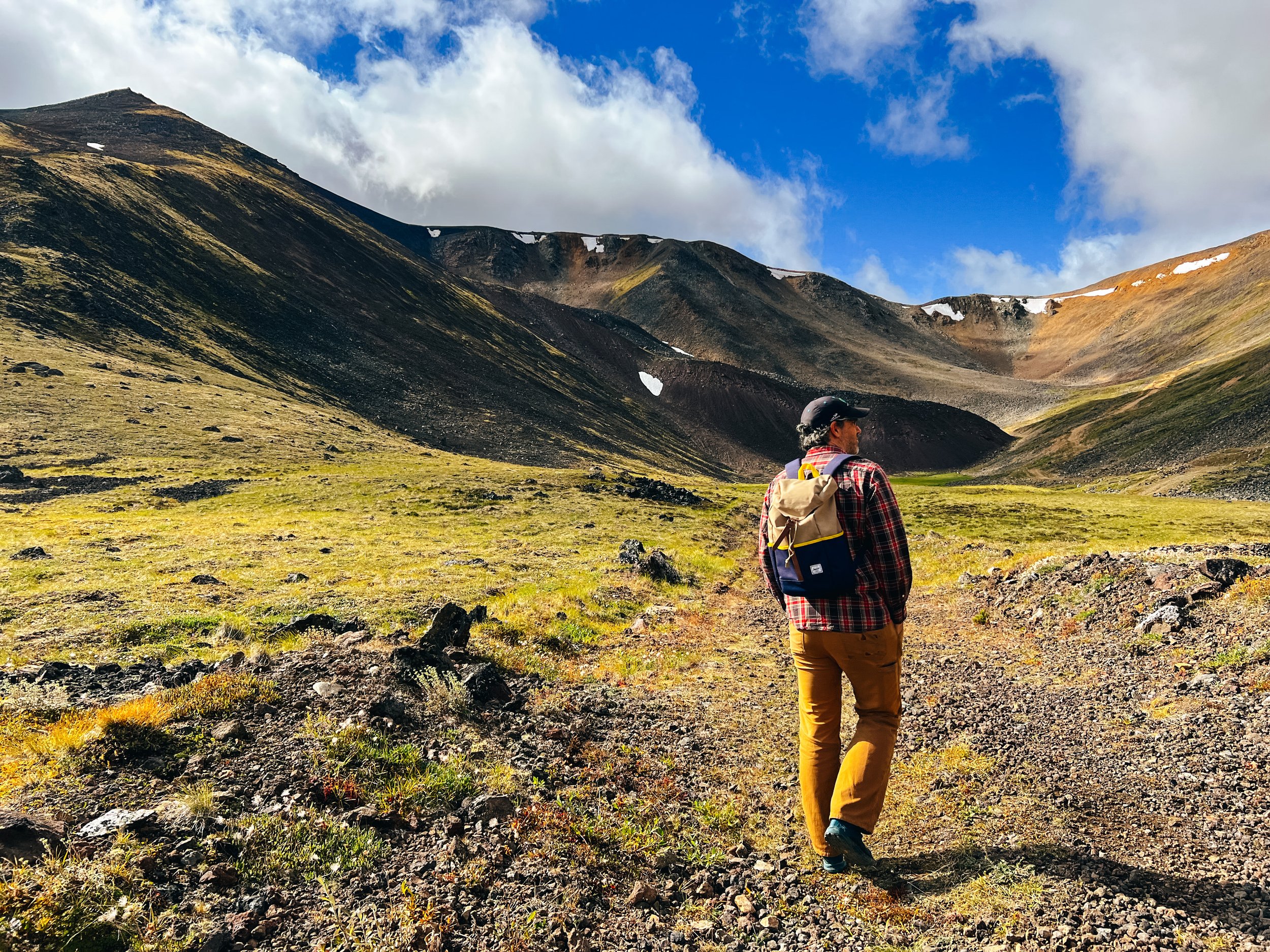
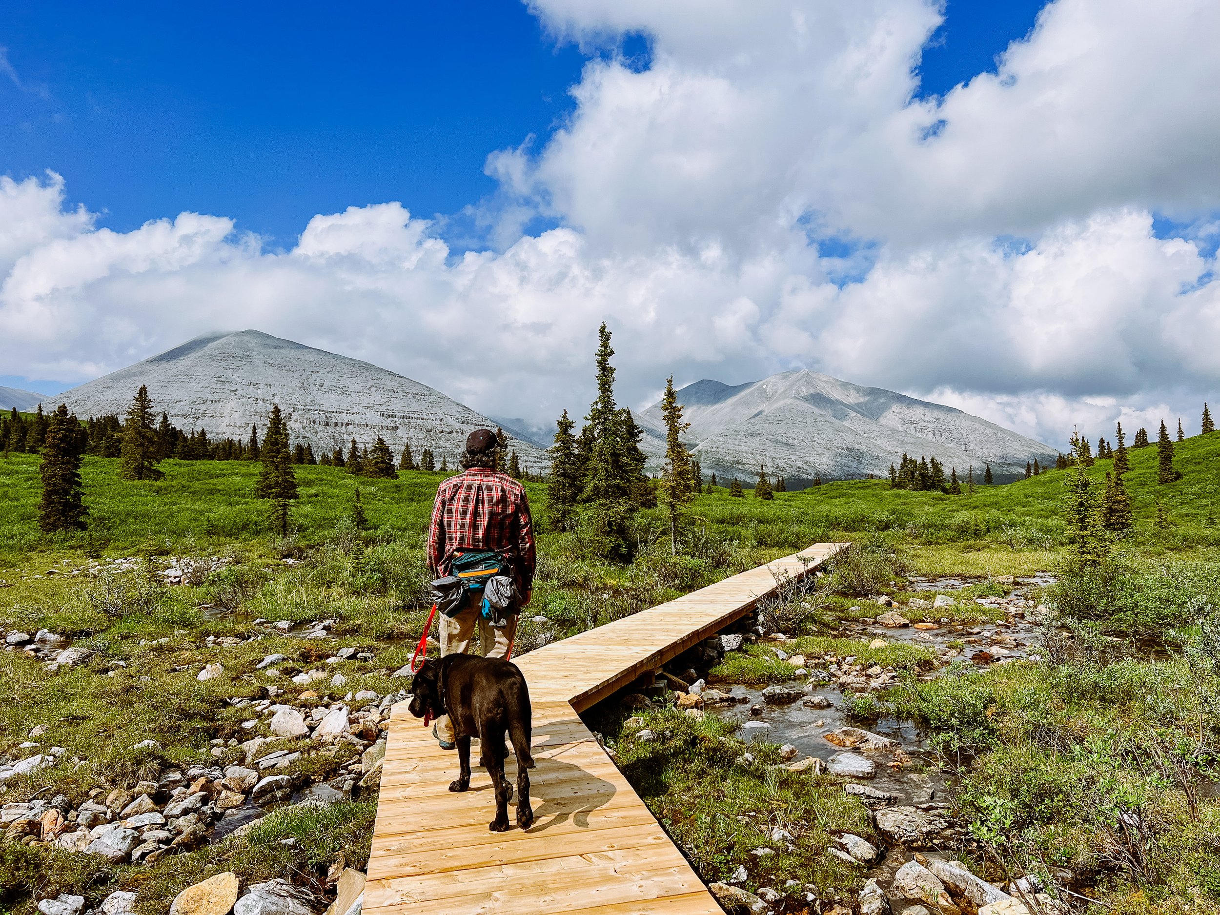
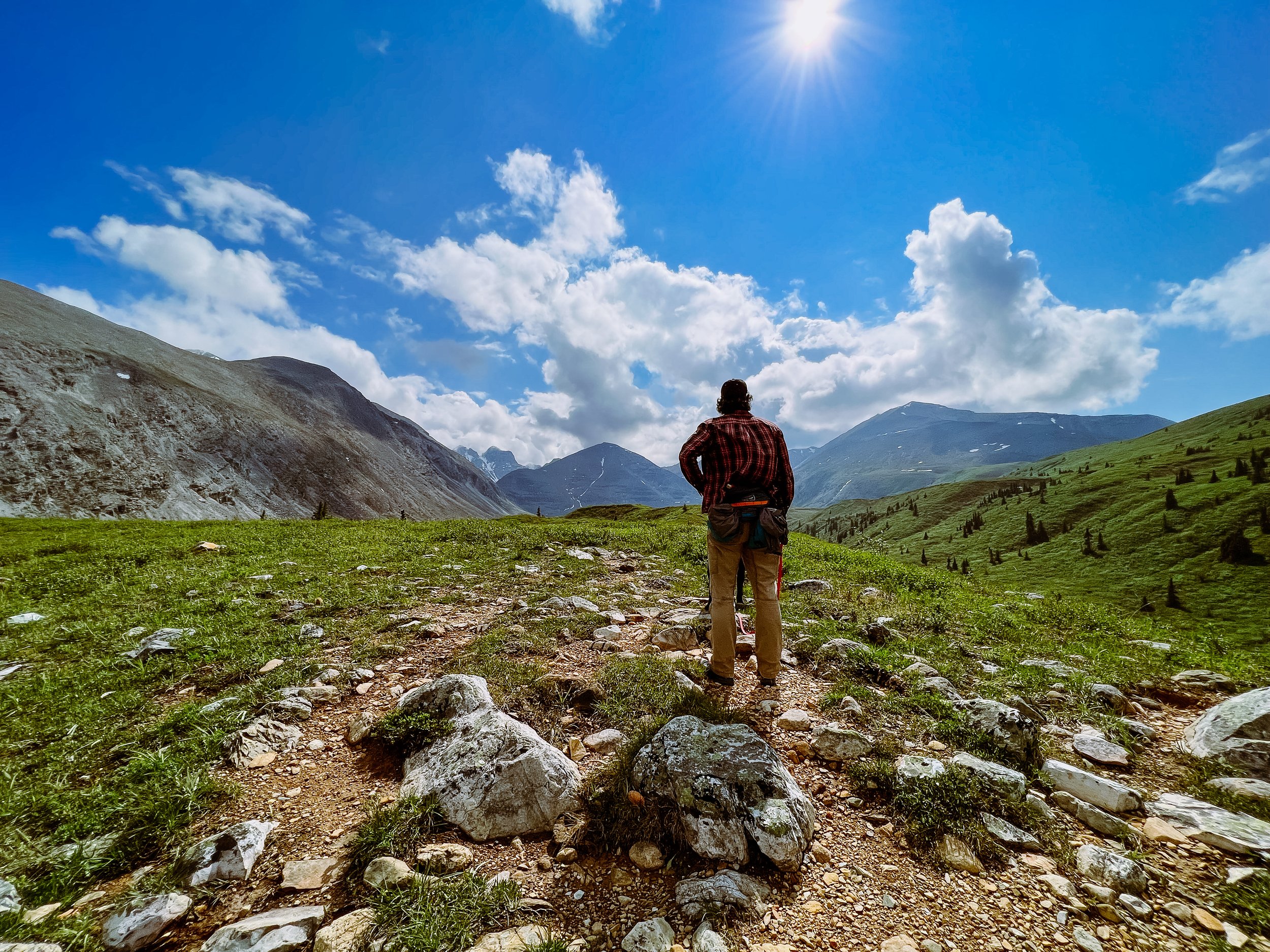
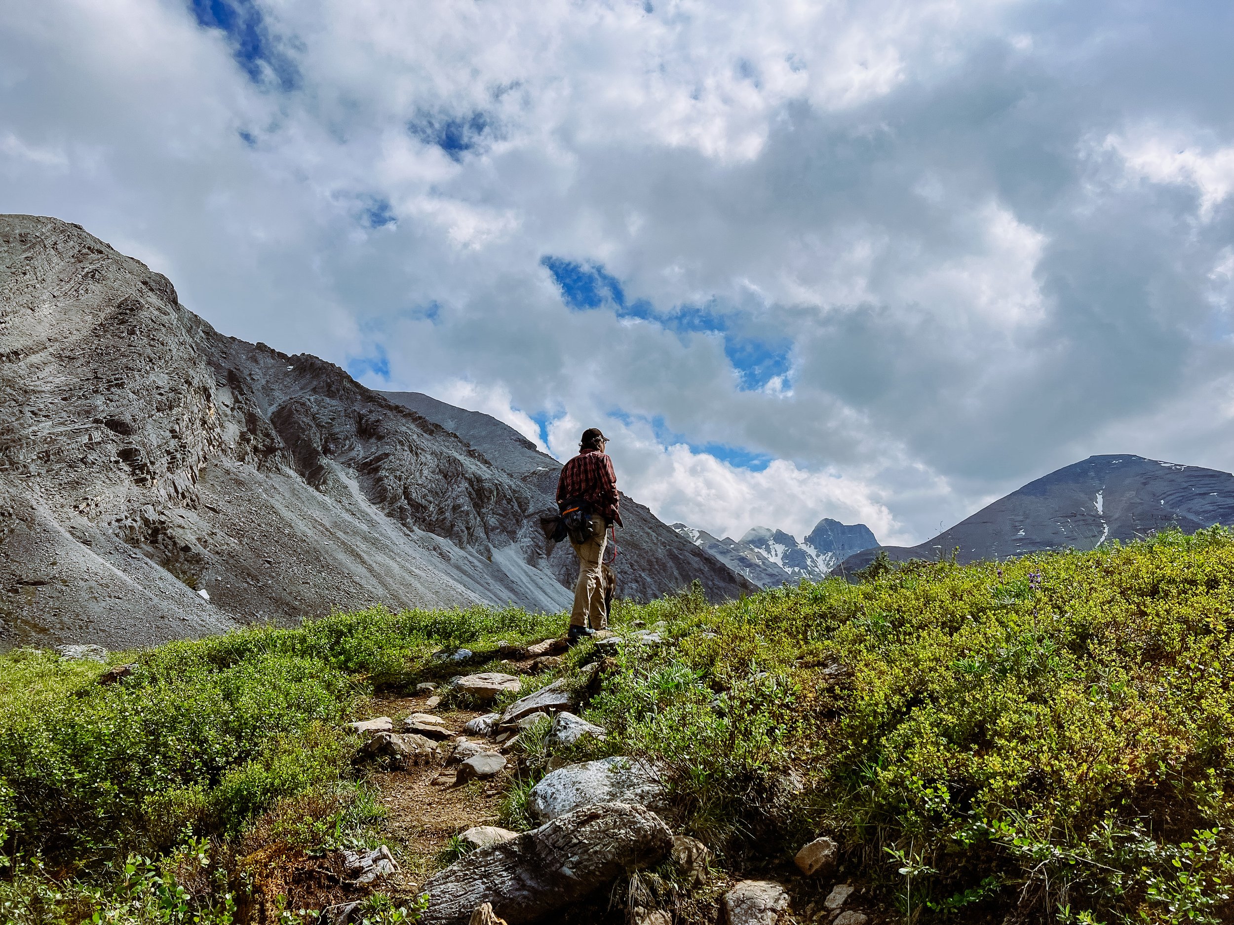
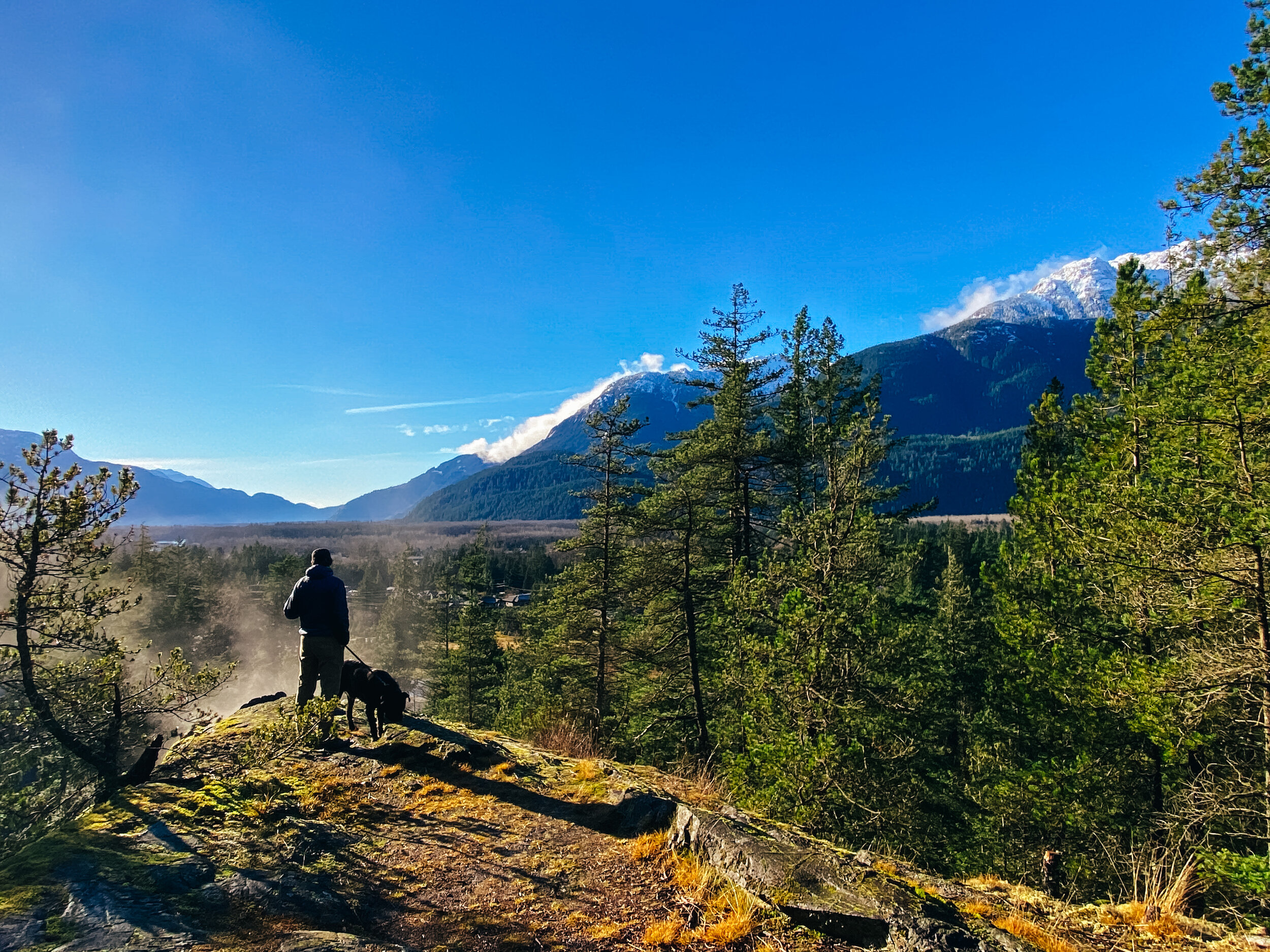
There are so many hikes to do in the area that I won’t even try to give you an exhaustive list, but I will gladly share our favorite. Some are short, some are long and involved, I’ll let you do your research depending on what you want. Interestingly enough, most hikes allow dogs on leash!

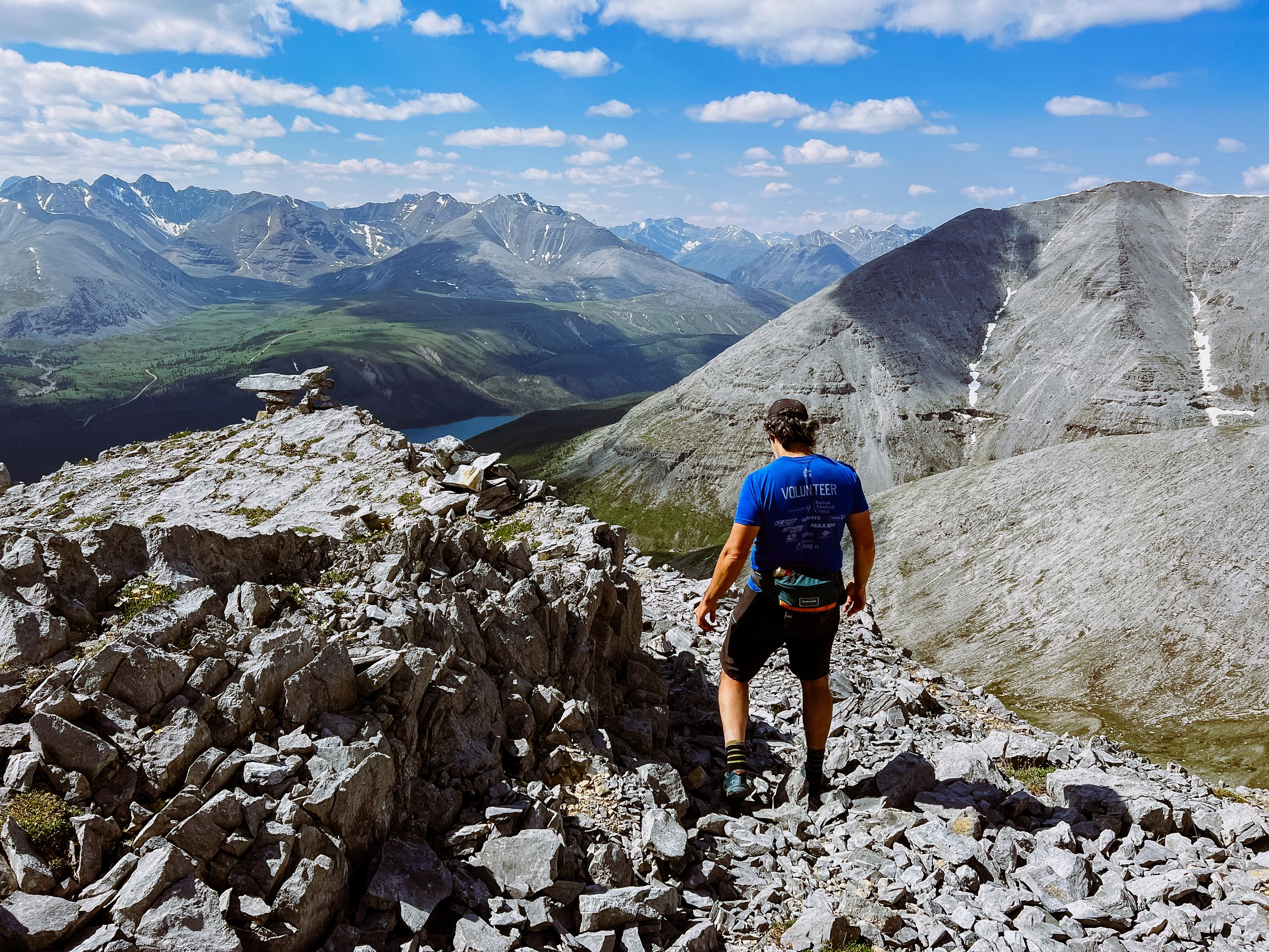
In the Spray Lake area, our favorite was Tent Ridge (a horseshoe loop on a stunning ridge, be warned that this is not a beginner hike, there is some exposure and some mandatory scrambling). A good shorter one south of Canmore is Little Lougheed (steep but offering rewarding view).

There are lots of hikes around Canmore; Ha-ling Peak is a popular one. We did West Wind last year and found it very rewarding.

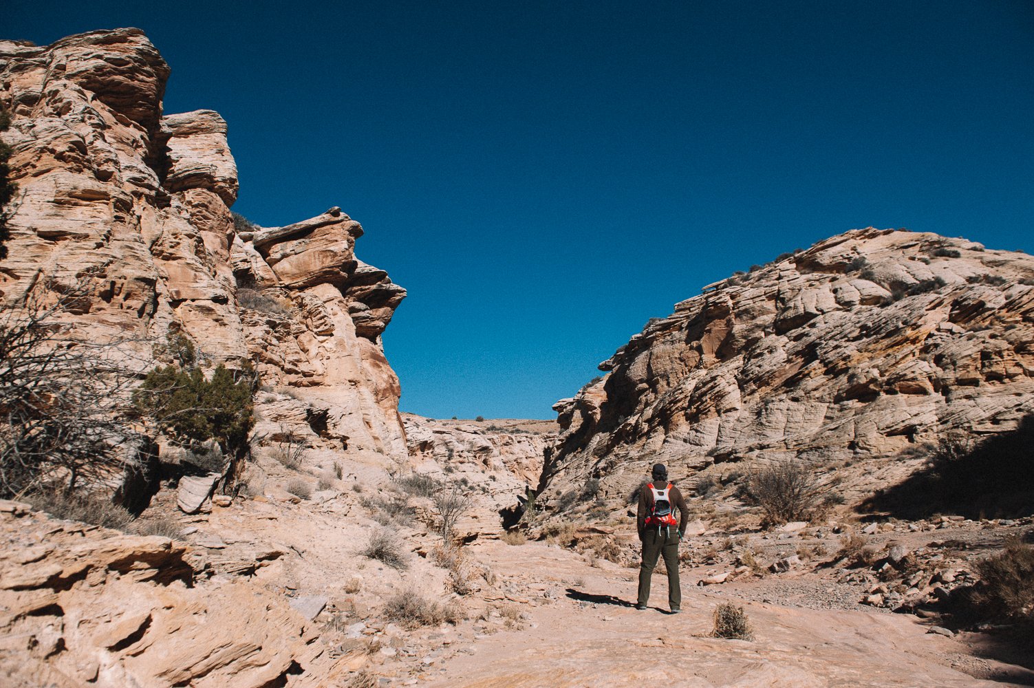
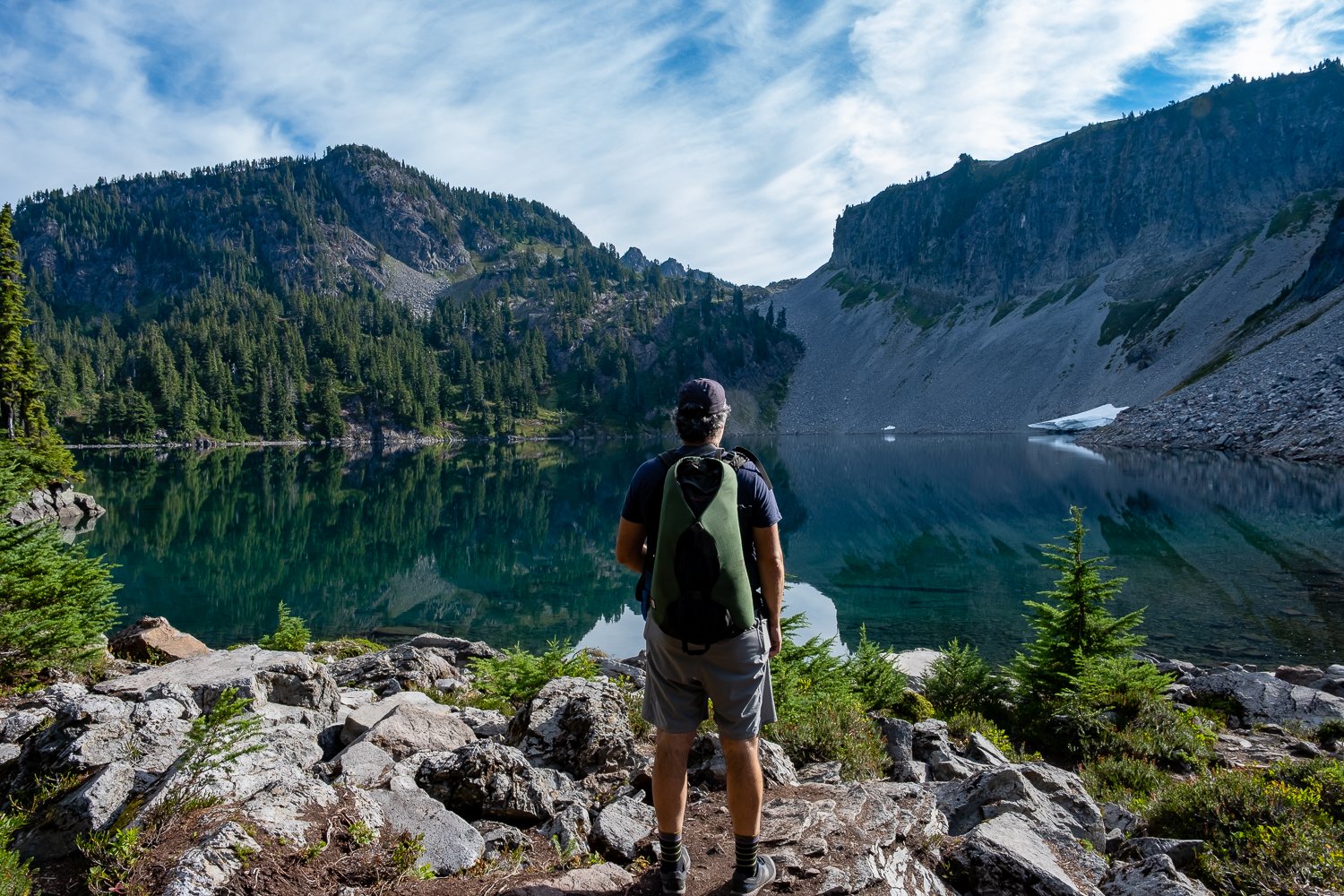
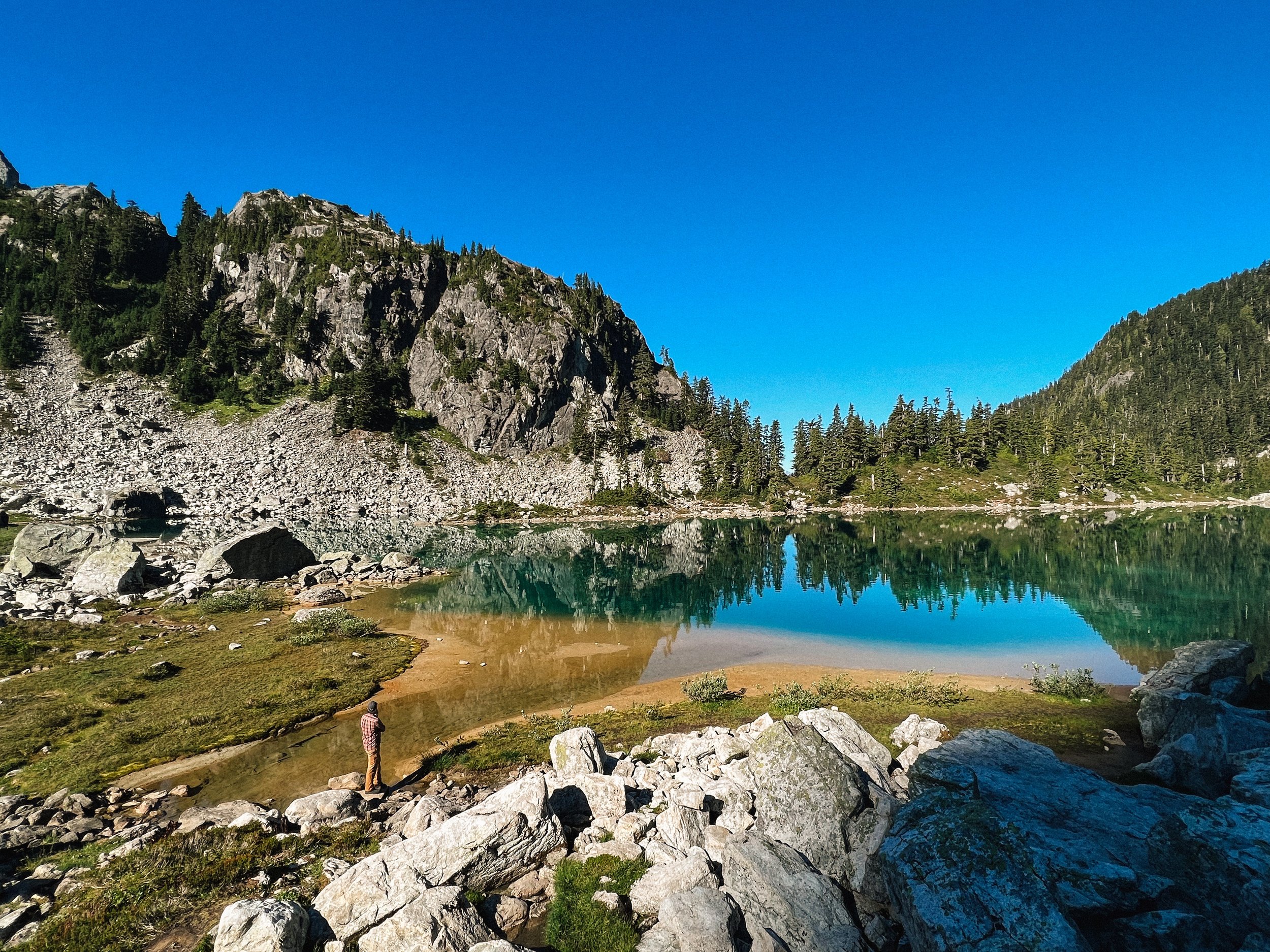
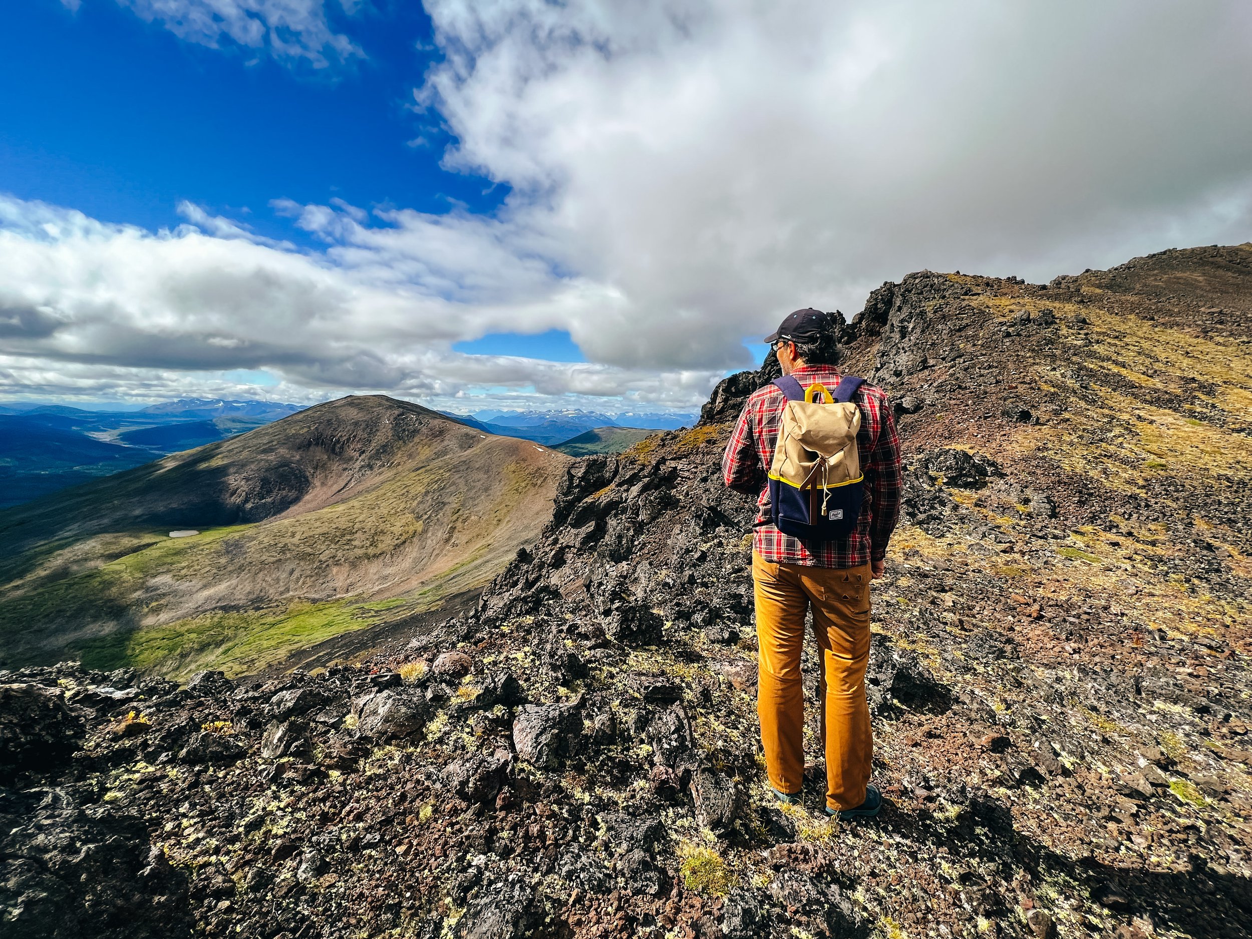
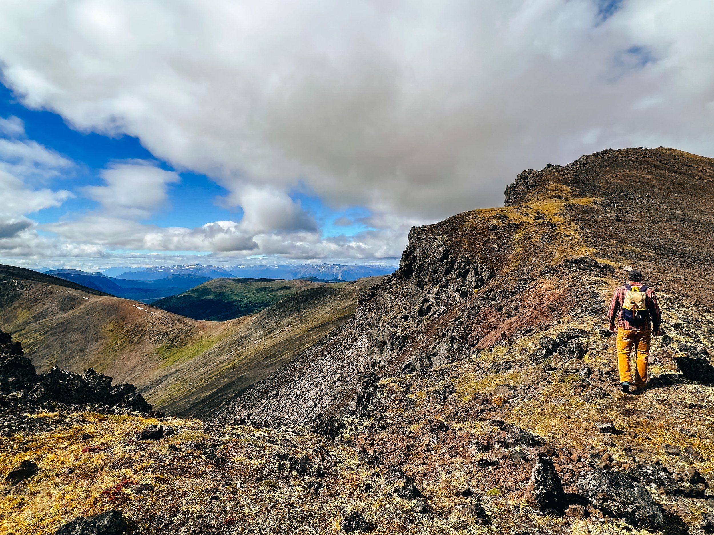
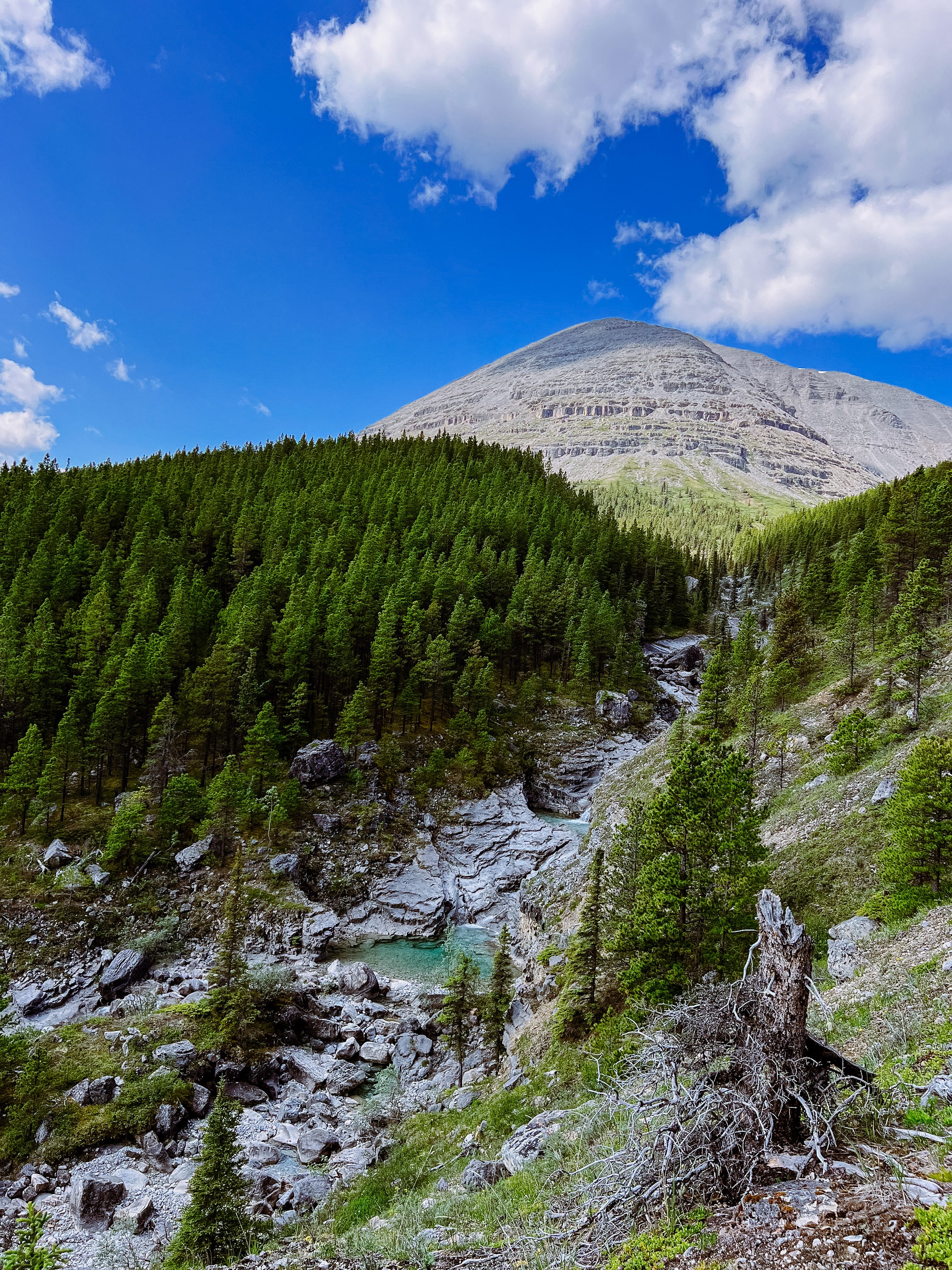
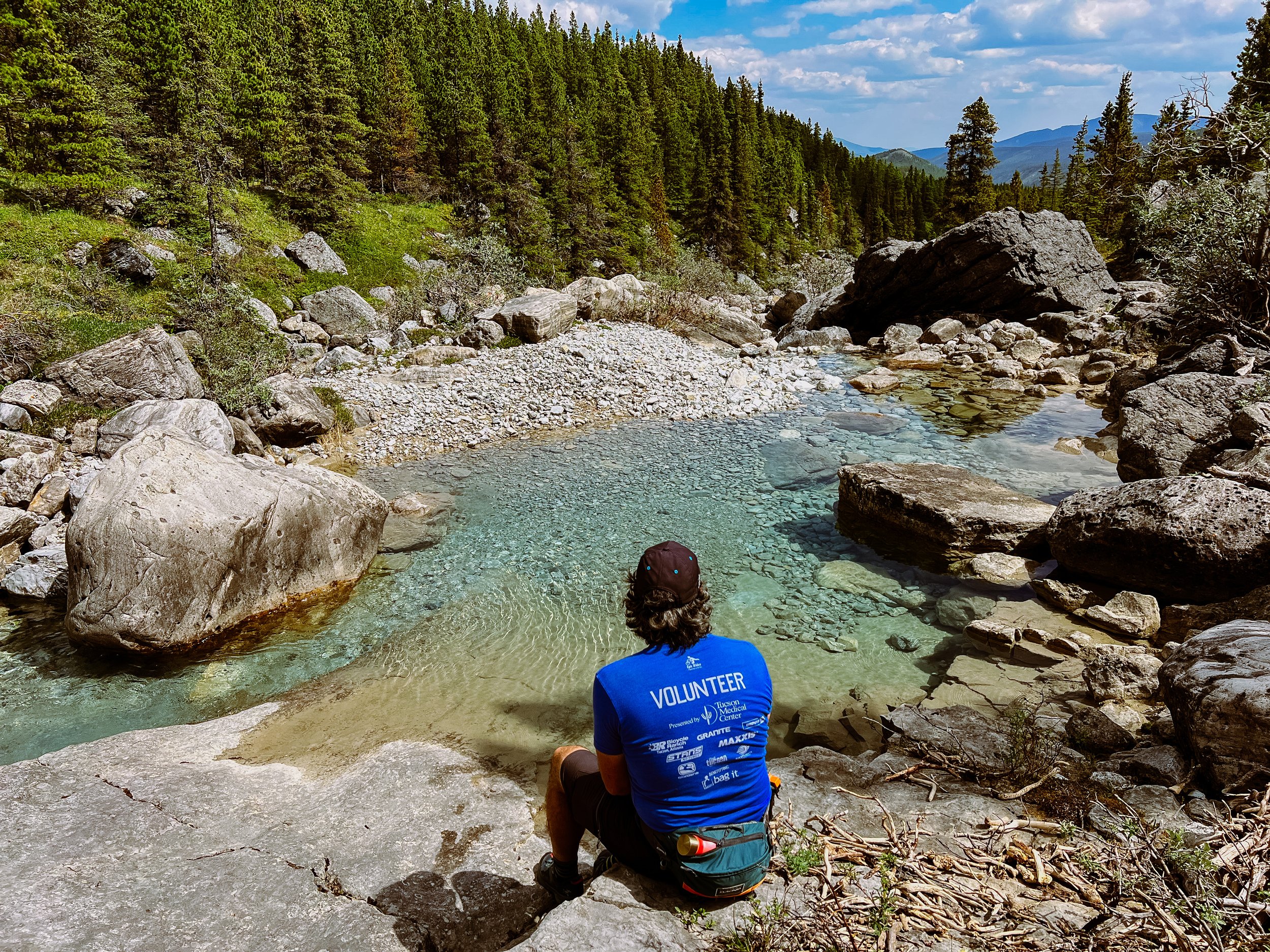
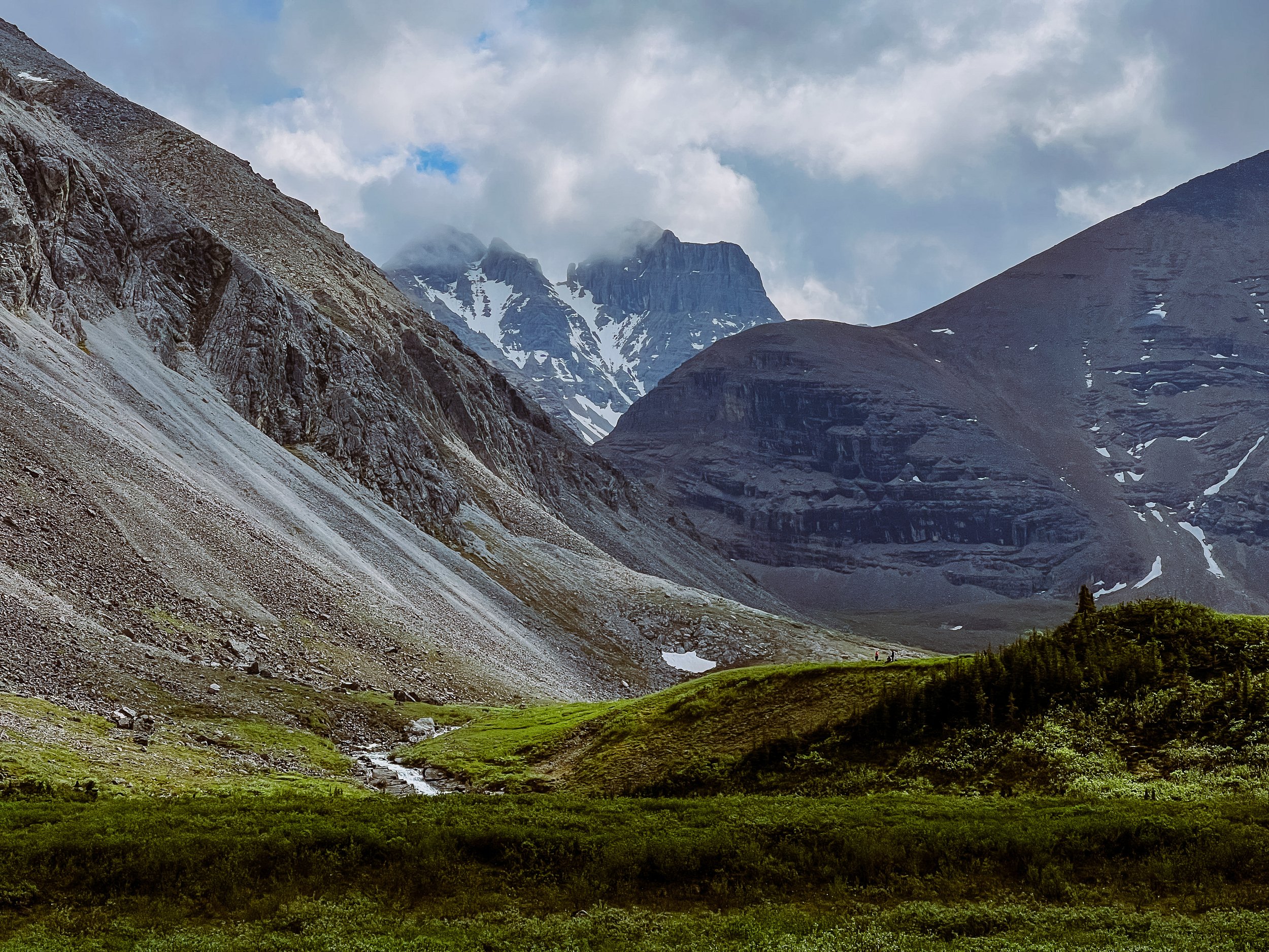
In the Park, between Banff and Lake Louise, Stanley Glacier and Arnica Lake are both beautiful hikes, especially in the fall. While you are in the area, go check out Marble Canyon (a short 1,4 km hike).

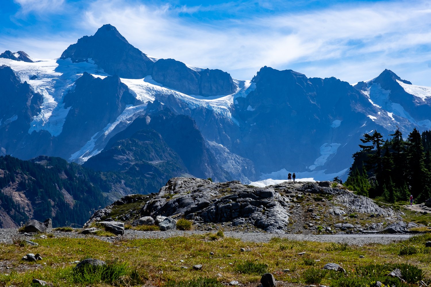
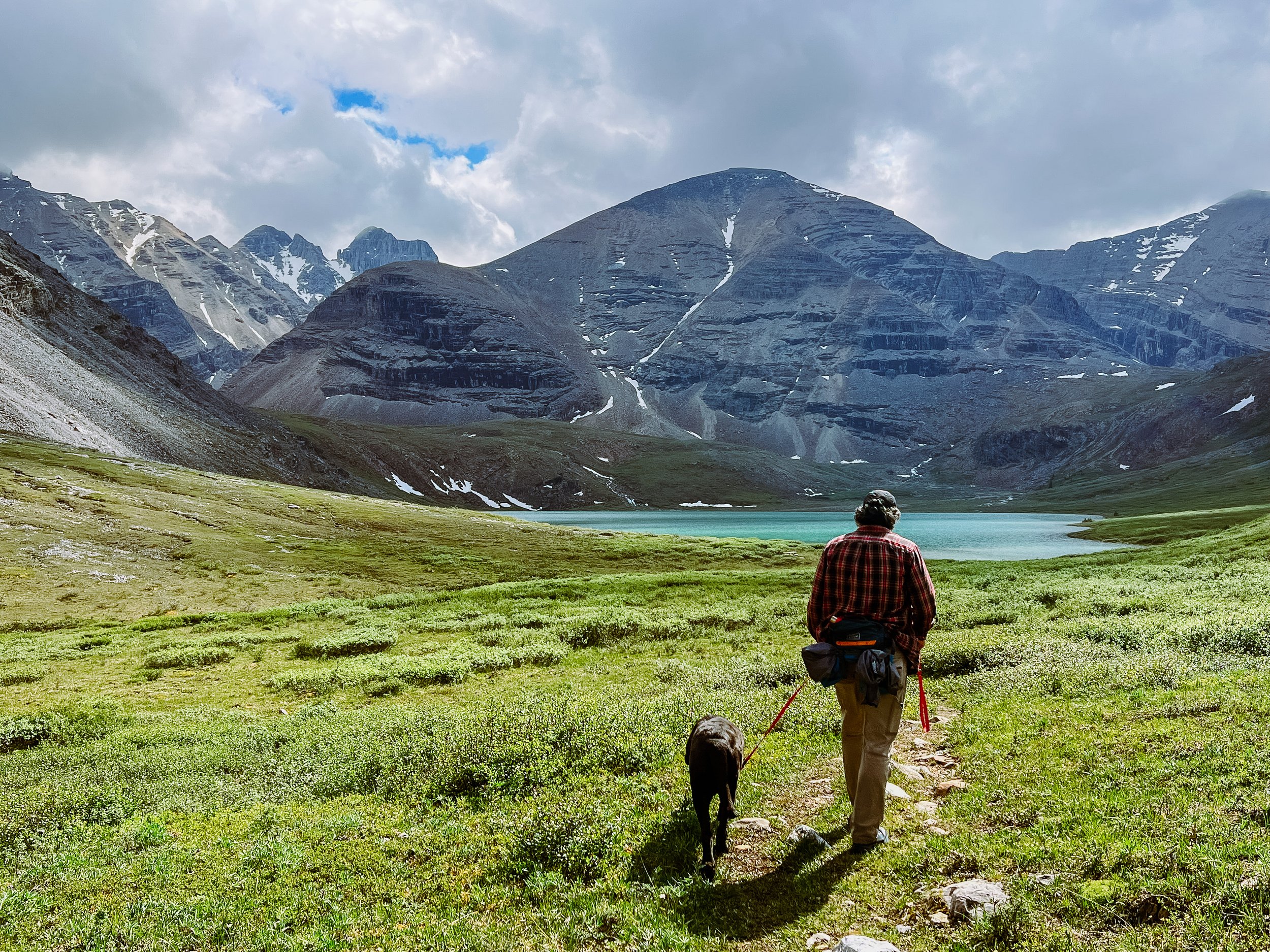
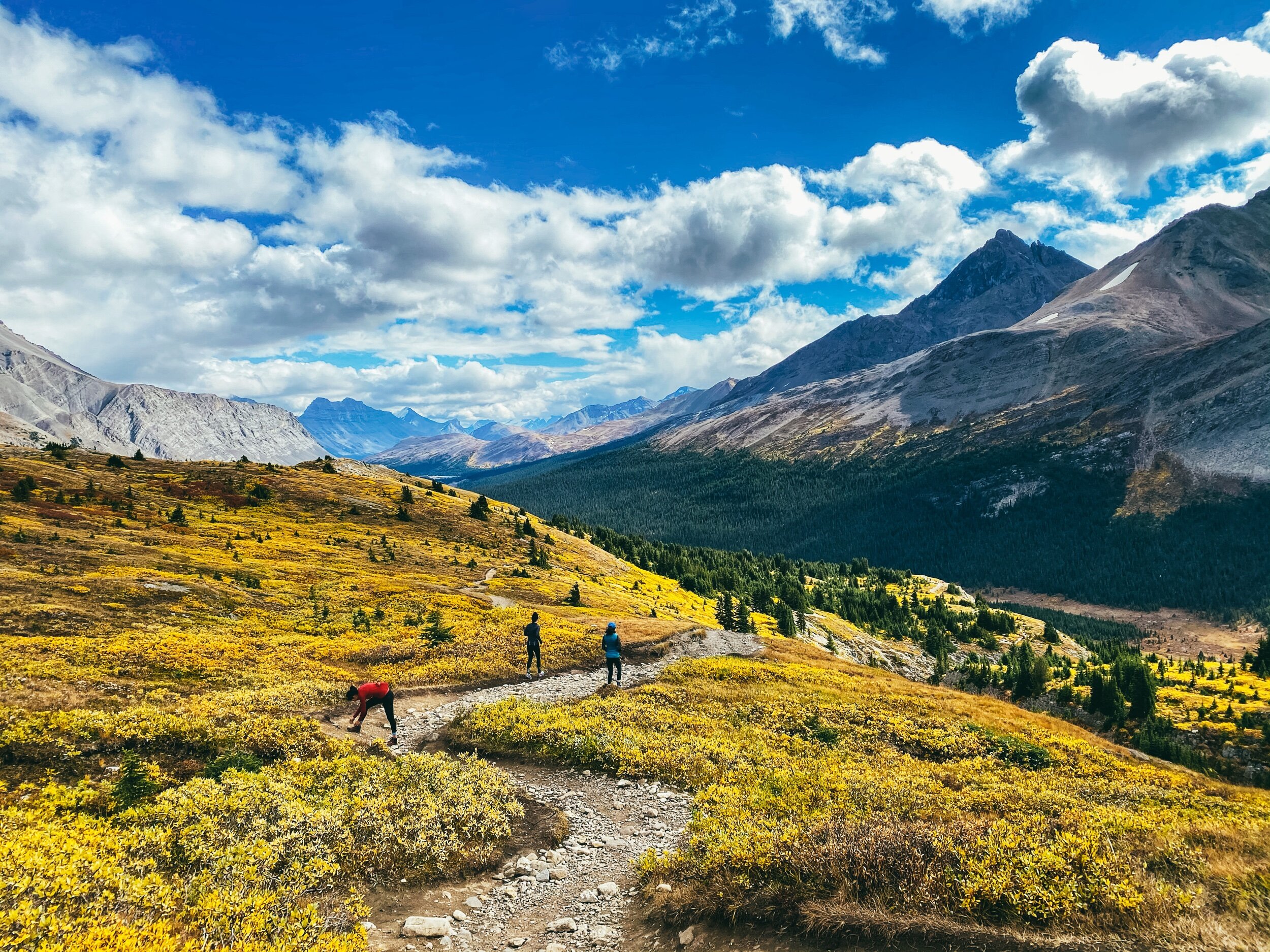
Near Lake Louise, Paget Peak is beautiful and Iceline Trail looks like a fun challenge. Cirque Peak Trail is also on our list for next time.

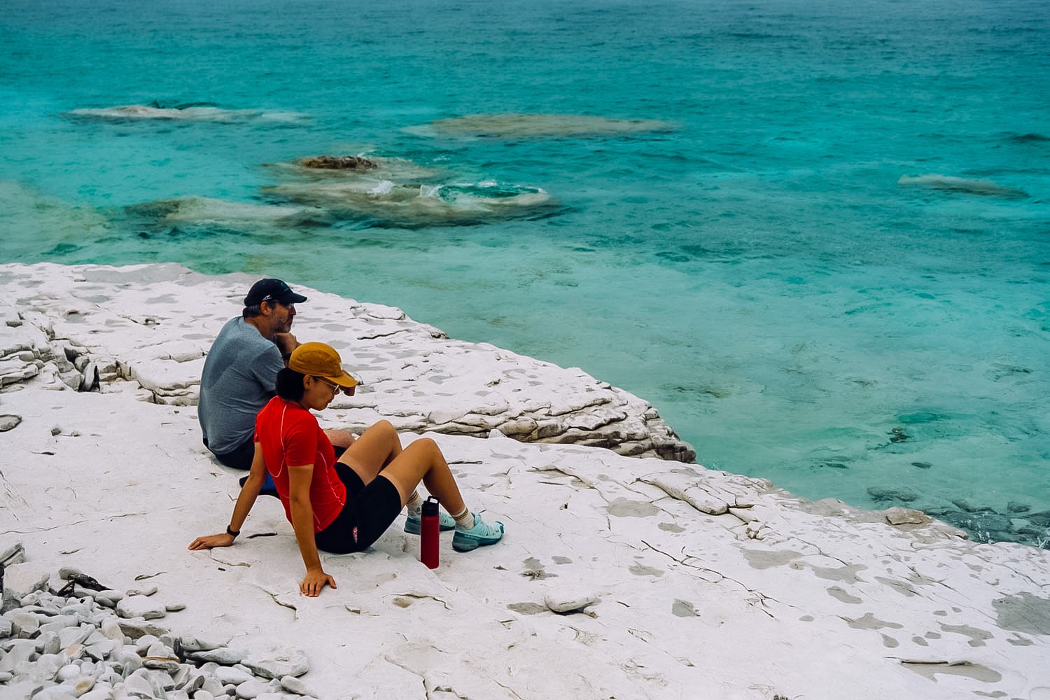
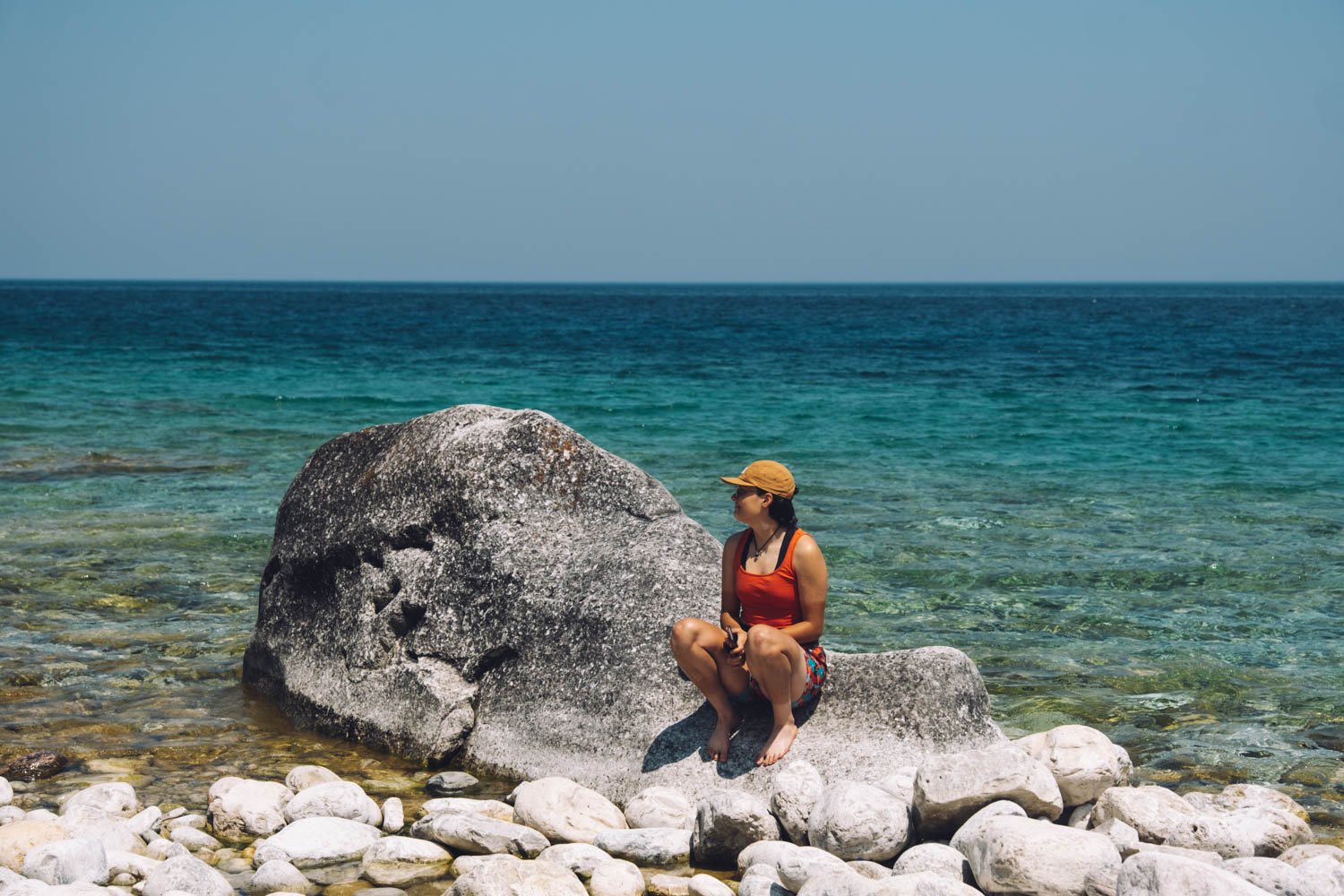
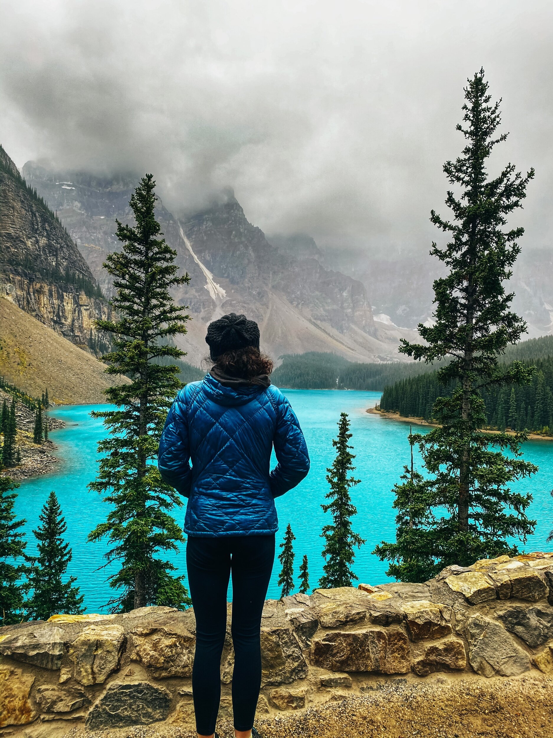
By the way, if you have to beat the crowds to see either Lake Louise or Moraine Lake, pick Moraine! It is bluer and more beautiful. Go during the week (pick a day when the shuttles don’t run if that’s an option) and go after 4 pm. Or go super early. And since you got up that early, you might as well hike the Larch Valley Trail, especially in the fall when the larches are yellow!

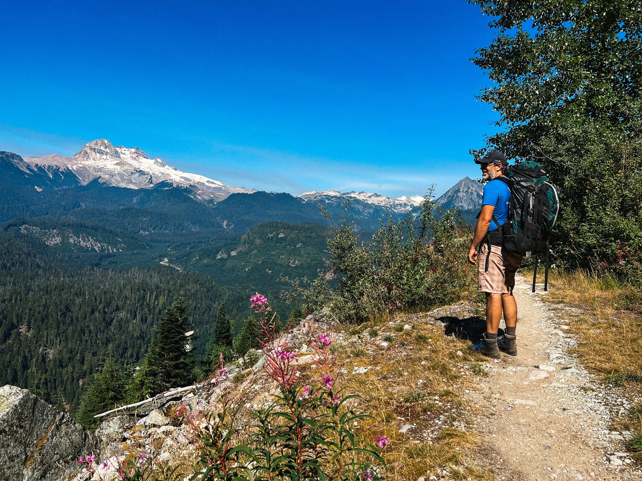
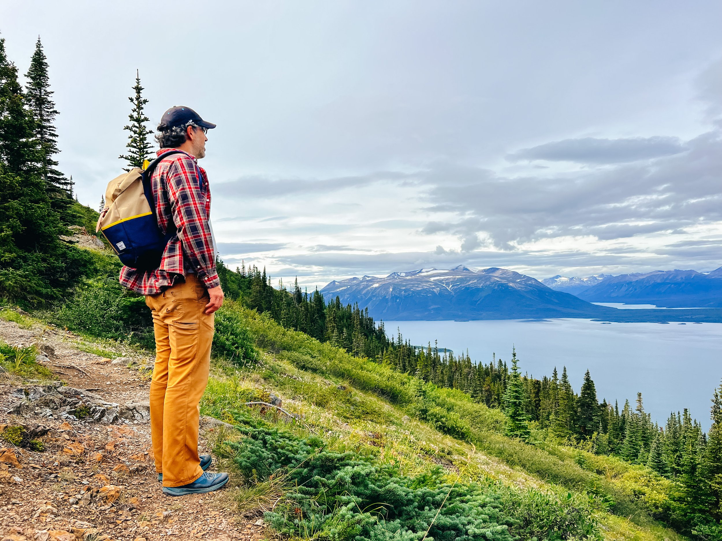
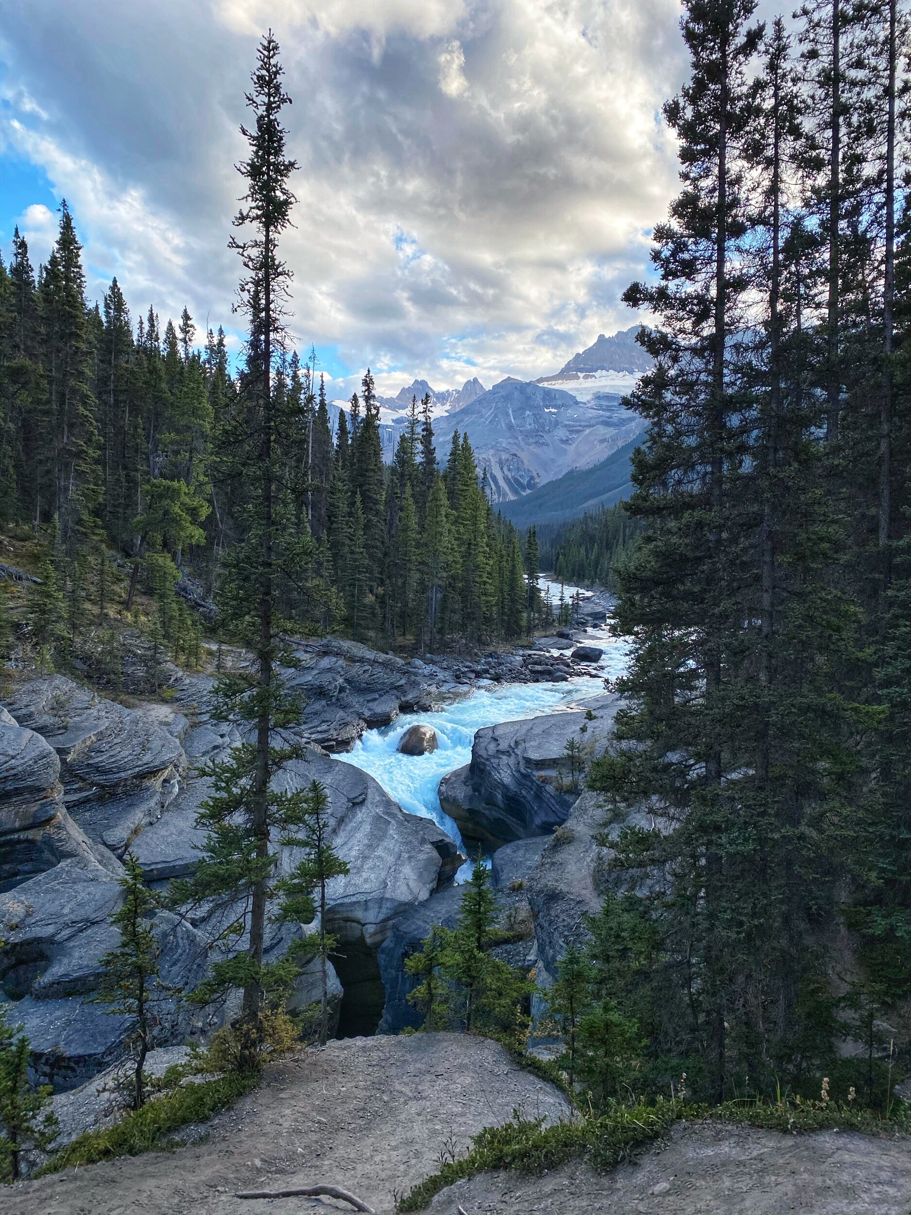
On your way up toward Jasper, you can stop to stretch your leg and see beautiful Mistaya Canyon (1 km). Keep going North onto the Icefields Parkway and stop to hike Parker Ridge and Wilcox Ridge (so gorgeous in the fall!).

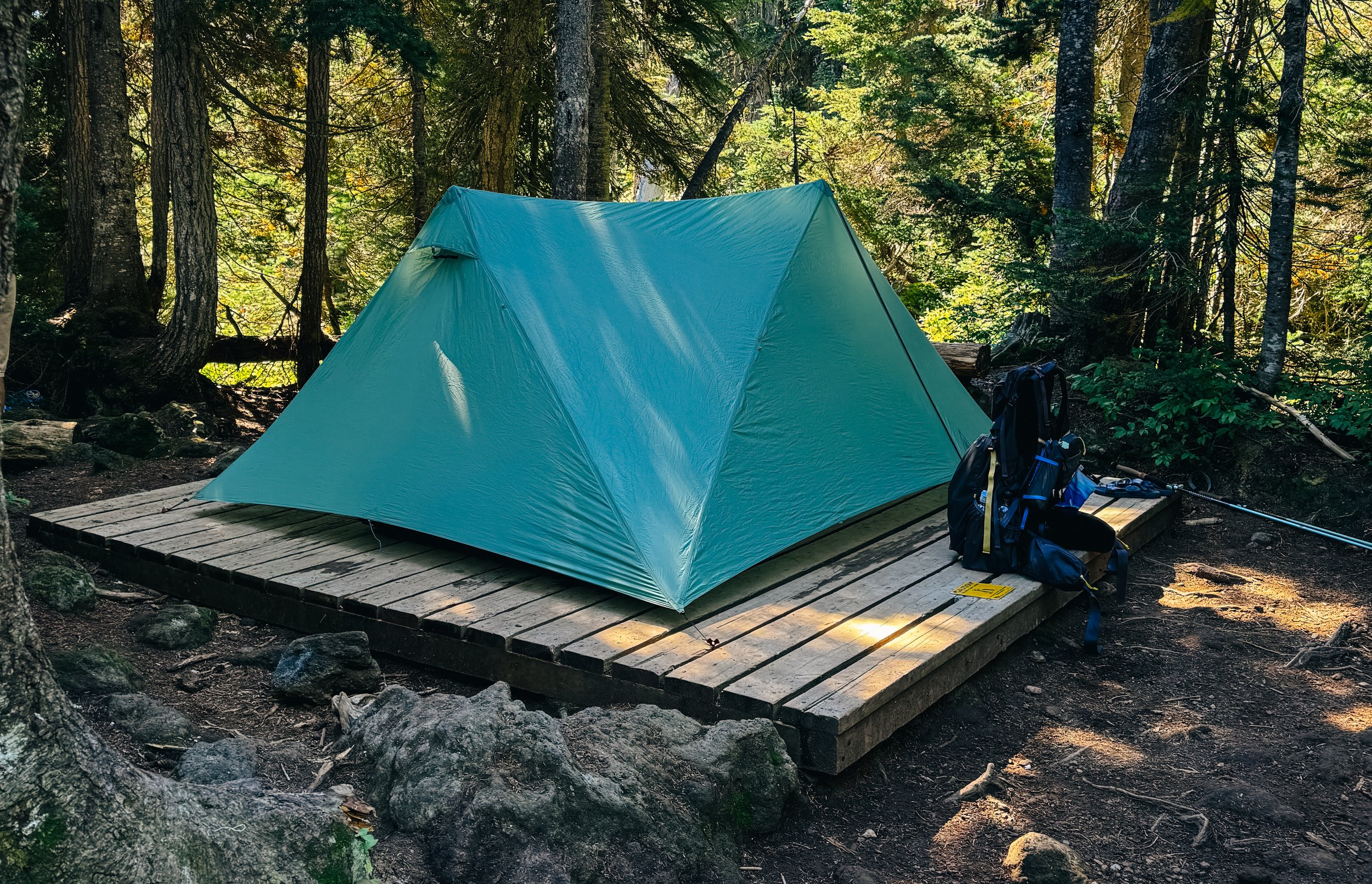
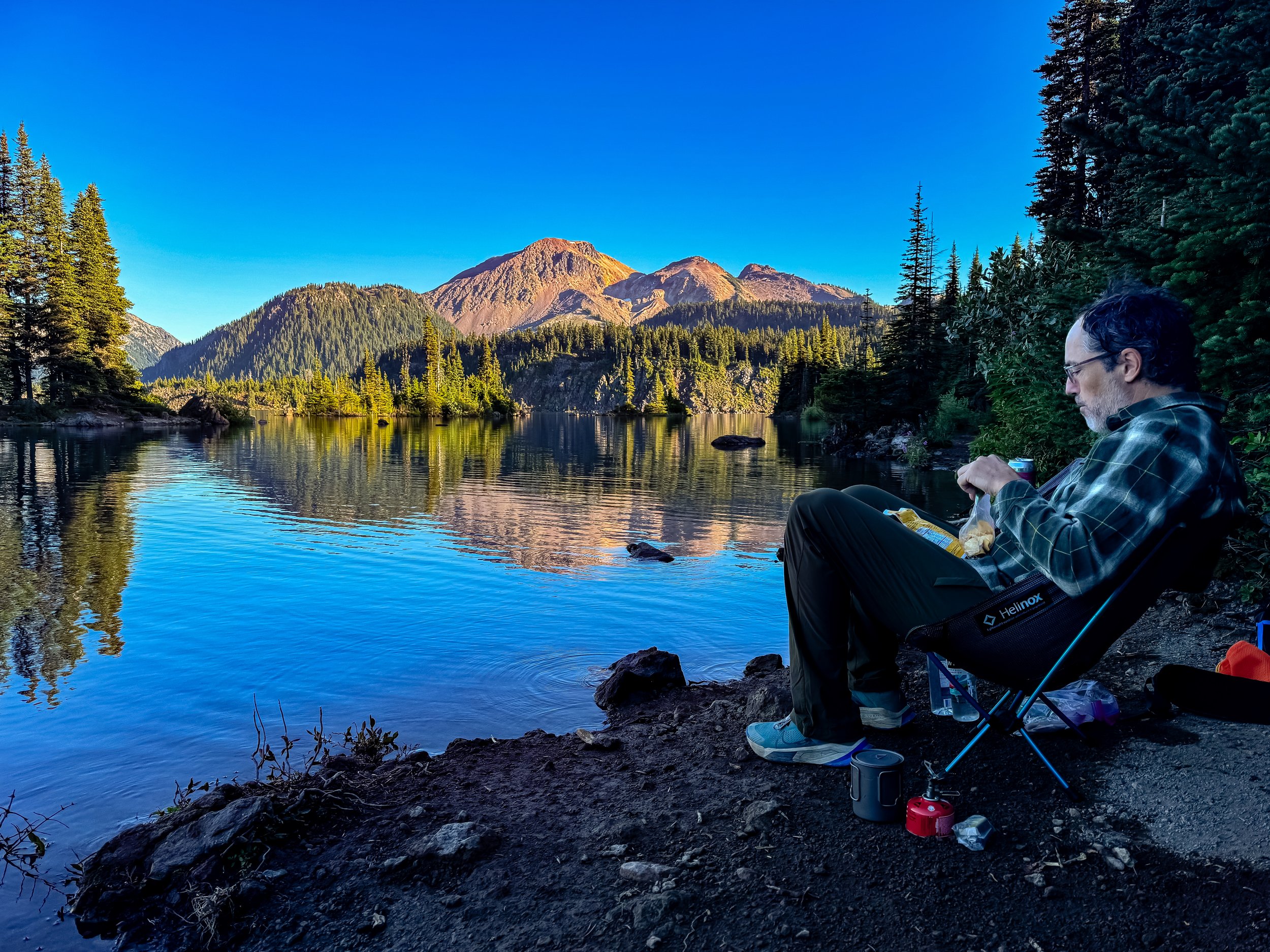
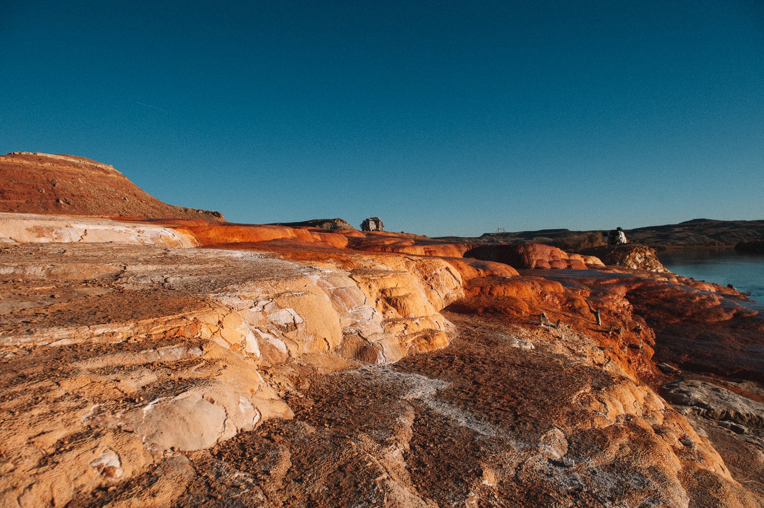
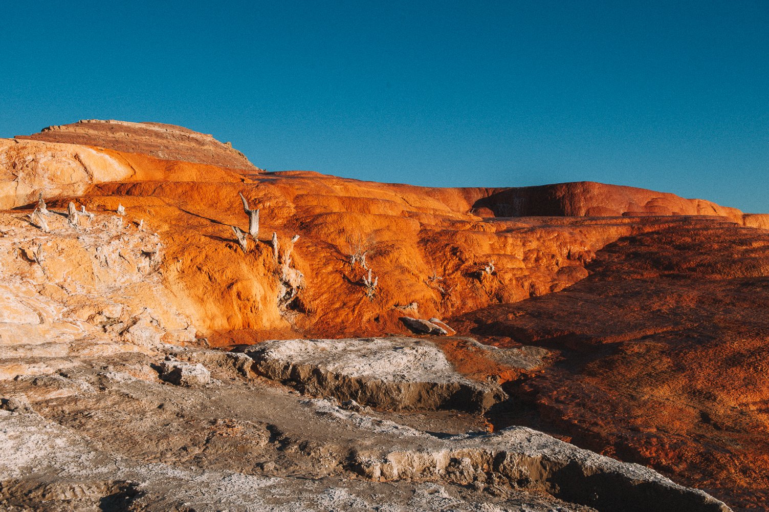
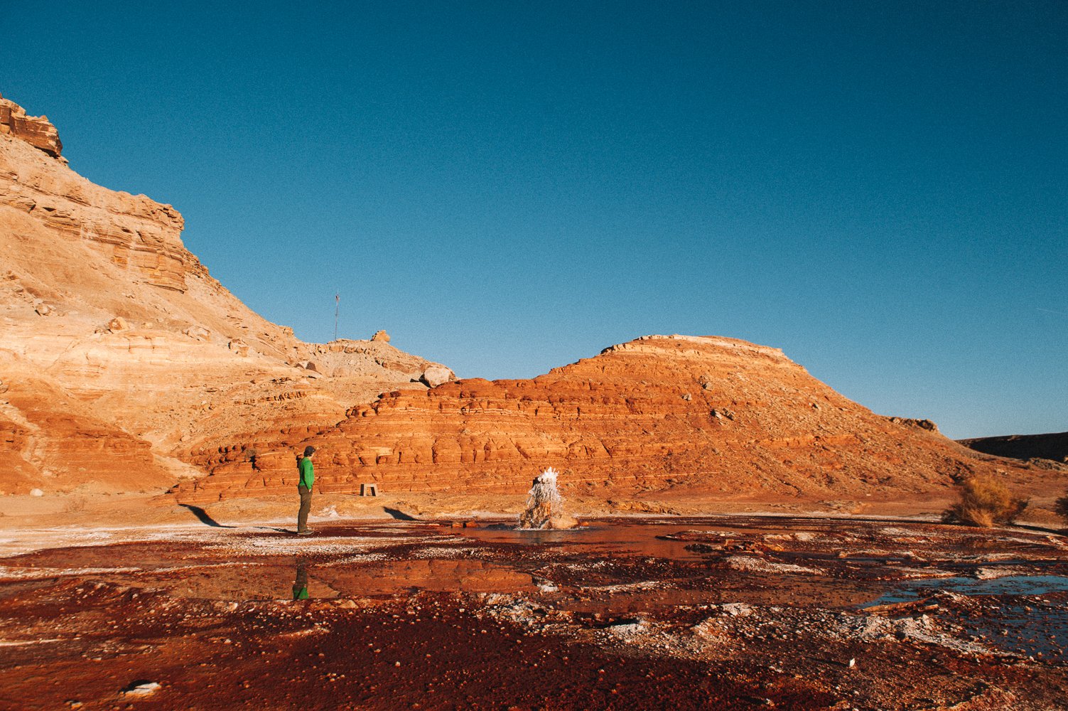
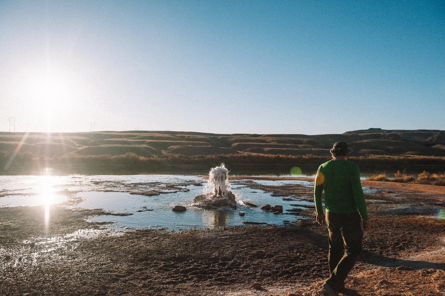
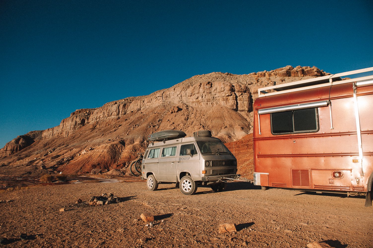
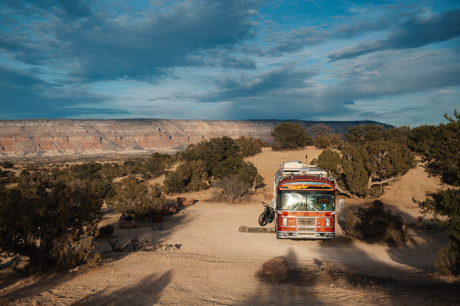
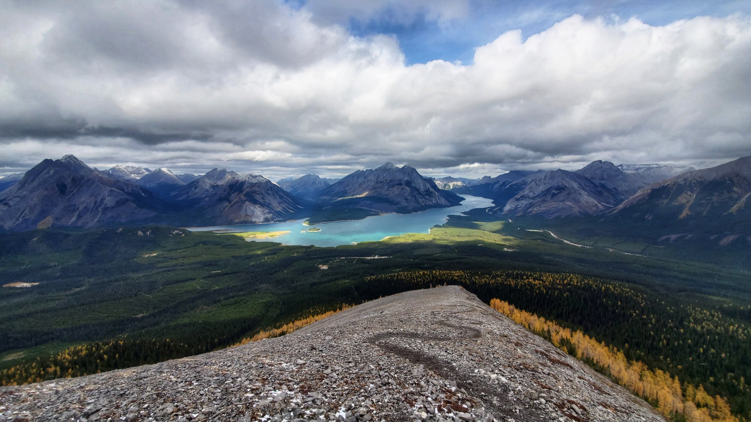
Also know that it is usually possible to camp in the Columbia Icefields parking lot for $15 AND to have cell service (a really good deal in that area). However, it was closed this year because of COVID. I won’t publicly share our all our camping spots, but will gladly share them with you if you write to me personally and are planning to go. If you are willing to drive a bit, there are tons of beautiful camping spots along Abraham Lake (but there is only cell signal at this spot toward the end of the lake, at the trailhead for Allstones Lake Trail, toward the town of Nordegg).

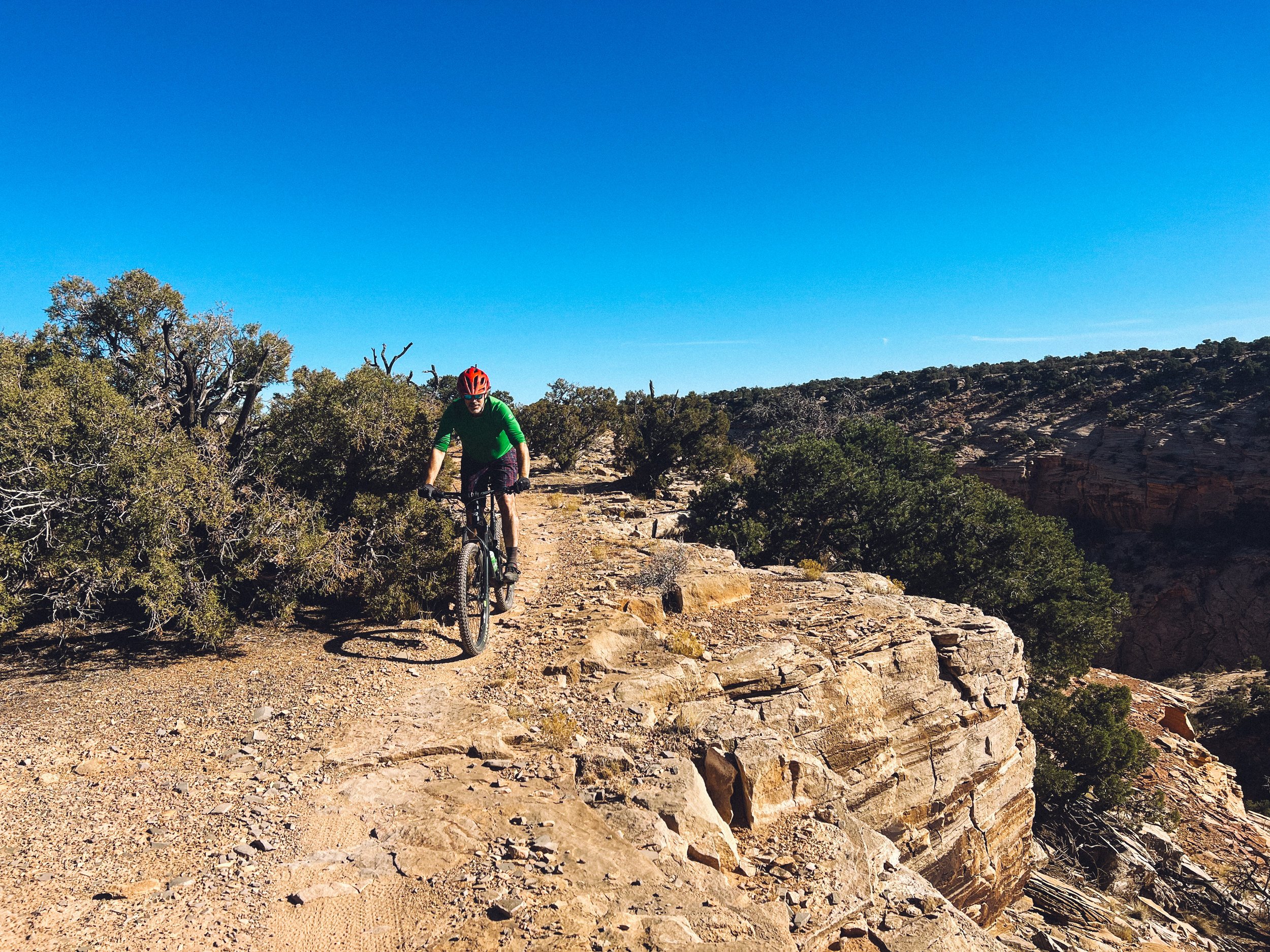
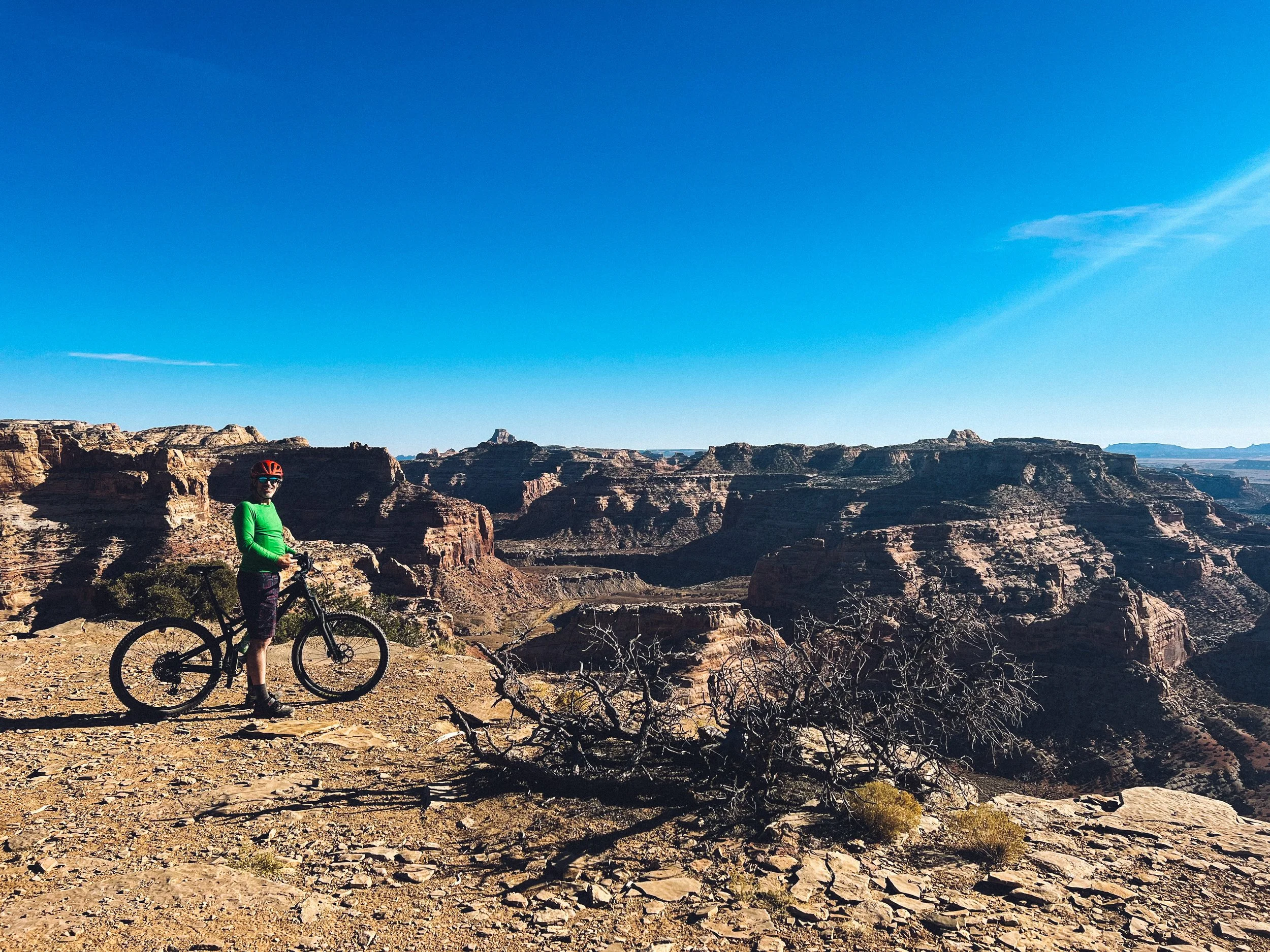
On our way back, we spent two nights in Golden at the beautiful Cedar Lake Rec site right on the Moonraker mountain bike trails. I highly recommend it!

From there, if you are heading toward Revelstoke to mountain bike, you can stop and hike the Hermit Trail.

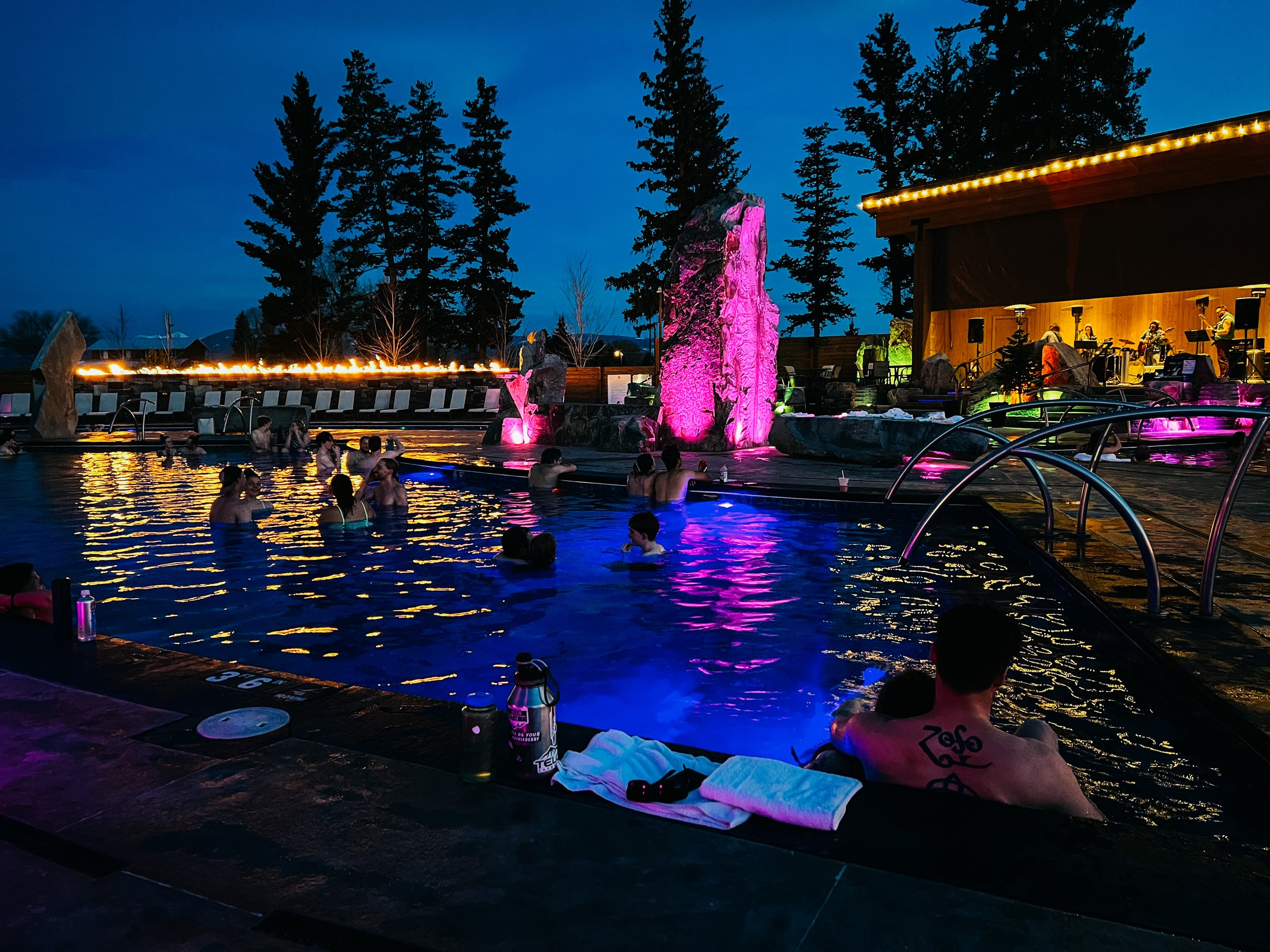
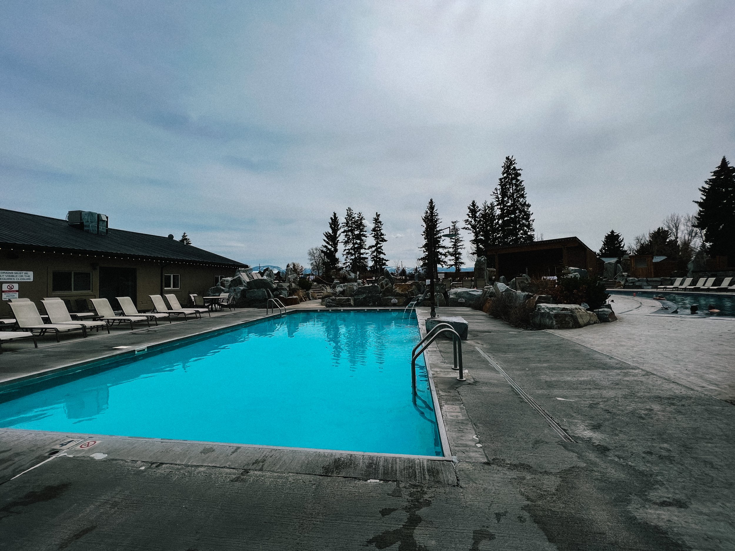
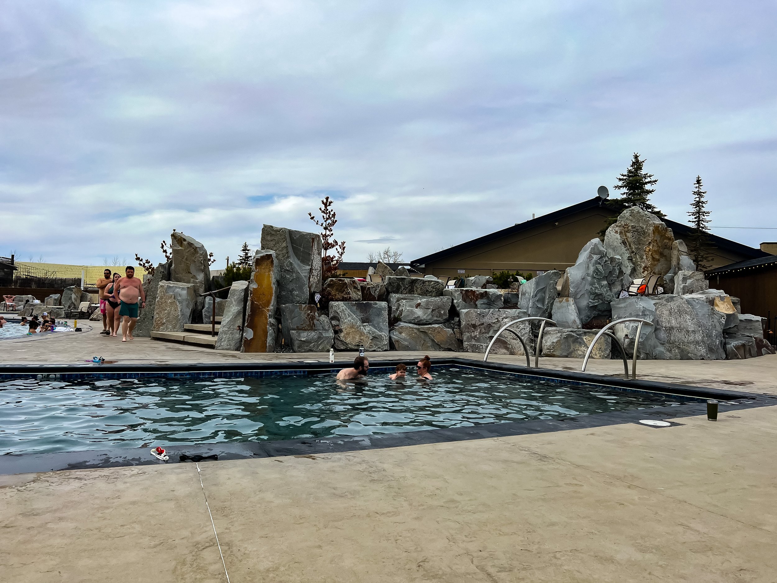
On our way down toward Rossland, we stopped in Radium for a quick evening soak in the Hot Springs and spent the night at Redstreak campground, 6 km away.

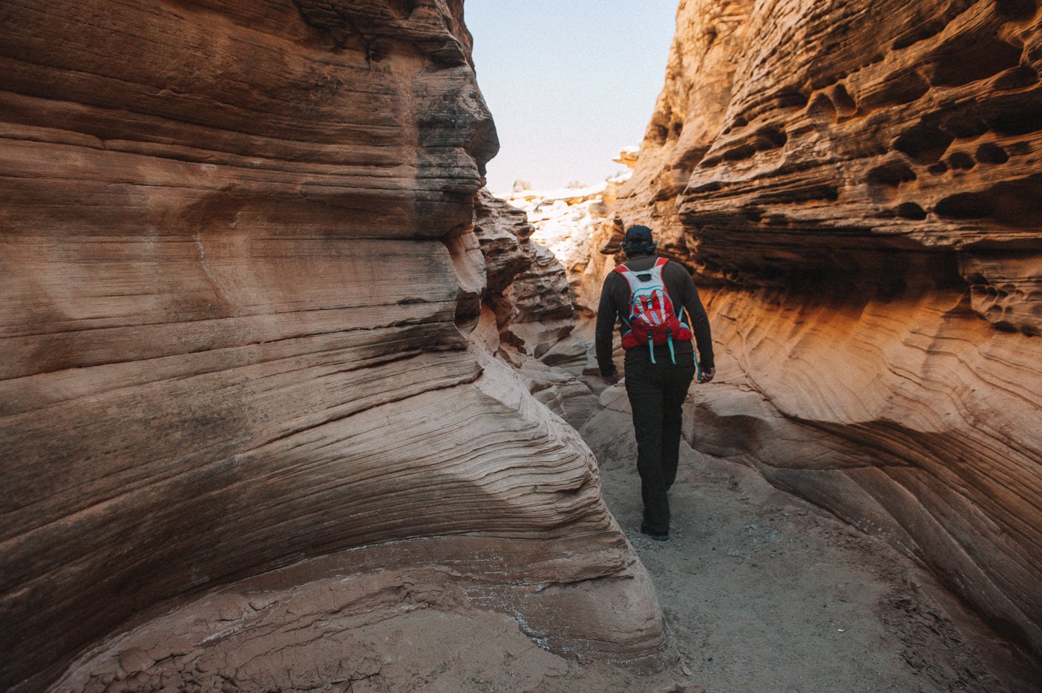
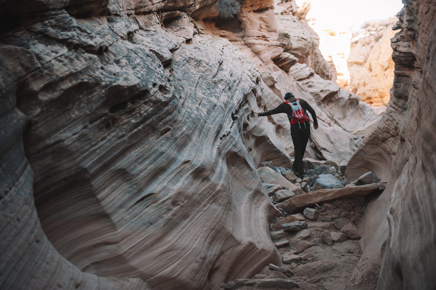
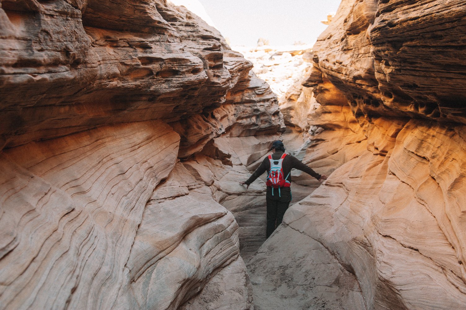
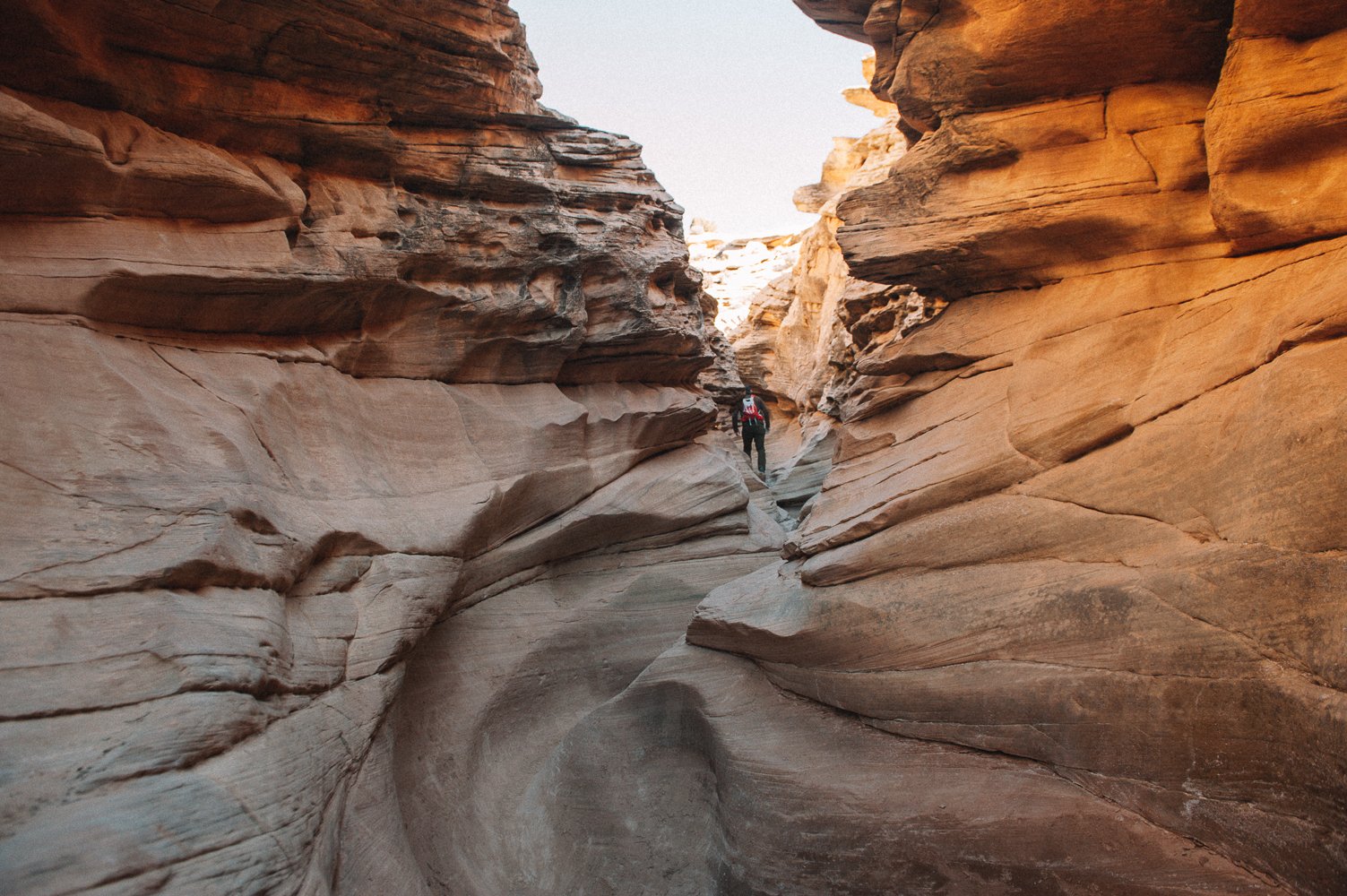
P.S. You will notice that I didn’t mention Johnston Canyon in my post. (but posted pictures of it). It is one of the most popular hikes in Banff and we were lucky that the road that leads to the trailhead was closed this time around because of COVID to limit the amount of people, so we biked 6 km in to get to the trailhead. Even with that caveat, we found the hike to be quite busy, so I cannot imagine how crazy it must be when the road is open!


Fifty shades of blue

 
Mathilde hiking along Water Sprite Lake

Mathilde hiking along Water Sprite Lake

Rohr Lake

Rohr Lake

IMG_7558.jpeg
IMG_7543.jpeg
IMG_7549.jpeg
Cheakamus Lake

Cheakamus Lake

Adjustments.jpeg
Cheakamus River

Cheakamus River

Blogging has become harder over the last few years. Sharing the name and location of the beautiful places we visit attracts more people to some already overused trails and boondocking spots or means we are revealing a friend’s lesser known spot… sharing my life and heart often infringes on my teens’ personal life and their stories are not mine to share anymore. Beautiful images are shared on Instagram as soon as they are captured and spur of the moments thought and bits and pieces are shared in stories. So what is left for the blog?

Maybe the blog can be a good place to step back and reflect every few months? I like that idea. 

The blog will be a more global portrait of our life, a reflection.

As you might know, we have spent the months of July and August in a house in Squamish while our bus was at our friends’ shop, getting a well-deserved facelift (esthetic and mechanical, but mostly incredibly practical - check the Our bus and Westy section for the photos!). It’s been interesting - and honestly quite easy - to fall back into a brick-and-mortar lifestyle, but Squamish is sooo awesome, it’s really easy to love, especially when you can escape every weekend (or after work!) to hike or bike to some of these incredible locations. We had a beautiful crystal clear river a 5 minute walk from our place (to rock-retrieving Stout’s greatest pleasure) and we could watch rock climbers on the big walls behind our house while sitting in our yard! We also witnessed many search and rescue helicopters coming back from there every weekend…. I understood a bit better how easy it is to underestimate some of the hikes/bikes/climbs in this area and become the next person to need a rescue. It seems to me that most everything here is “hard”. An “easy” hike requires you to climb (and down climb) a boulder field. It seems like everybody and their neighbours, their doctors and their mechanics is an athlete here. Which is great, but also a bit intimidating for the not-super-into-fitness-nature-lover that I am. I huffed and puffed my way up steep climbs and white knuckled my descent through giant slippery rocks, getting back to the Westy bruised and tired, but very proud and recharged. And I’ll keep at it because that’s where I love to be, even if it means being slow and stopping as often as a toddler through the rough parts. I’ve waited for my girls enough years that it’s their turn now! And they carry the lunch too! Onward and upward. Life with teens is the best, hormone galore, kitchen explosions and hair-clogged drains included (just kidding, that’s sooo gross).


The Great Confinement

 
_CFO4571.jpg
coquillages.jpg
My office-bedroom view for the last 6 weeks… with the fog horn blaring in the distance.

My office-bedroom view for the last 6 weeks… with the fog horn blaring in the distance.

If you follow us on Instagram, you know that there has been A LOT of baking in our life lately, now that we are connected to the grid while we shelter in place (and own a crappy toaster oven).

If you follow us on Instagram, you know that there has been A LOT of baking in our life lately, now that we are connected to the grid while we shelter in place (and own a crappy toaster oven).

Our beautiful green, lush and mossy backyard.

Our beautiful green, lush and mossy backyard.

duo Mahtilde.jpg
NAT_8283.jpg
duo 3.jpg

Historians have already said that this period in history will later be referred to as The Great Confinement.

You would have told me a few months ago that I would not leave our campground for over a month and it would have felt like a major hardship. But here we are. I’ve done it. Granted, there are beautiful trails around, the view from our site is wonderful and my amazing partner has been doing the necessary errands, but it still feels like an accomplishment that is very out of character for me. And yet, I feel good. 

Part of it is luck (and privilege, yes).

I could tell you how going through dark times of depression and debilitating anxiety has helped me prepare for tough times. How I know to check with myself daily to assess how I’m feeling, what my needs are and all this... But that would be (mostly) bullshit.

Right now, if I didn’t have a somewhat meaningful (paid) job to do, a wonderful partner and teenagers that are self-motivated and just all-around great to be around (and who were already doing all their classes online), I would very likely go batshit crazy.

But life has been very good. Quiet and peaceful for a change. And honestly, there is nothing like translating dog food bags to make you feel like the world keeps on turning (and yes, that is not exactly literary translation, but I really like my job).