Crystal Geyser


The Crystal Geyser is located just south of Green River, Utah, along the east bank of the Green River. The geyser as it appears today was created by an oil exploration well drilled in 1935. 

Crystal Geyser is different from most geysers like those in Yellowstone National Park since it is not created by geothermal activity but rather by carbon dioxide. 

The water that comes out of the hole is cool to the touch since there isn't any geothermal activity involved.

This geyser erupts due to the same process that causes soda pop to shoot out of the can when you hold your finger over the lid and shake it. Although technically not a true geyser, the cold-water eruptions look so much like hot-water geysers that they are referred to as “soda pop geysers”.

When the geyser erupts the water cascades down a terrace of colorful orange travertine limestone, that varies in hues of white to almost brown, and into the river. 

When it first formed, the geyser would shoot 80 feet into the air in 15-minute intervals and 150 feet into the air every nine hours. Over the years, however, the eruptions have decreased in height and frequency.

These days, the Crystal Geyser eruptions times are a little more unpredictable and only reach heights ranging anywhere from 2 to 10 feet, due to the blockage in the well. The reason why it’s erupting now after years of dormancy is believed to be the result of Utah’s historically cold winter in 2022.

We lucked out as the geyser was active as we pulled in at sunset.

The geyser is said to erupt at least once every day but there isn't a pattern or timeline to go by. Eruptions have lasted from a few minutes to 45+ minutes. 

You will likely question your choice of this campsite as you drive through the desolate, lunar like landscape on a washboard road. But at the end you find this nice area along the green river with a geyser. It’s really scenic among the red rock.

We were surprised to find 3 more rigs there on a Sunday night in November, but the fact that this type of geyser is very rare will make it enough to attract visitors.


The Wedge and Good Water Rim trail


The Wedge, also called The Little Grand Canyon, is located in Eastern Utah and despite its amazing beauty is relatively unknown. It is on BLM land, 20 miles east of Castle Dale and about three hours from Salt Lake City. 

It’s so special to camp (for free!) right on the rim of this spectacular canyon. We were afraid it was going to be crowded but there was almost no one there. The area is so large that we could not see any other campers from our spot. 

The Good Water Rim bike trail starts and ends here.
It’s a 21,5 mile loop.

This unique trail is a singletrack that parallels the contours of ‘The Wedge’ in the San Rafael Swell. If you do only choose to do a portion of the Good Water Rim Trail, I recommend to ride the west side where the views are more impressive.

The trail hugs the rim most of the way. The views are simply incredible.

Note that the wedge campgrounds are divided into two separate areas. Sites 1-7 fork left as you drive in (we picked site 7B which was huge). These sites generally do not have access to the stunning rim views that most people are after. 
Even though you are not really on the "Little Grand Canyon", Site 1 is gorgeous and remote. It's at the end of the road and has a nice view since it is "perched" on a little outcropping.

View from the East trailhead Overlook. We were completely alone for miles.

I’m sure it gets busier during the shoulder season when the weather is perfect, but I wouldn’t want to be here in the summer as there is no shade. It was pretty cold at night in November, but the days were perfect (for us northerners, at least) to hike and bike. Hey, there’s a reason it’s called the off-season and we had the place to ourselves!

Little Grand Canyon Overlook with the San Rafael River a the bottom.

What we discovered is that the most amazing sites right on the rim are directly AFTER site 9. These are not official BLM spots, but as long as you stay in the boundaries and camp on a designated site that has a fire ring, it is OK.

People with small children or pets might not want to camp on the ledge as there is obviously no fencing whatsoever.

One of the many amazing campsites along the canyon. If you sleepwalk, don’t camp here!

Many spots have been closed off and there is lots of cryptobiotic soil, so stay off and watch your step.

There is no water and no garbage cans, but there are very clean pit toilets at the trailheads and overlooks.

The dirt road is well graded all the way to the campsites. You won’t need a high clearance vehicle to get to them.

It’s pretty high (6,200 feet), so the nights are cold.


Mount Baker Wilderness, Washington


For years, we’ve looked at Mount Baker’s peak from Vancouver and thought: one day, we’ll make it there. I’m not sure why it took us so long since it’s not even an hour and a half from the border, but we sure are glad we finally did!

We had no idea that Mt. Baker is an active glacier covered volcano (with thirteen glaciers!). In 1975, steam emissions and fumarolic activity reminded the locals that this beautiful mountain could change their lives forever.

Picture Lake at sunrise with Mount Shuksan

There is no camping near the trailheads and signal is spotty at best (download the maps of the trails you are planning to hike - there are many side trails everywhere). There is some boondocking on Forest Service roads or camping at Silver Fir (no signal and popular - reserve ahead). Douglas Fir Campground is a bit far but is a beautiful spot worth checking (no signal and popular as well - reserve ahead).

We found a great boondocking spots on a Forest Service road nearby.

Another great boondocking spot up a rocky road

Getting an early start is key to beat the weekend crowd.

If you’re planning to go on the weekend, make sure to get to the trailhead early (like 8 am early). Buy the Northwest Forest pass online and print it at home (must be printed within 2 days of purchase - you can buy it at the Visitor Center in Glacier but that’s 40 min away) and on the premises if and when the Visitor Center is open (but it sounds unreliable).

Beautiful Mount Baker from Chain Lakes Trail

Instead of doing the whole Chain Lakes Loop, we took Chain Lakes Trail all the way to Hayes Lake and back to Artist Ridge and we checked out Ptarmigan Ridge for about 500 meters until it starts going down. It is one of the most rewarding hikes near Vancouver in terms of view vs effort.

Earlier in the season, the trail is full of wildflowers. At this time of year, you get blueberries and huckleberries. In a month, you will likely get snow.

Iceberg Lake

Some people do Chain Lakes Loop as a day hike and some spend the night at Mazama Lake or Hayes Lake (camping near Iceberg Lake is not permitted). These two backcountry campgrounds are First Come First Serve, so getting an early start is advisable. It can get pretty crowded on the weekend (no platforms). You don’t need an extra permit (just the same Northwest Pass to park your vehicle at the trailhead).

Mazama Lake

Hikes worth checking:
-Chain Lakes Loop
-Lake Ann
-Ptarmigan Ridge Trail
-Yellow Aster Butte
-Table Mountain

The total cost for this awesome weekend (other than the gas to get there): $5 (that’s the price of the Northwest Forest pass for a day - $30 for a year).
That’s a steal!


Hiking Ruby Mountain and Monarch Trail, Atlin, BC


Atlin, BC, is a small gold rush town that is only accessible through the Yukon. It’s a 2-hour drive from Whitehorse. 

Atlin Lake and the surrounding mountains are stunning and the historic gold rush village complete its charm. I’m not sure why we waited 15 years to come back here, but we are are glad we came on this perfect weekend.

We did two different hikes. The first one (and our favourite) was Ruby Mountain in the Atlin Volcanic Field. You have to drive about 30 min from town to get to the trailhead. If you have a high clearance 4x4 vehicle, you can even drive the first part that is on a mining road (all the info for directions and route finding are well explained here. Make sure to screenshot everything since there is no cell signal in Atlin). The hike starts already in the alpine and there are very few trail markers, so you’ll find having this info on hand useful as you ascend. It’s a short hike to a stunning 360 view with mountains all around as far as the eye can see. We were alone the whole time and even saw Dall sheep! That hike is easily in our top 5.

The trail starts here if you can drive up the mining road (high clearance 4 x 4 needed)

The Summit

The second day, we did the classic Monarch Trail. The trailhead is only 1 km from the Pine Creek campground. As soon as you start climbing, you get open views of the Atlin Lake and surrounding peaks. You can decide to turn around after about 1.5 km at the second bench before the climb in the forest begins or decide to plow through that steep section without view to get into the alpine for the last 700 meters. The view is beautiful but not as different as you go up. You’ll find the driving directions and trail info here (please note that the name of the road where the trailhead is located is Warm Bay Road NOT Warm Spring Road as indicated).

The camping options are pretty limited, especially with a big bus, but we lucked out on one of of the few sites that are big enough at Pine Creek campground.

There are beautiful walk-in sites in the lower section of the Pine Creek campground.

Note that there is no cell signal anywhere in town. There are limited groceries, but you can get some good BC beer at the Trading Post.

For those who do not follow us on Instagram, Stout passed away on August 2nd. He had a Valley Fever relapsed and even with the medication, his body gave up the fight and he died peacefully in his sleep in the bus. He was six years old. We miss him dearly every day.


Mountain biking in Northern Georgia

 
Super fun trails at Blankets Creek. Fun fact: trail direction changes daily in Georgia!

Super fun trails at Blankets Creek. Fun fact: trail direction changes daily in Georgia!

That red clay is gorgeous and fun to ride… when dry!

That red clay is gorgeous and fun to ride… when dry!

So many giant berms here!

So many giant berms here!

Beautiful campground on Lake Allatoona (McKinney Campground).

Beautiful campground on Lake Allatoona (McKinney Campground).

With our own private beach!

With our own private beach!

Paynes Creek trails (during the Payne Cave 6 hour race).

Paynes Creek trails (during the Payne Cave 6 hour race).

Our beautiful campsite at Paynes Creek Campground (and our 3 medalists).

Our beautiful campsite at Paynes Creek Campground (and our 3 medalists).

Even if Georgia is not yet a mountain biking destination, we were quite surprised to find some really fun rides only a few hours from Atlanta.

Our favorite were the trails at Blankets Creek in Holly Creek - some of the top-rated in the Atlanta area. At most networks we visited, the direction of travel on the trail loops changes daily (kudos to the trail builders for making trails that are fun to ride in both directions). Hikers and trail runners have to travel in the opposite direction to bikes and foot traffic is meant to yield to bikes here. The trails were very well-marked with lots of emergency exits. The rating is easy, so a black here is much tamer than elsewhere. If you ride here, make sure to ride the Van Michael trail (huge berms and lots of flow) and don’t miss Quehl Holler, a short purpose-built gravity trail full of berms, wooden features and rollers! The Dwelling Loop is a good fast warm up, but is more a green than a blue trail.

The other sector not to miss are the Bull/Jake Mountain trails, near Dalhonega. With over 30+ miles of trails in this network, you can rack up more than 2000 feet of climbing through lush Georgia forests, an unforgettable experience that will take you hours. The Walmart in Dalhonega is a good base camp.

Allatoona Creek – Nearly 20 miles of trail, ranging from beginner to expert. Unfortunately, a big portion of the trails were closed for hunting season and we ended up having to ride the TurtleBack Loop (a very mellow green) for 5 km before being able to hit an interesting trail and it was getting late, so we didn’t get to ride the more interesting Mason’s Bridge and Bluff, Hocus Pocus and Voodoo.

The Pinhoti Trail is an epic mountain bike route that goes from Alabama west to the start of the Appalachian trail. All but one section is open to bikes, though currently about 40 miles of the 140 mile route are on paved roads.

Some sections can be ridden and some of those require a shuttle. Look up P1, P2 and P3.

The girls did a 6 hour race (3 hour for Mathilde who was doing it solo) at Paynes Creek Campground. The trails were fun (think fast, twisty flowy green), but not a destination IMO.

Also check out: 

Chicopee Woods Intermediate Loop (don’t miss the Flying Squirrel and Copperhead gap trails for a fun challenge)

Know of any other fun trail in Georgia that I miss? Leave it in the comments!


Ontario

 
_CFO1074_DxO.jpg
Cooking dinner in a rest stop is a great way to save money on campings on long drives. We stop in a (free) beautiful spot to stretch our legs and cook dinner and keep driving. After that, it doesn’t matter much where we spend the night.

Cooking dinner in a rest stop is a great way to save money on campings on long drives. We stop in a (free) beautiful spot to stretch our legs and cook dinner and keep driving. After that, it doesn’t matter much where we spend the night.

Beautiful stop along Lake Superior.

Beautiful stop along Lake Superior.

Exploring a beautiful free campsite just outside of Lake Superior Provincial Park

Exploring a beautiful free campsite just outside of Lake Superior Provincial Park

Look at that water!

Look at that water!

Very cool Cheetos powder lichen.

Very cool Cheetos powder lichen.

Eating dinner by Lake Superior

Eating dinner by Lake Superior

Mathilde at the Horseshoe Canada Cup

Mathilde at the Horseshoe Canada Cup

The start of the Cadet expert girls at Horseshoe. Mara got stuck at the very back…

The start of the Cadet expert girls at Horseshoe. Mara got stuck at the very back…

Aïsha at the Horseshoe Canada Cup

Aïsha at the Horseshoe Canada Cup

Mara at the Horseshoe Canada Cup

Mara at the Horseshoe Canada Cup

So, how do we deal with the heat when relying mostly on solar? Even with 750 Watts of panels, we can’t run the AC in the bus. We could pay for a 55$+ campsite, but we try to find public beaches where we can spend the day and sleep in free spots. We haven’t paid for a campsite since we left the Yukon. Actually, we very rarely pay for campsites anymore since it is so easy to find free camping spots, and since at this time of year you need to make reservations in advance to have a good campsite (and in our book, if you pay for a campsite, it better be a good one). 

When we cover a lot of ground like we are doing this summer, our go-to strategy is to stop during the day (and often for dinner) at beautiful spots along the way, stretch our legs, bike, swim, and keep driving afterwards. By then, it’s dark and it doesn’t matter much where we spend the night as long as it’s not too noisy. It allows us to save money (since we are spending a lot on gas during this time) and not worry about making reservations in advance.


In Canada, iOverlander is the best app to use to find free camping spots. Be aware that most users are in vans or 4 x 4 vehicles, so scout out the recommended spots in advance if there is no information about vehicle length in the comments to avoid bad surprises.


_CFO1304_DxO.jpg
_CFO1305_DxO.jpg

The XCO Mountain Biking National Championship was a bit of a bust. Aïsha crashed during her first preride and got a concussion, so there was no racing for her. She is still healing and focusing on the Western Summer Canada Games at the beginning of August. Mara felt strong and ready, but the crazy hot weather at 42 C with humidex was really rough for a Yukon kid. She battled hard, but crashed near the finish and lost 3 positions, finishing 14th over 21 strong girls. It was not the results she was hoping for and she was quite disappointed.

Mathilde is still too young to compete at National level, but took part in the Ontario Cup the next day. The weather was a bit cooler, but there was A LOT of traffic on the course. She’s still quite happy with her race.

The girls are now on Instagram and they will share their own race reviews (and lots more) there. Give them a follow if you want:
@aisha.roldan
@mathilde.roldan
@mara.roldan.mtb


Crested Butte, Fruita and Moab

CD2268CD-5818-4E5E-80C1-CD3181134594.jpeg

We were very excited to check out Crested Butte, but we knew it was rather late in the season… I had taken notes from Pedaladventure’s great post on that fun adventure town, but we ended up just exploring it on foot and Westfalia instead of riding the trails (already covered in snow).

6CCBC963-DECA-4438-9530-54F67C9A75AB.jpeg

We boondocked here a few nights, near Almont.

F6D720DC-996F-4824-8B56-96BEA5B7029D.jpeg

And woke up to this!

27B0E040-D580-403F-A415-5EF9F4175711.jpeg

It was beautiful… but a bit cold for camping.

Desperate for some good riding, we headed to Fruita where we had been in the Spring, but had only explored one sector (18 Road). This time, we checked them all and loved them (here’s another post by Pedaladventure on Fruita if you want more info).

Desperate for some good riding, we headed to Fruita where we had been in the Spring, but had only explored one sector (18 Road). This time, we checked them all and loved them (here’s another post by Pedaladventure on Fruita if you want more info).

C062432D-1935-43BC-9109-A7745A4A4966.jpeg

In Fruita, we rode some great trails in the Kokopelli trail system.

025E8C3A-F1D8-4122-A98F-1982D3FB8802.jpeg

Then, we went to explore the Rabbit Valley area, still technically in Fruita, but closer to the Utah border.

85DDD4B8-D450-470C-96B1-AD45BF77DAE1.jpeg

And rode this amazing trail all around the rim you see down there (called Western Rim).

A85F9FF2-5395-471E-9985-C04FE1CB7CDC.jpeg

It’s now in my top 3 trails.

CB0C152A-67C6-4B96-864B-1F9E1967E4F9.jpeg
3116ACF9-02DA-4E30-8C5B-06EC6B5A558A.jpeg
1E78D6E1-8416-4586-8AE0-0D8E0B41D6AC.jpeg
2C17648D-C8A1-4277-80A5-CD72D2EB200B.jpeg

You can see the Colorado River down there.

90A9905F-87F4-4F18-A205-717D5D9C14C4.jpeg

We also rode a few trails on 18 road (still Fruita) for Mathilde’s birthday (we love PBR, Joe’s Ridge and Mojo).

8AFC31CB-389F-40BA-A375-695DCFA9C452.jpeg
That’s Joe’s Ridge. Simply amazing.

That’s Joe’s Ridge. Simply amazing.

And of course, we went to Moab (I wrote so much about Moab, just do a search in the location bar and you’ll find plenty). We had a chance to connect with friends there since it is that time of year where many of us converge to this area. Photo by Ch…

And of course, we went to Moab (I wrote so much about Moab, just do a search in the location bar and you’ll find plenty). We had a chance to connect with friends there since it is that time of year where many of us converge to this area.
Photo by Ching from Live Small Ride Free

JF and Mathilde on Ramblin Photo by Ching from Live Small Ride Free

JF and Mathilde on Ramblin
Photo by Ching from Live Small Ride Free

Me on Chisholm Photo by Ching from Live Small Ride Free

Me on Chisholm
Photo by Ching from Live Small Ride Free

Mara on Big Mesa Photo by Ching from Live Small Ride Free

Mara on Big Mesa
Photo by Ching from Live Small Ride Free

Our group on Big Mesa. Photo by Ching from Live Small Ride Free

Our group on Big Mesa.
Photo by Ching from Live Small Ride Free

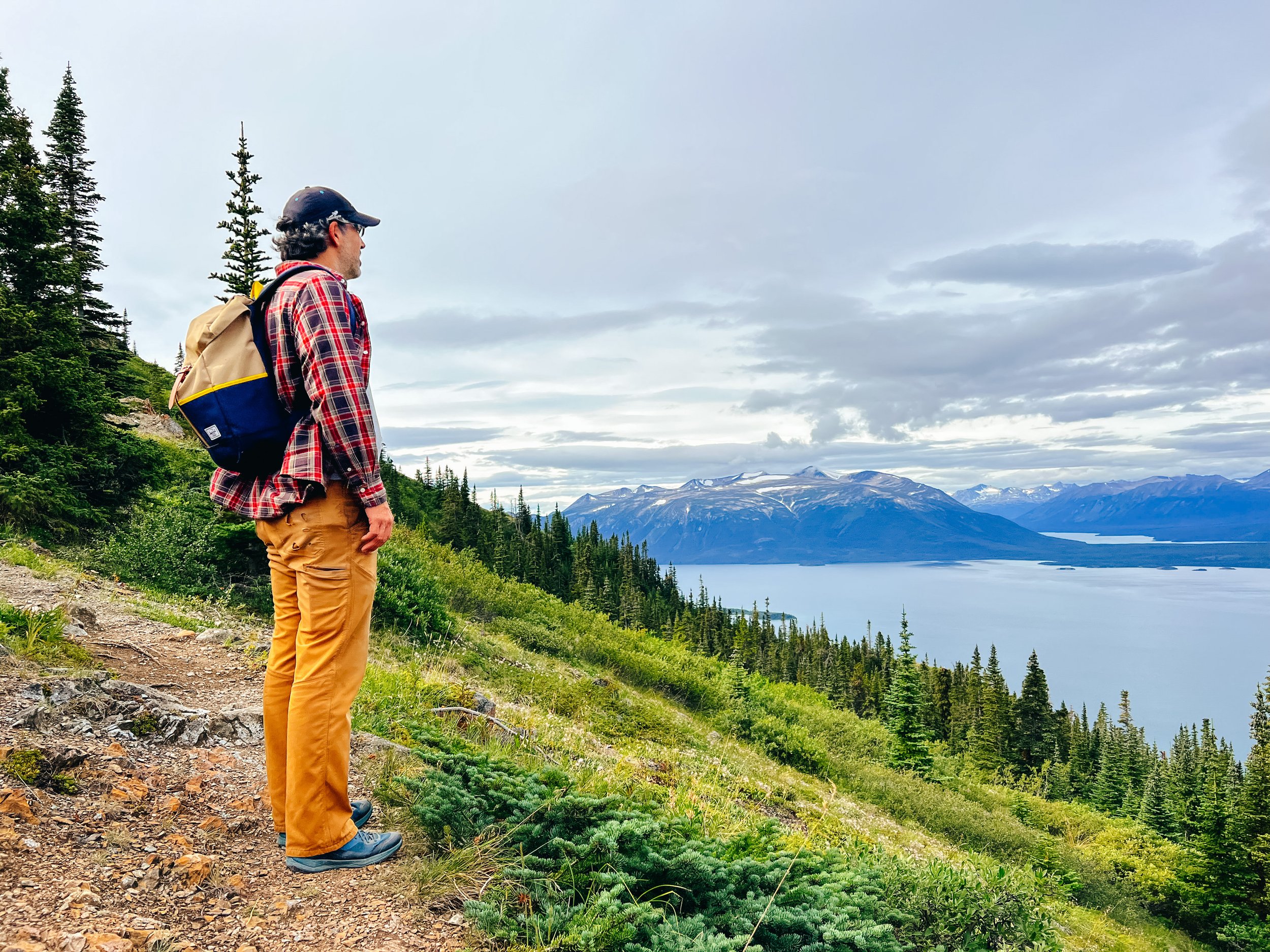
As I’ve shared here before, one of our girls wants to go to school, have external academic and biking motivation, deadlines, a schedule, to be graded… She is an organizer that thrives on structure. She makes lists, plans and wants to know what’s coming. Her Christmas gifts are ready weeks in advance.... You get the idea...

I was hoping that providing as much structure as possible with a Google calendar and online classes with clear external deadlines, timed tests and grades would satisfy her… But she says she’s done with life on the road. She wants stability. A totally normal desire. We knew it would very likely come, but still hoped it might not. Of course, it is out of the question to leave her with friends or family and keep travelling. It's not an option for us. We travel to have more time together.

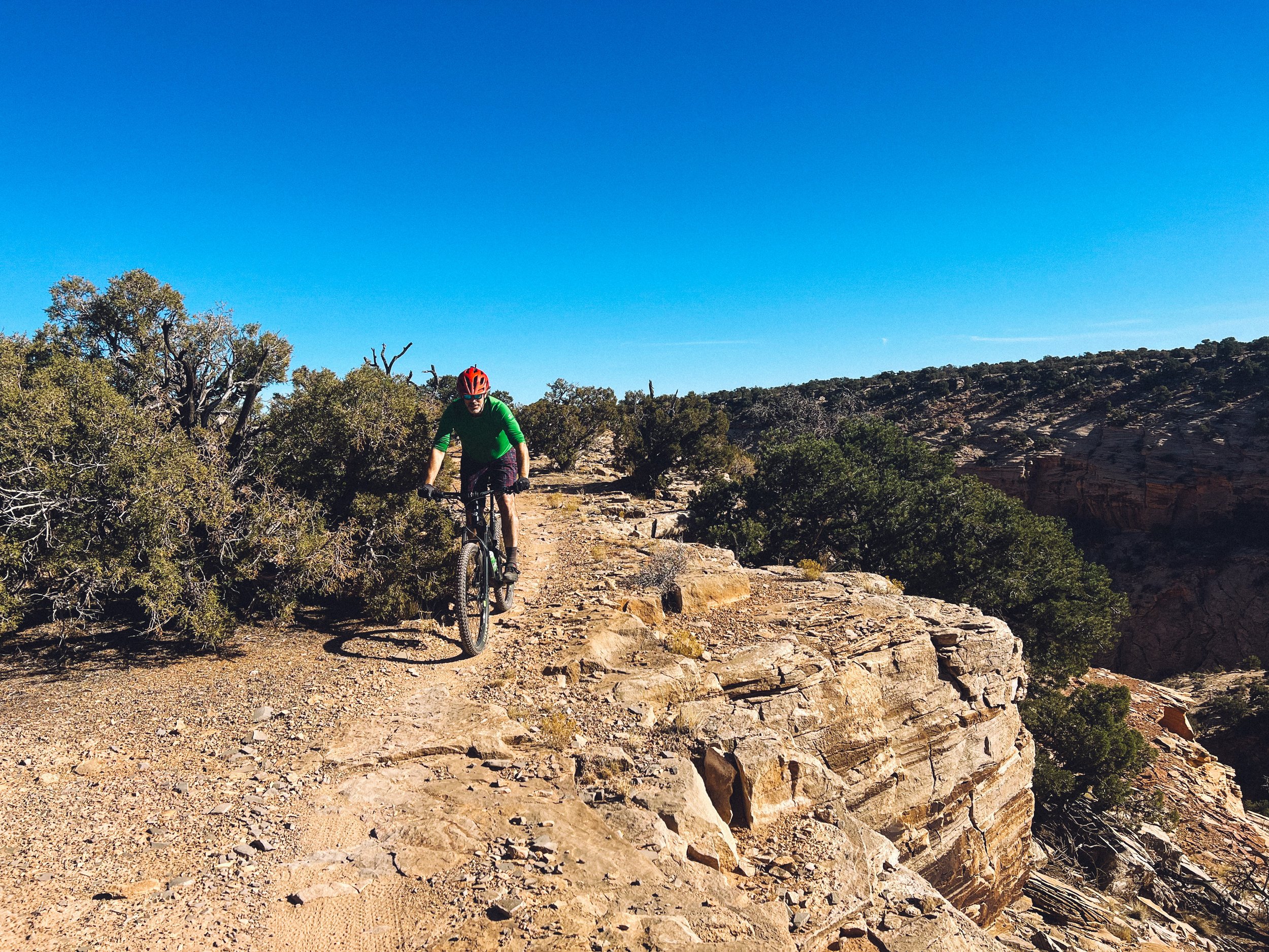
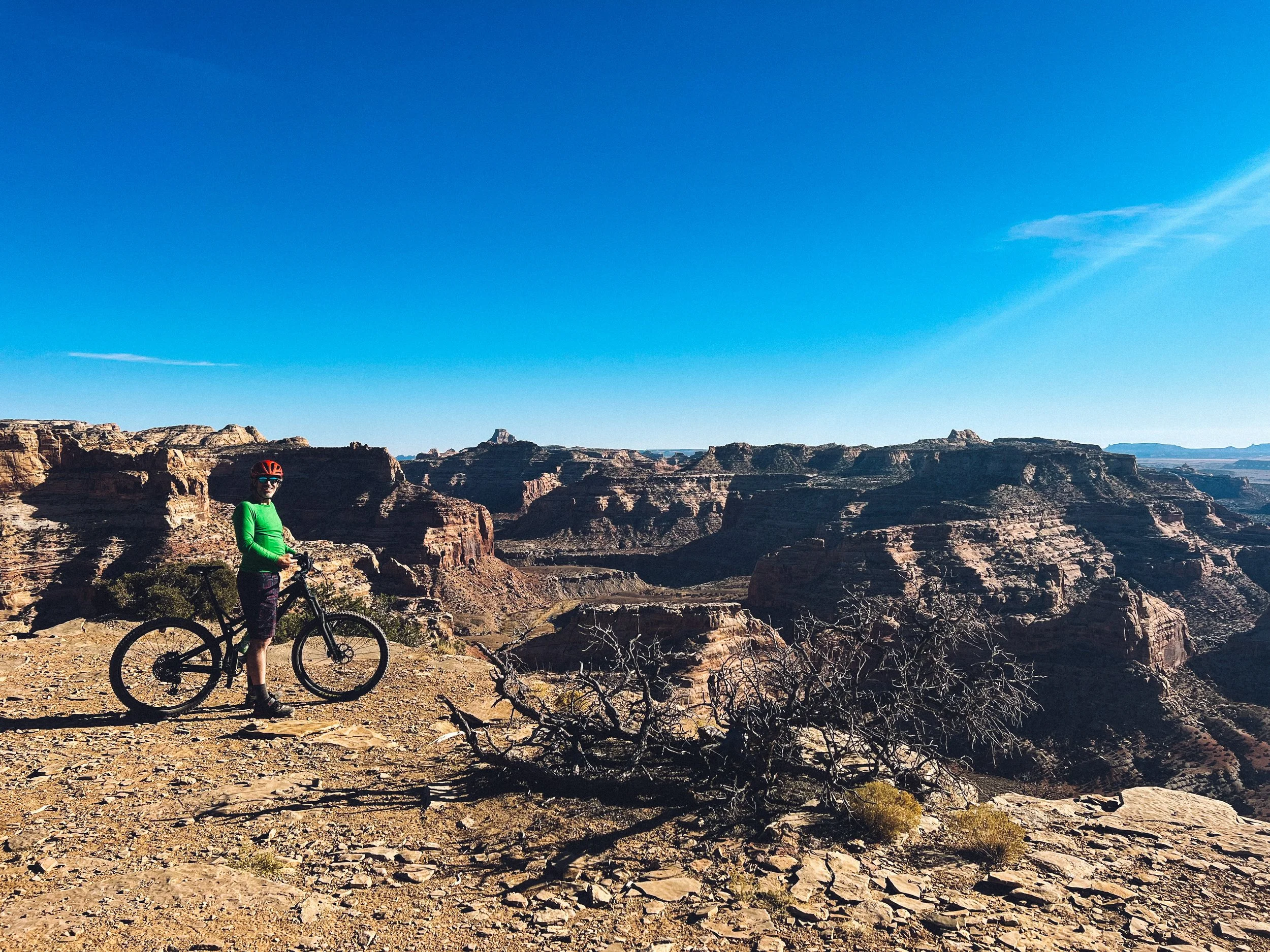
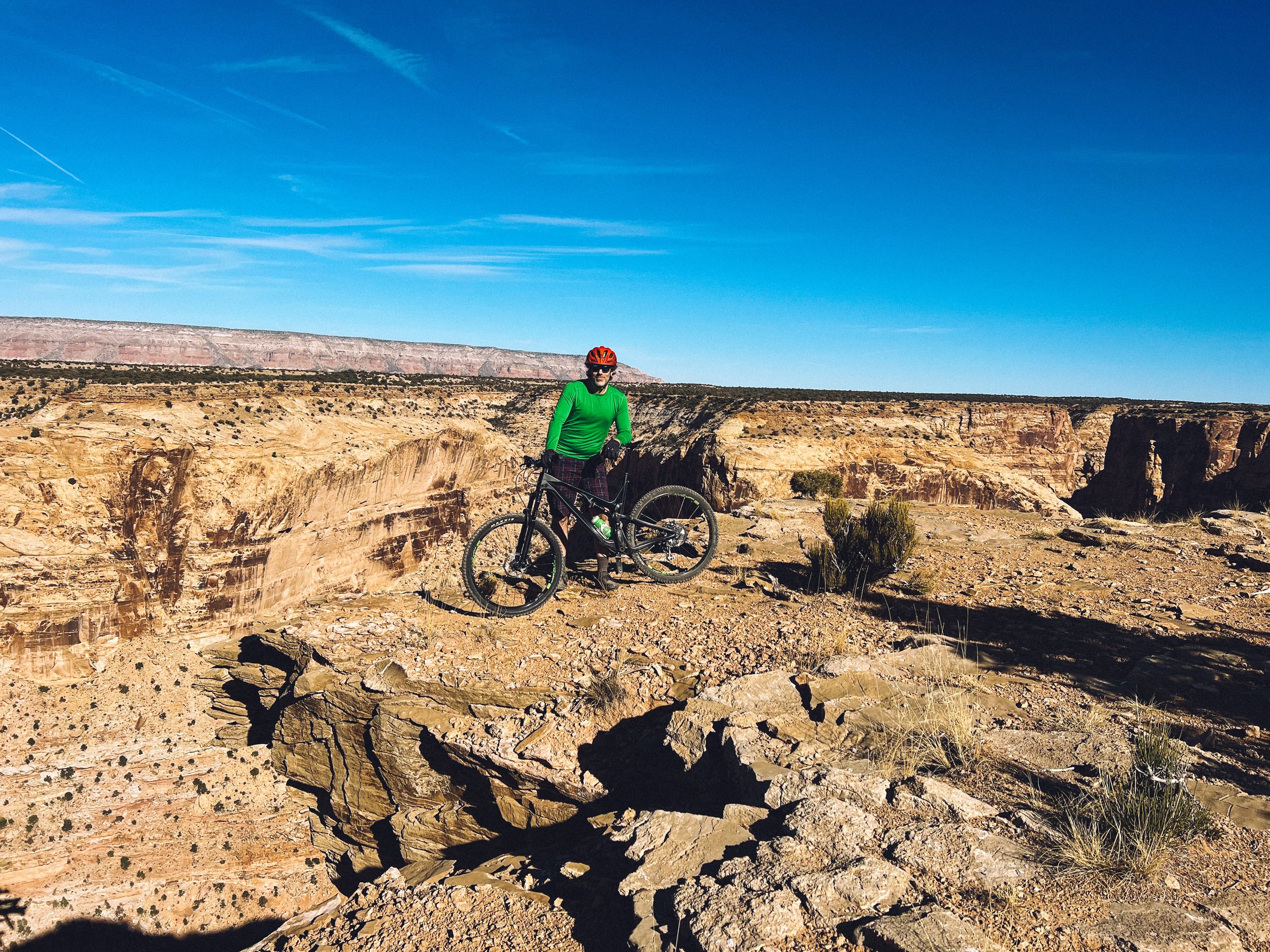
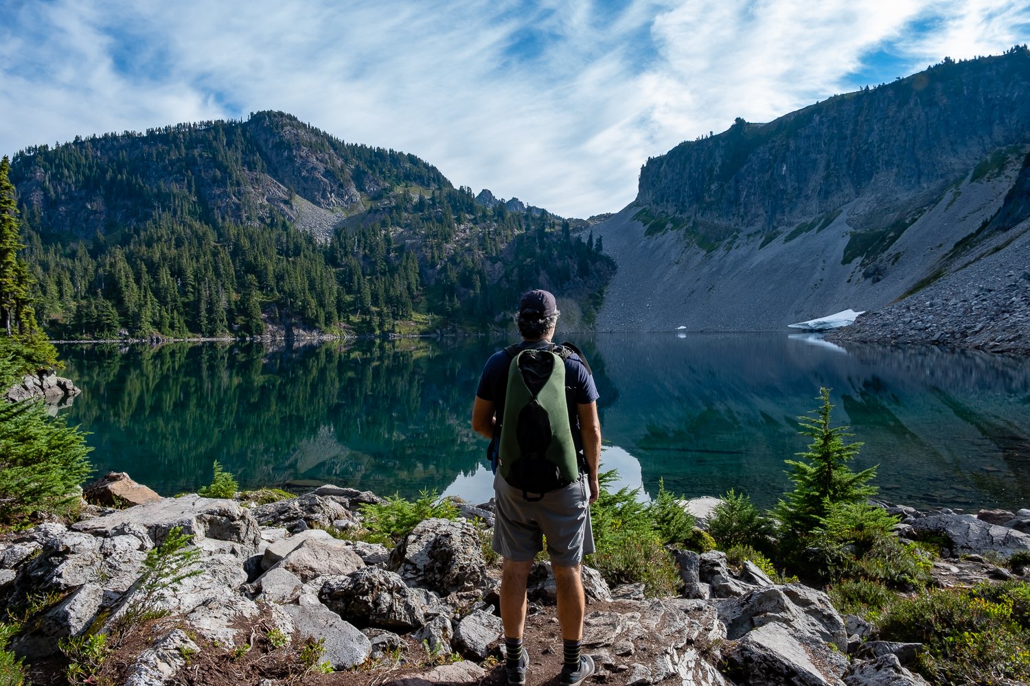
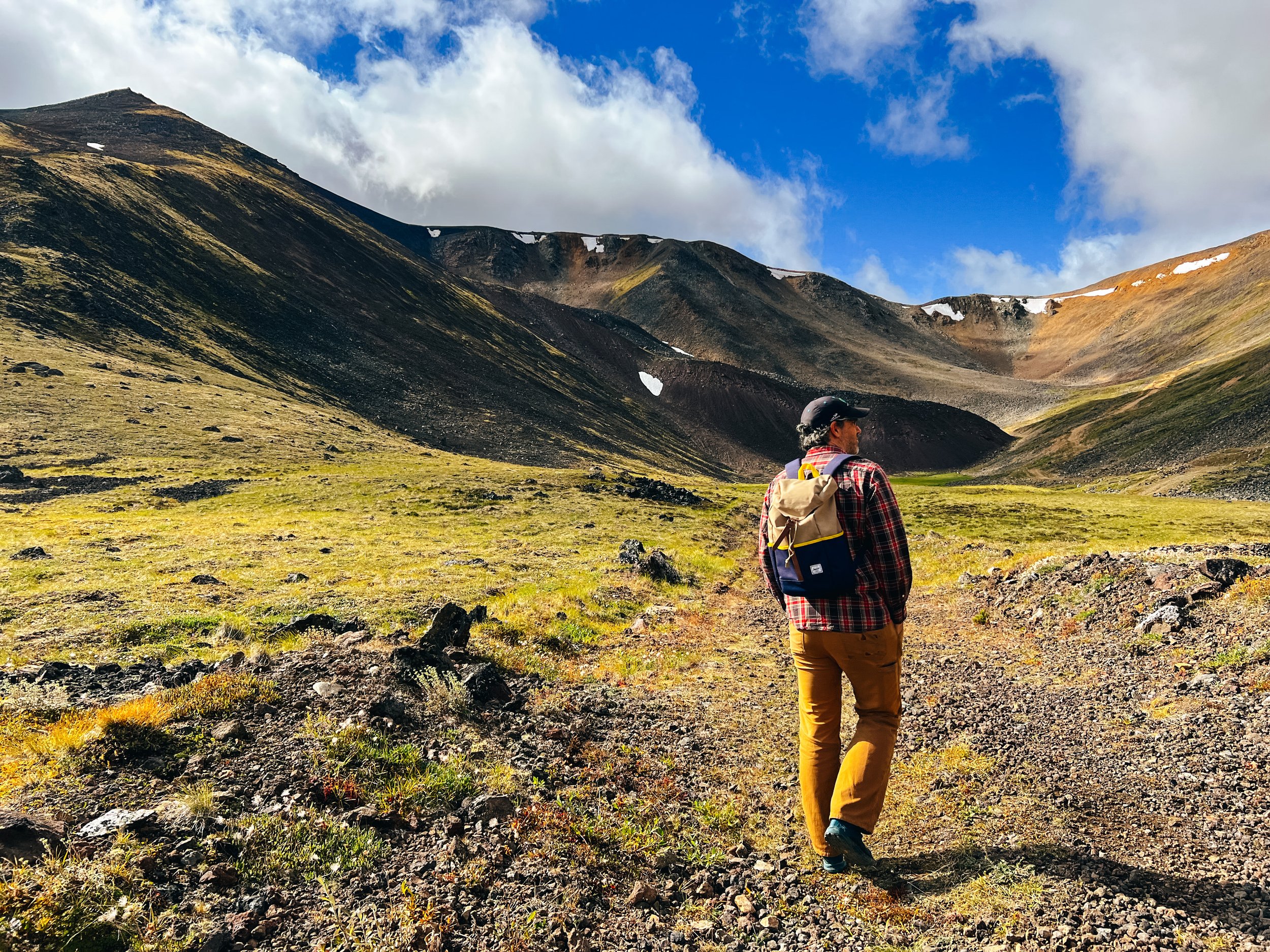
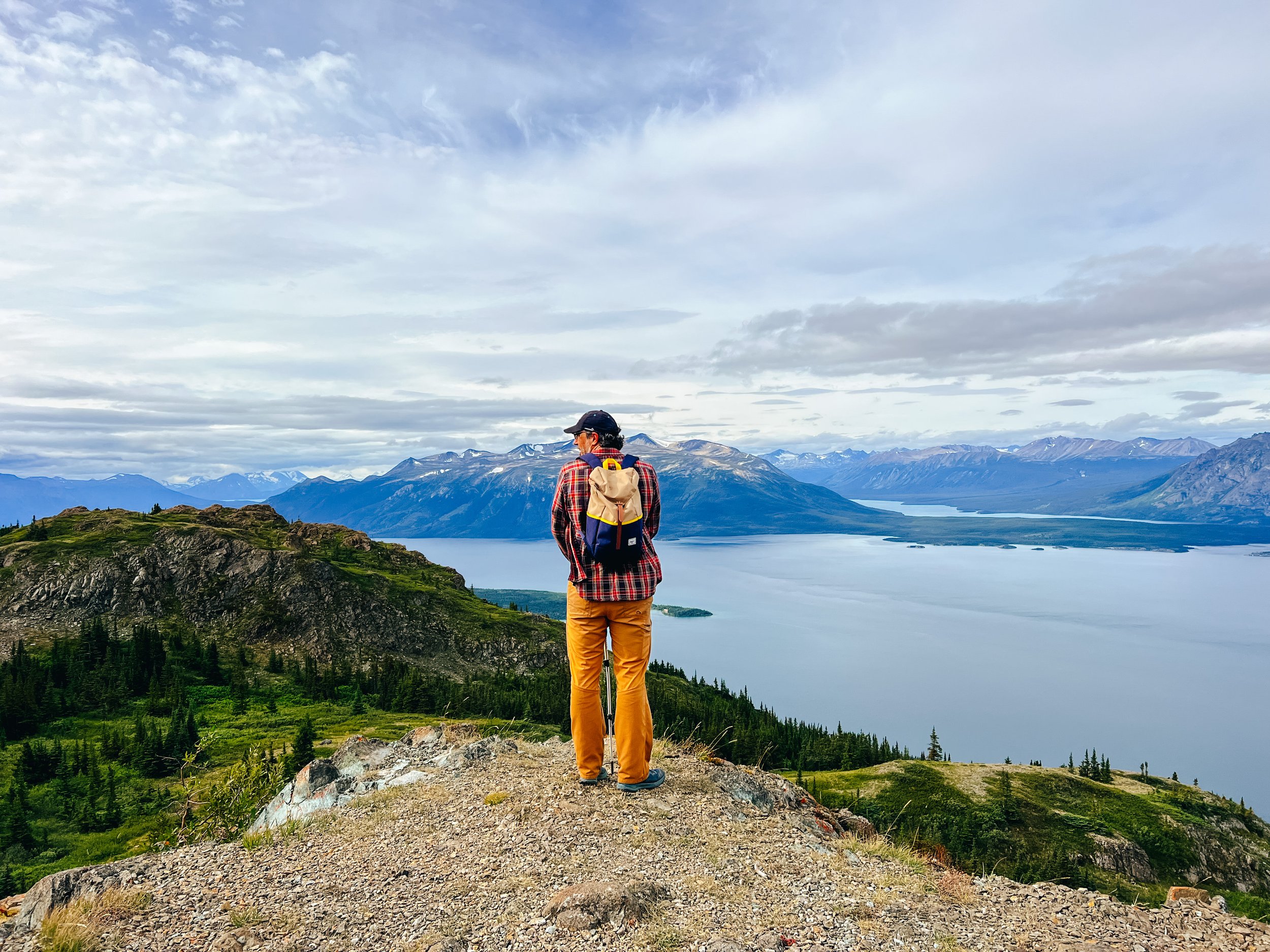
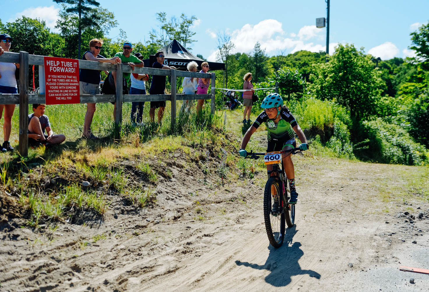
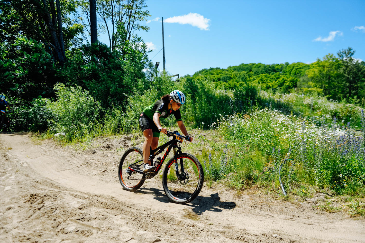
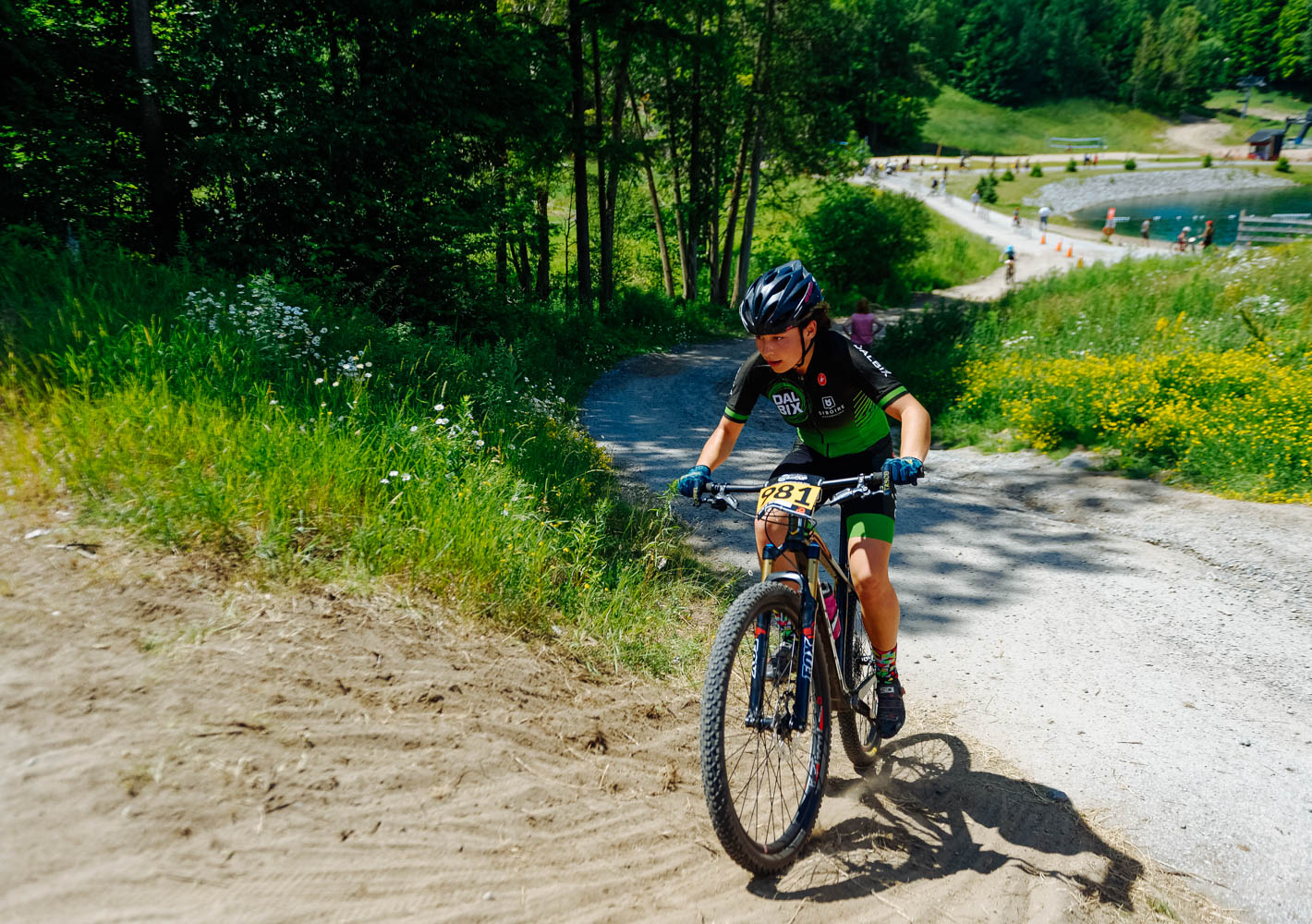
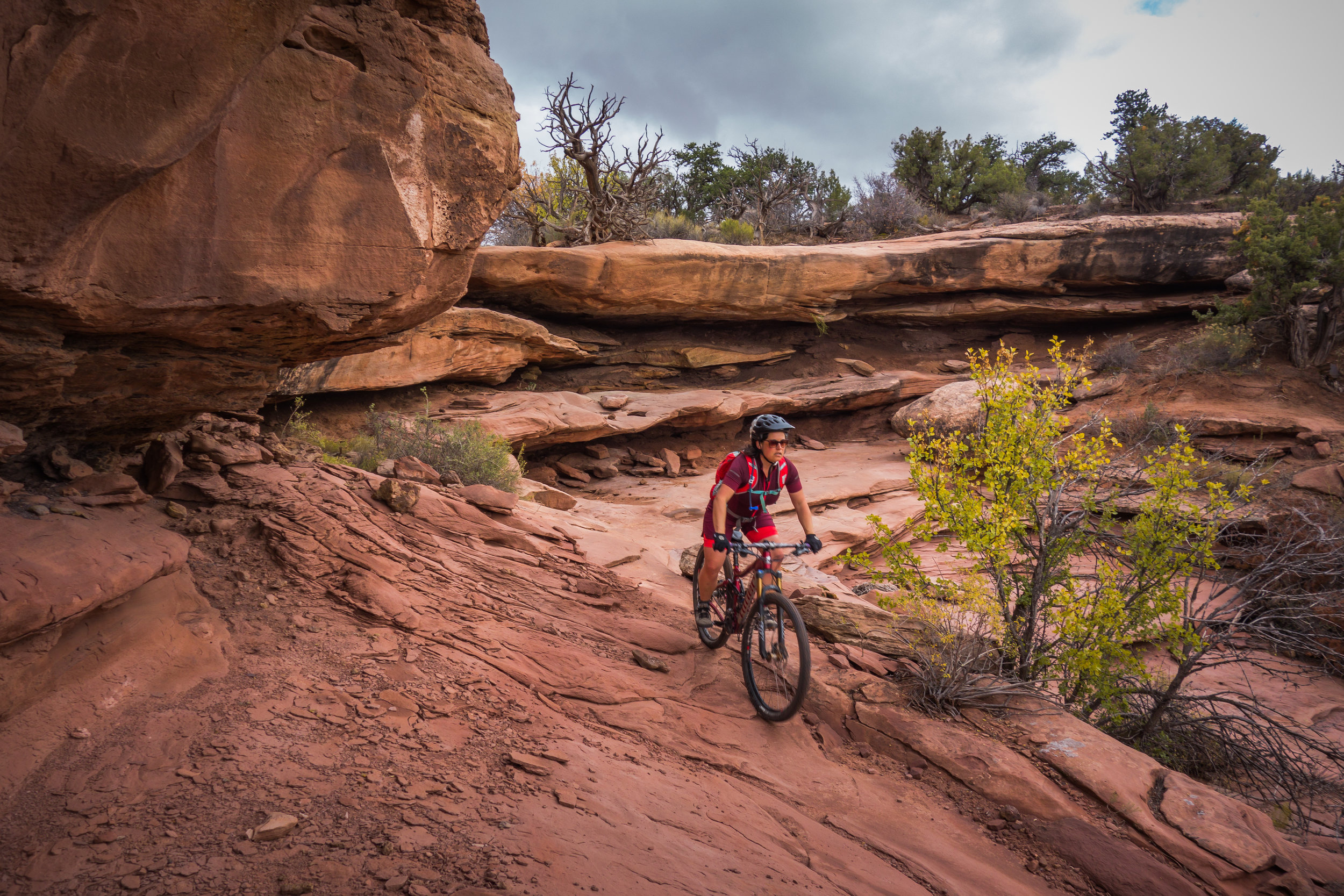
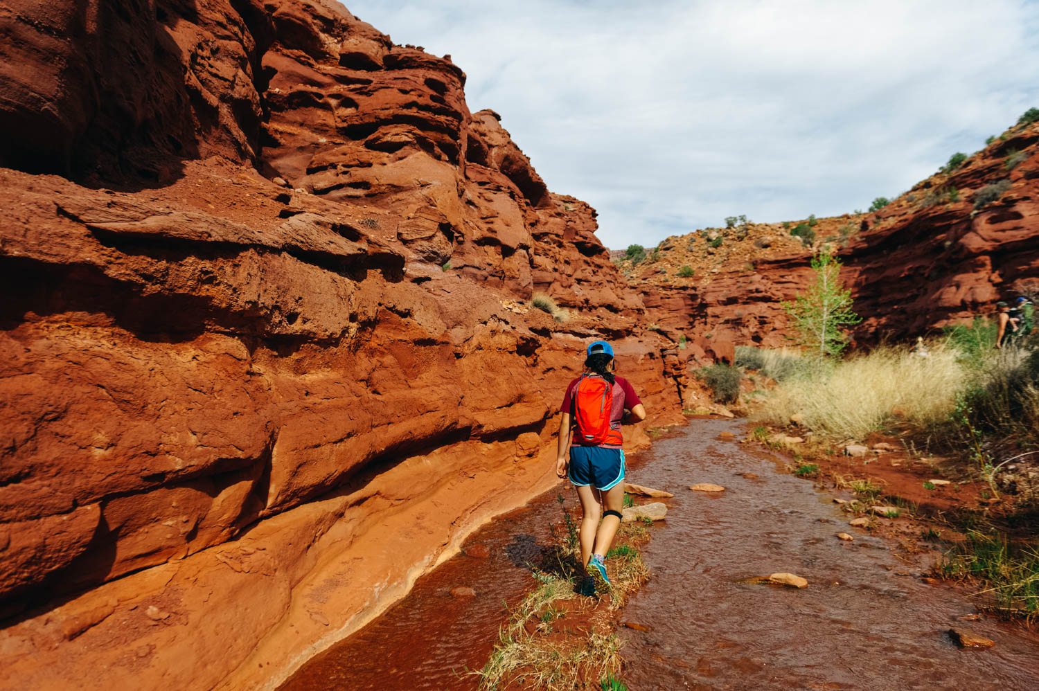
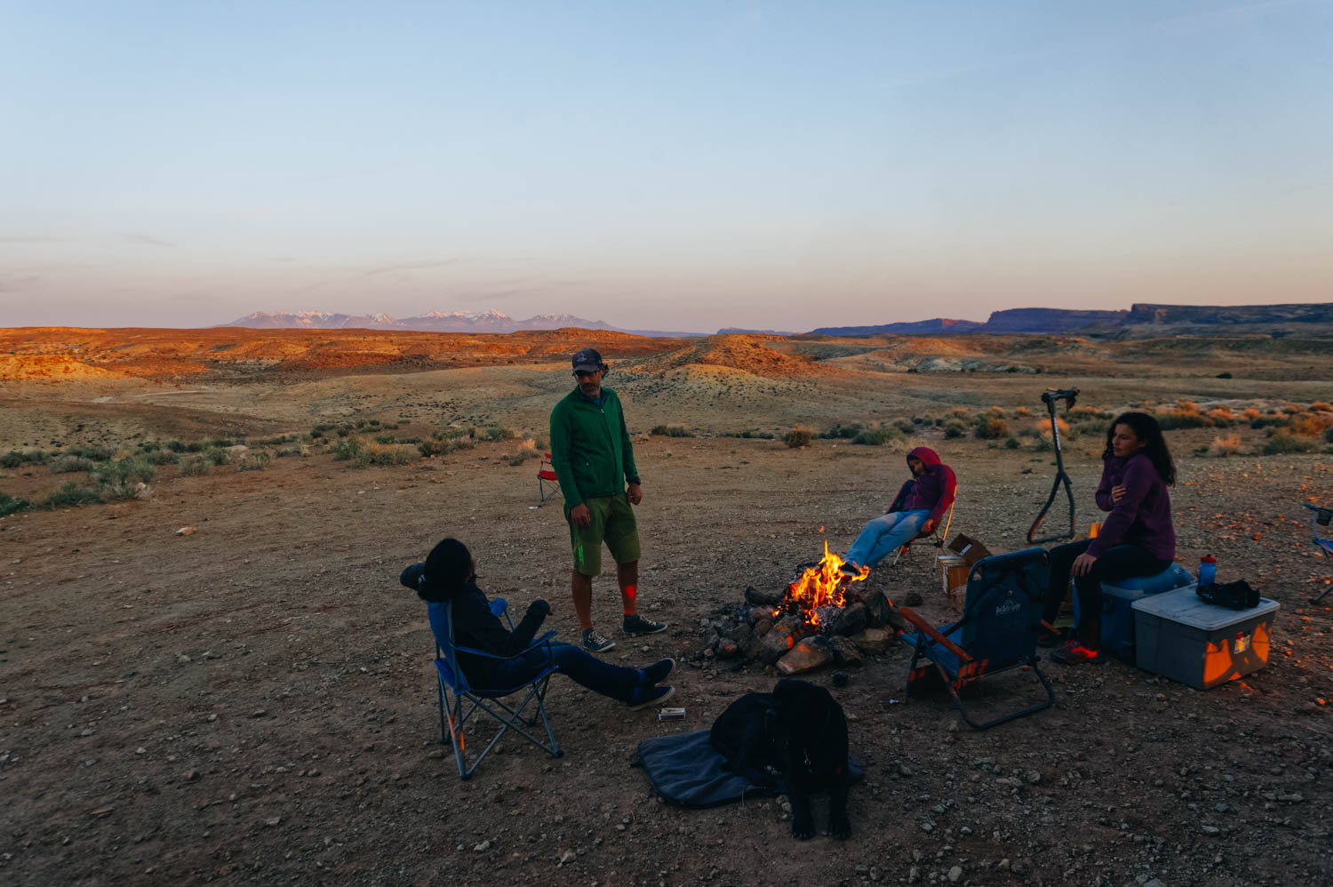
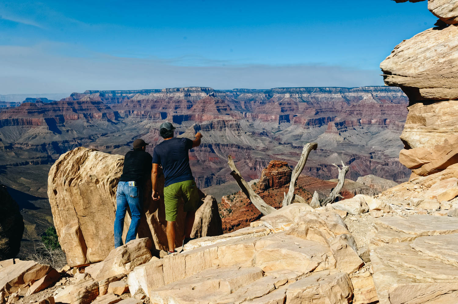
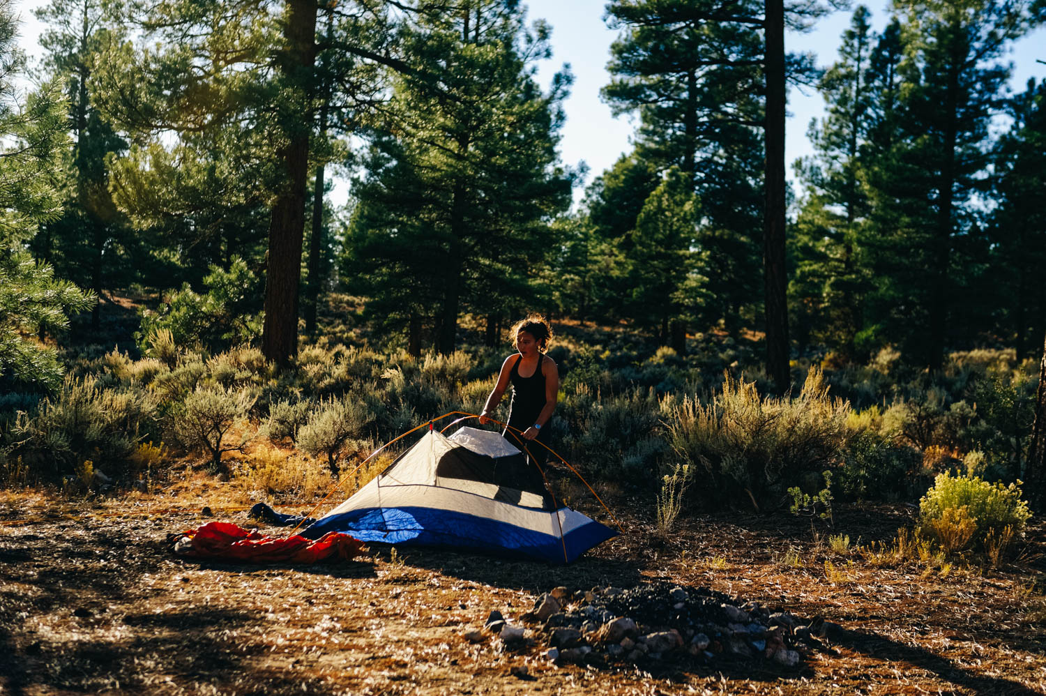
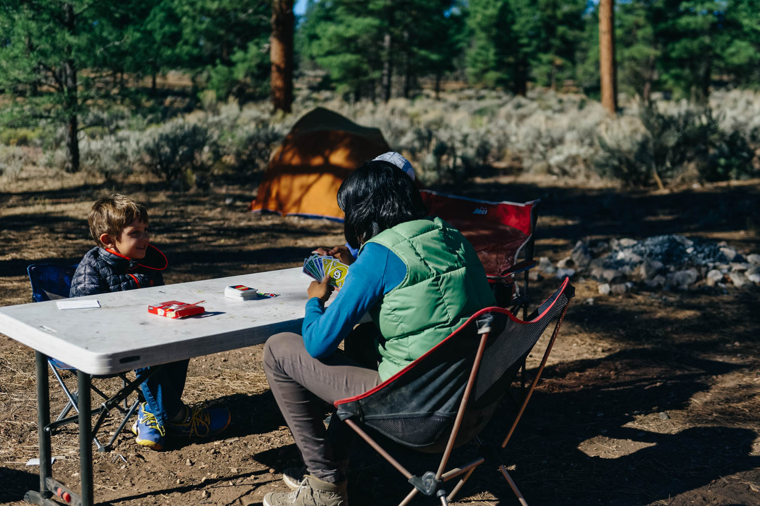
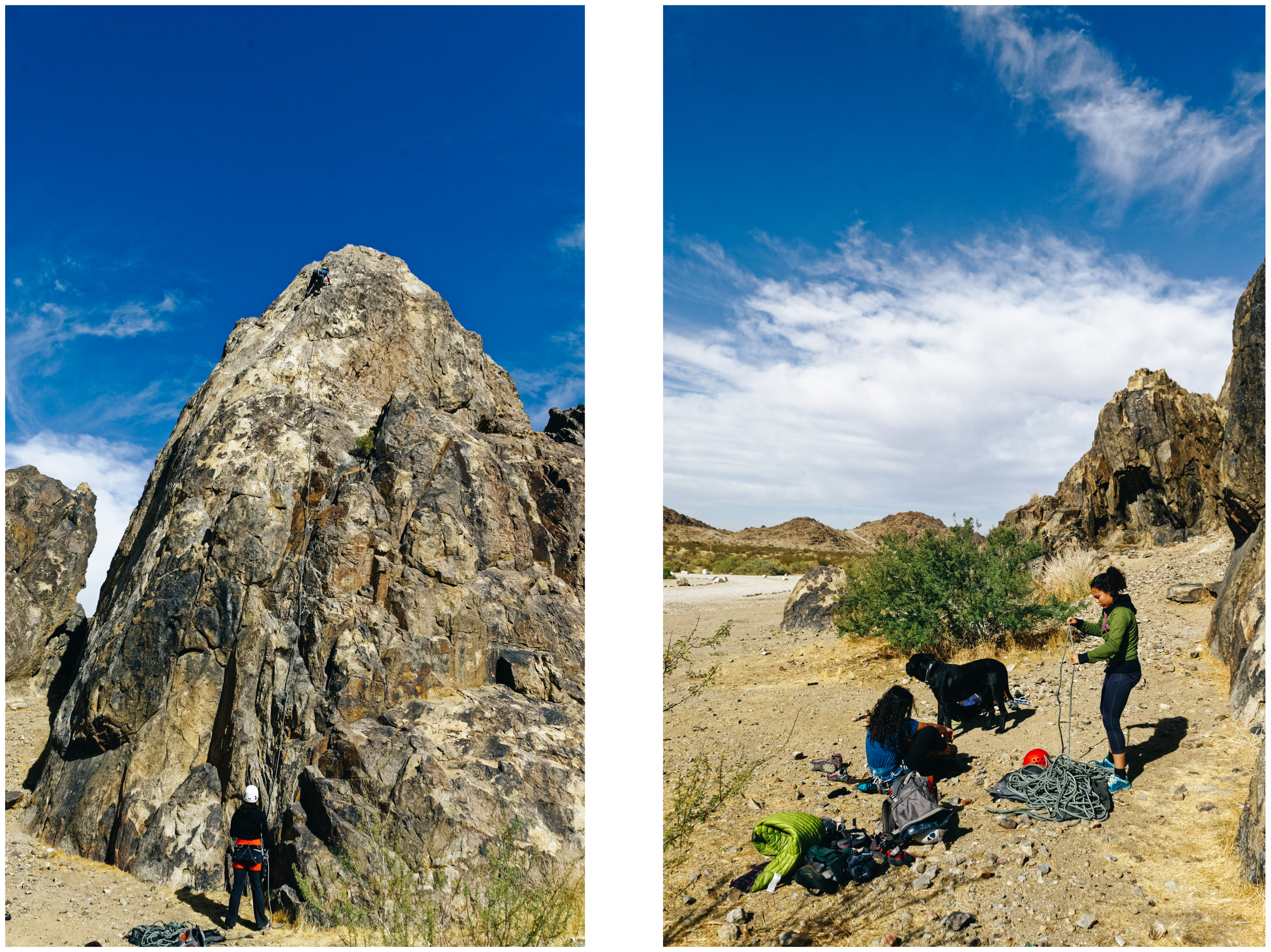
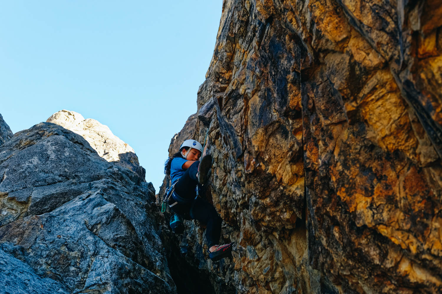
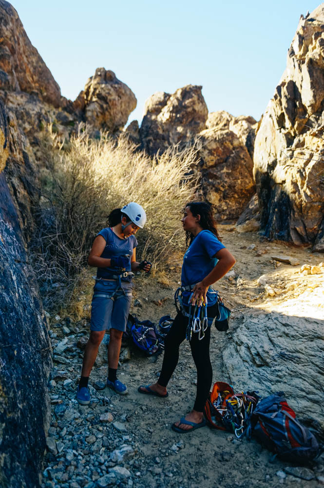
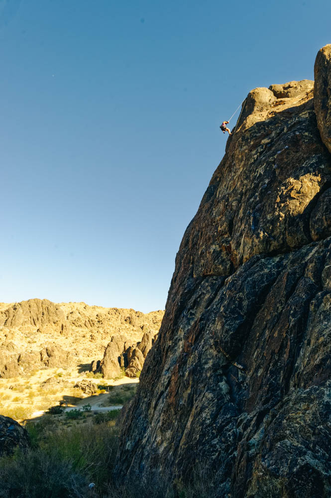
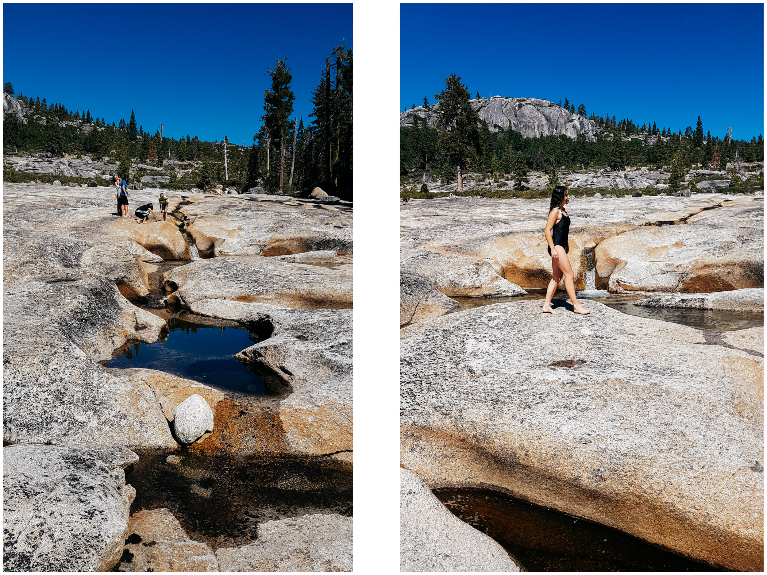
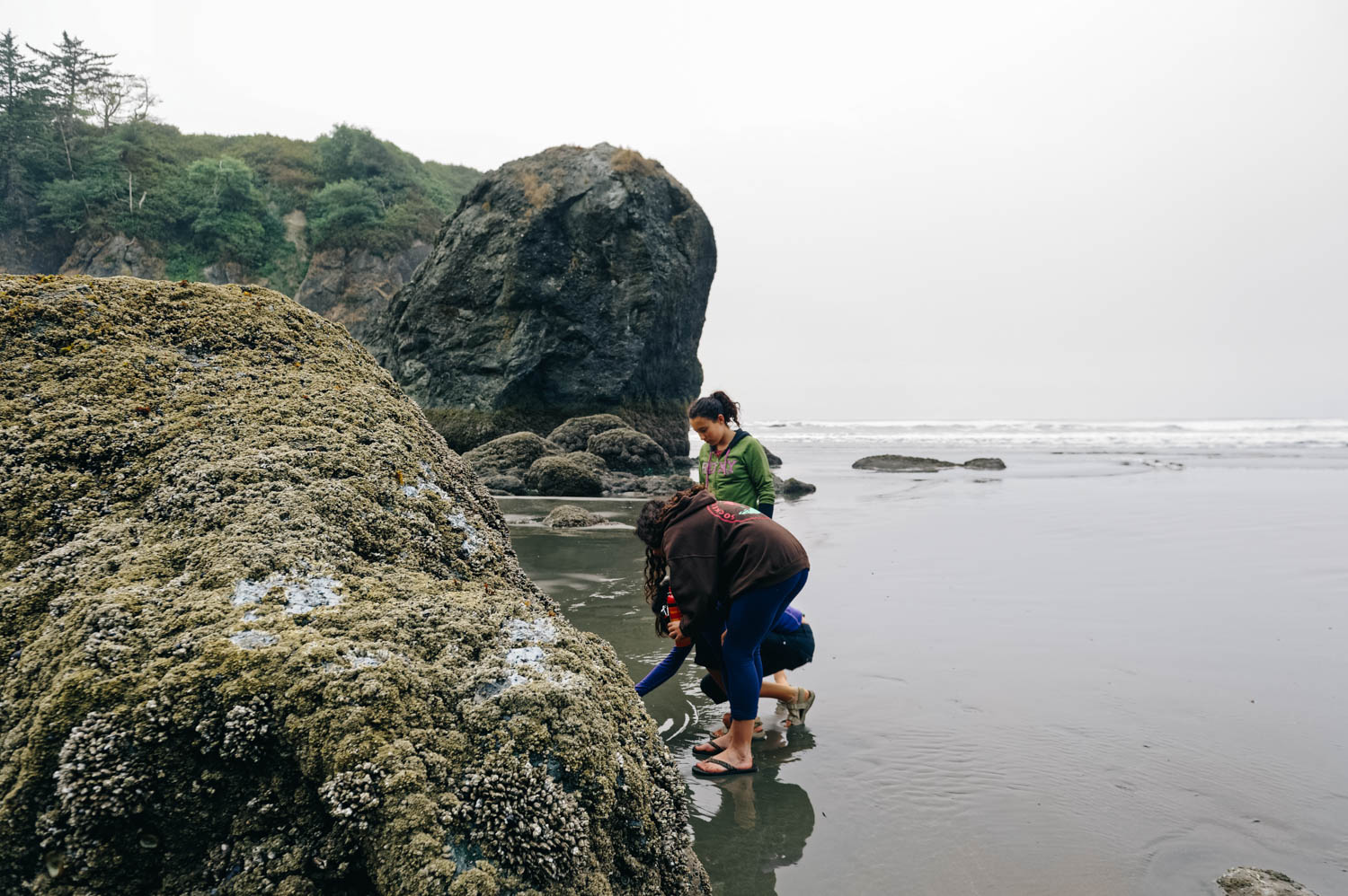
A few people have asked us why we would settle down if one child wants to settle down and another one wants to keep traveling. Why would we put more importance on the desire to settle down than on the one to keep on traveling? Is is because it is what is expected or more *normal*? Teenagers need a group of peers, need space from their parents, etc. Of course, their life on the road provides plenty of that with bike teams and races, tons of friends of all ages we meet along the road, lots of time alone either in the bus while the others are gone riding or time alone on rides, daily texting with friends, etc… but it’s not the same as being in one fixed location.

So, this is our work right now: finding out what is fear of not offering a normal teenagehood to our girls and what is sticking to our family values and the needs of the other members of the family?

Some might philosophically say that kids will be angry at their parents nonetheless, that they will turn out fine anyways, that we adapt to anything… and there is truth to that of course, but these are key years in one’s life and I don’t want to rob them of these important years. We have a huge decision on our hands...

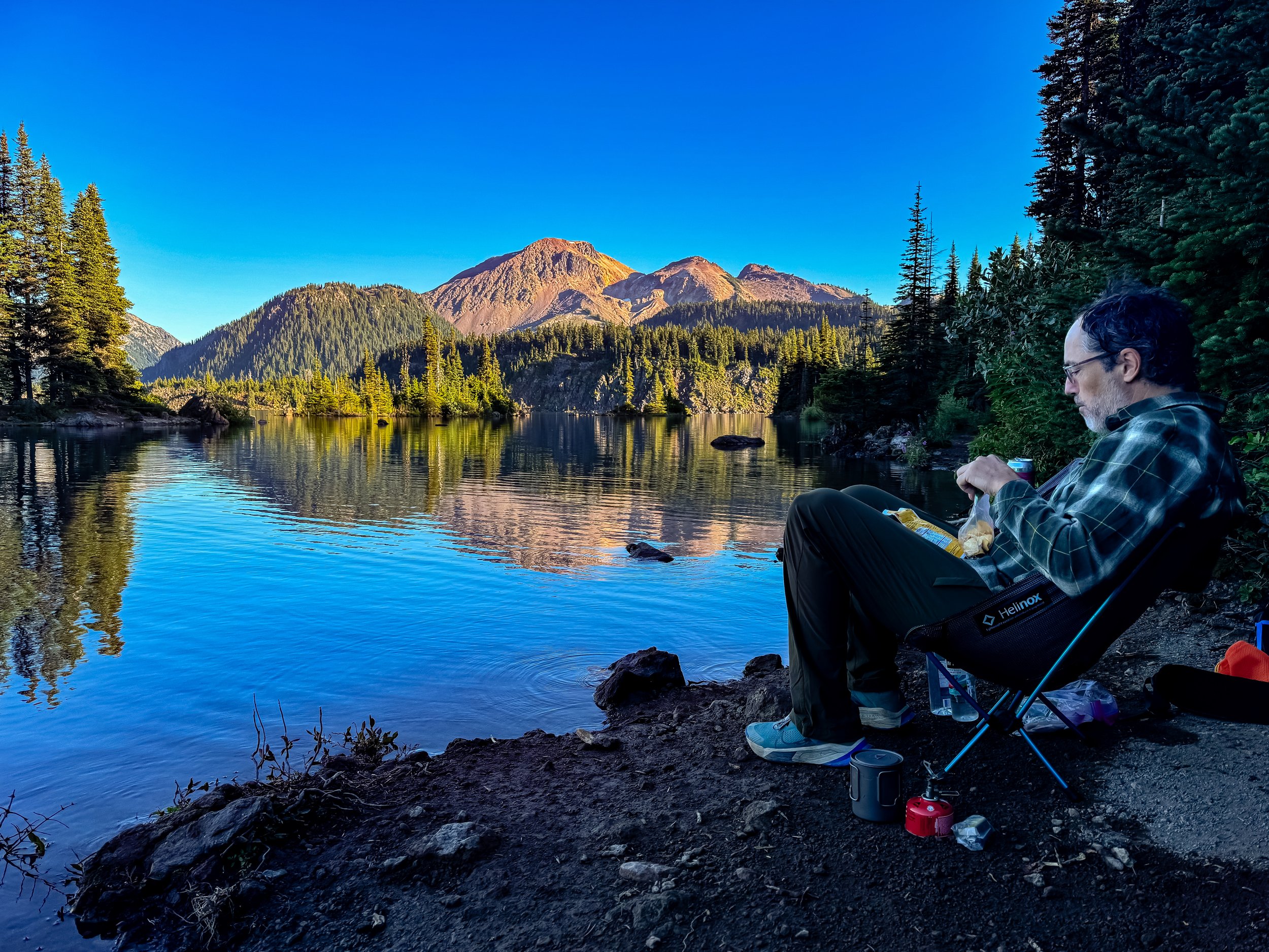
Another very important aspect of this decision is my mental health. I’ve talked about it here before. I take meds all year round and use my light therapy glasses everyday of the fall and winter EVEN on the road during Arizona winters. I need to be active outside in the sun almost everyday to keep anxiety and depression at bay. The first winter I spent in the south in my entire life was a game changer: I realized I could feel good all year, have energy and drive to do things and not wake up with an elephant on my solar plexus and struggle to get out of bed. I was 35. And I never looked back. Since then, I spent one winter in Quebec and it was really hard. You’ll tell me winter is hard on you too, but when you suffer from SAD, it’s a different level of hard. I don’t ever want to go through this again. Especially not when my girls are going through a major transition like entering high school.

So yes, this is a big factor and a top priority. It might sound egocentric, but if I’m sick, nothing is going to work. So yes, we could veto another 3 years on the road and tell our daughter that we will make sure she has high quality online classes and that she can settle down in 3 years when she goes to University. But that doesn’t feel right to force her into that life against her will… but then, settling down means forcing her sister into a life she doesn’t want either… And that’s where we will have to make a hard decision.

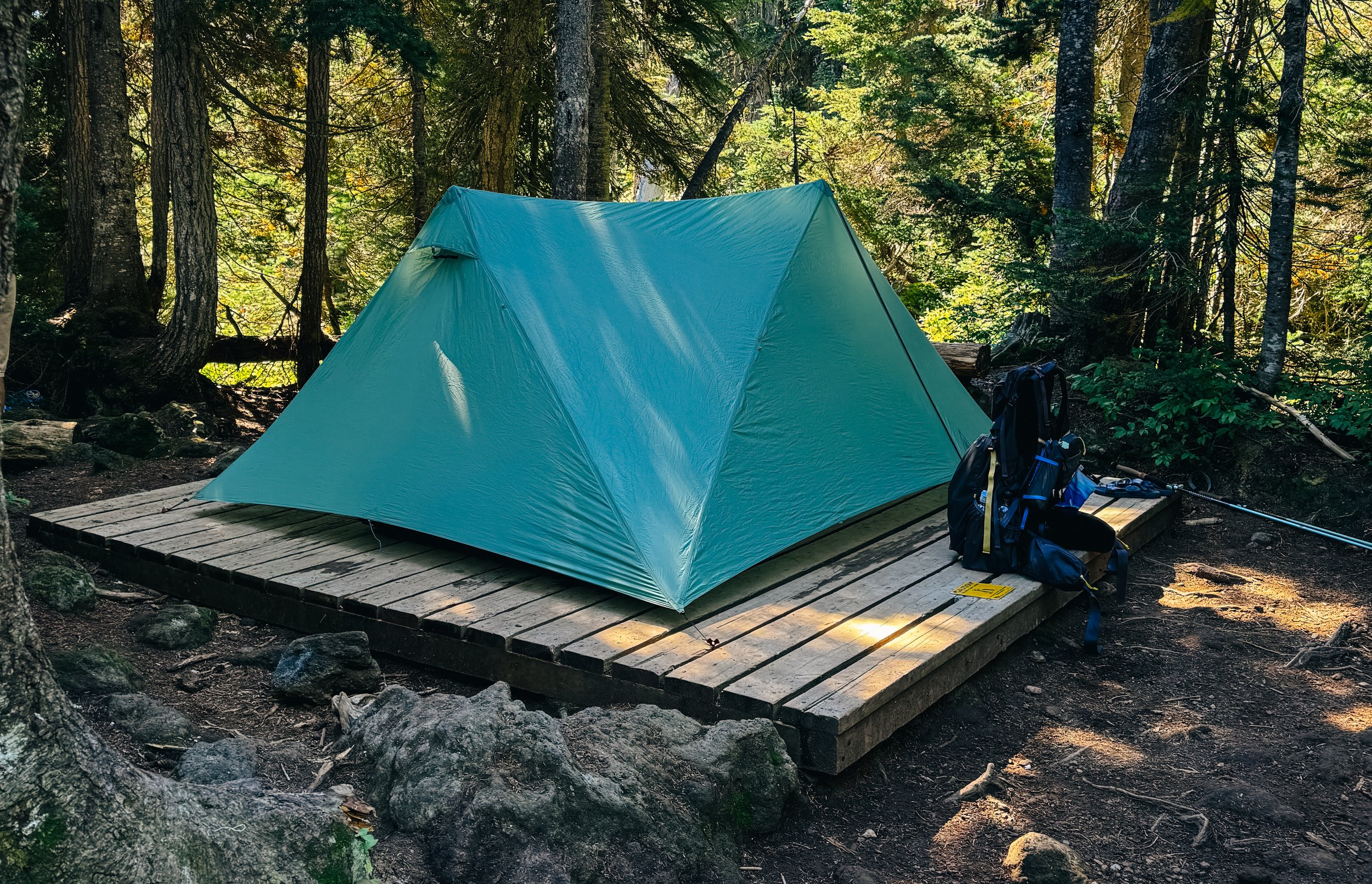
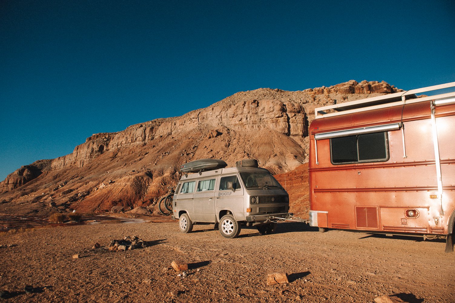
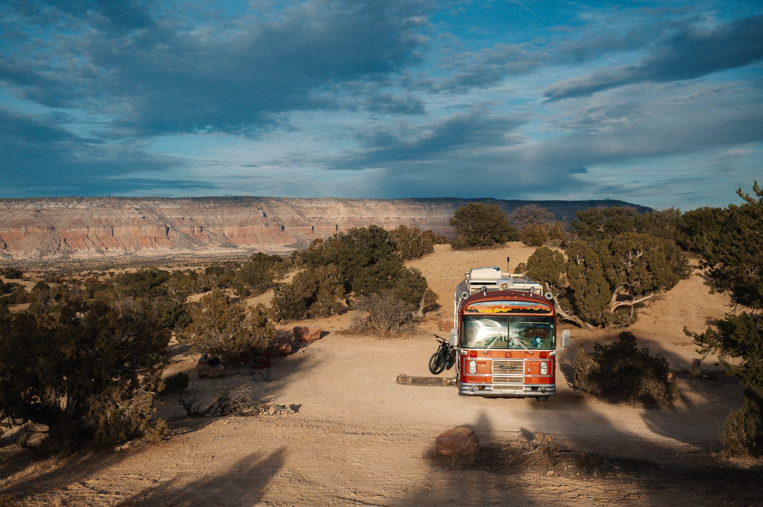
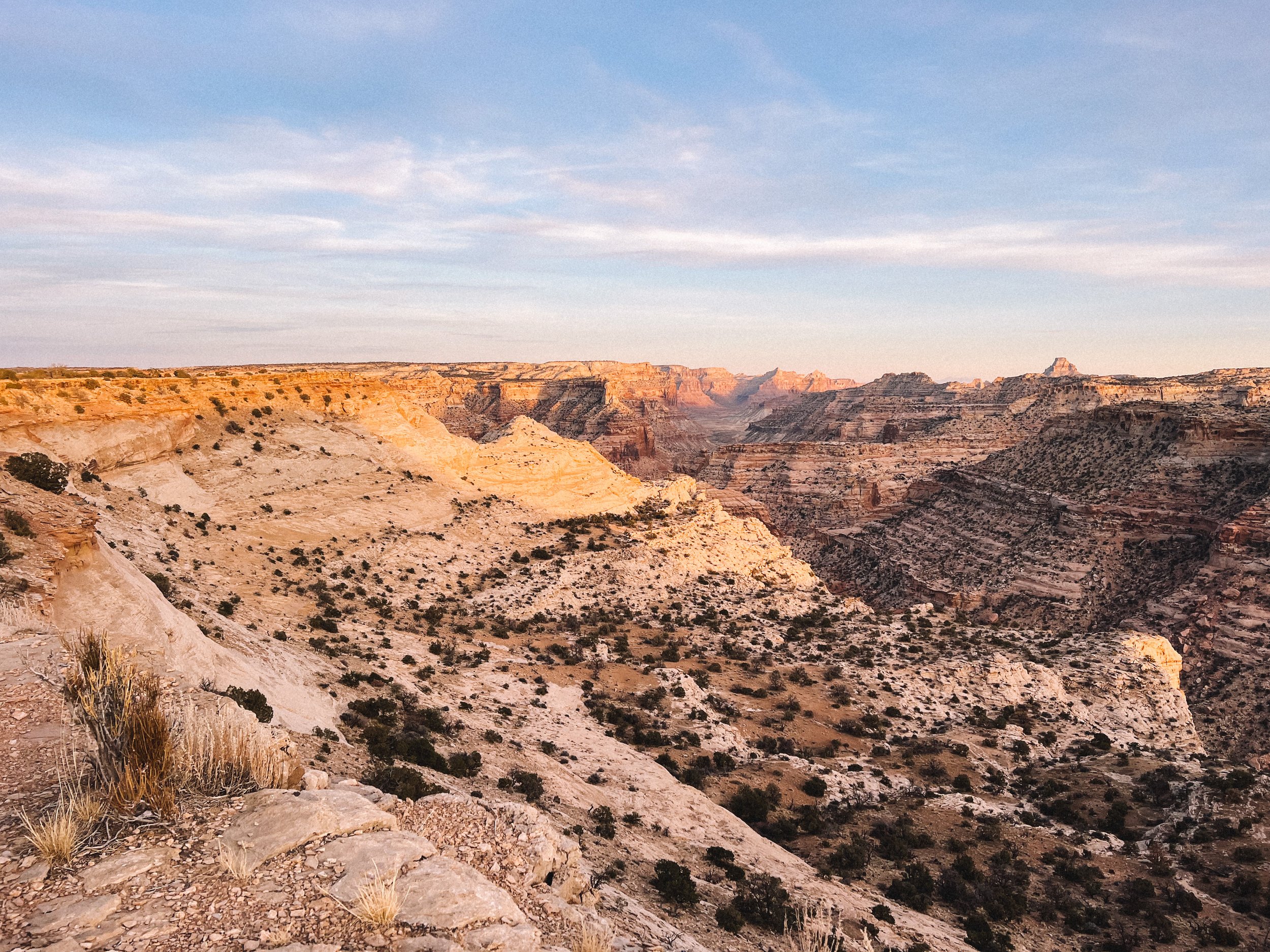
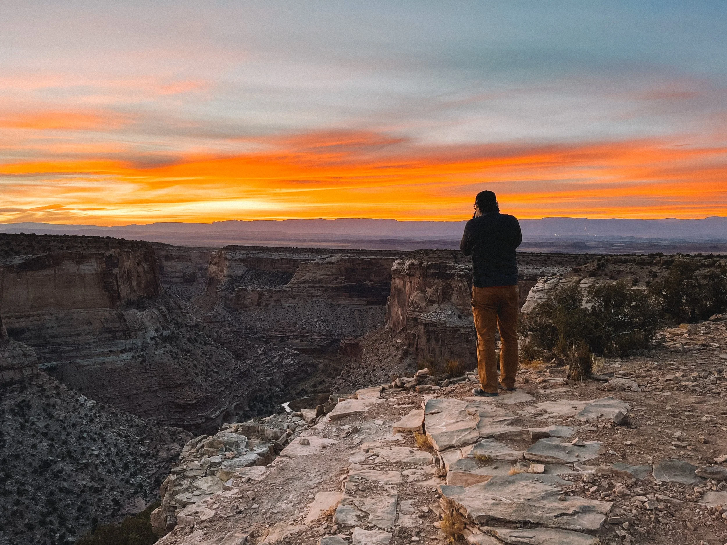
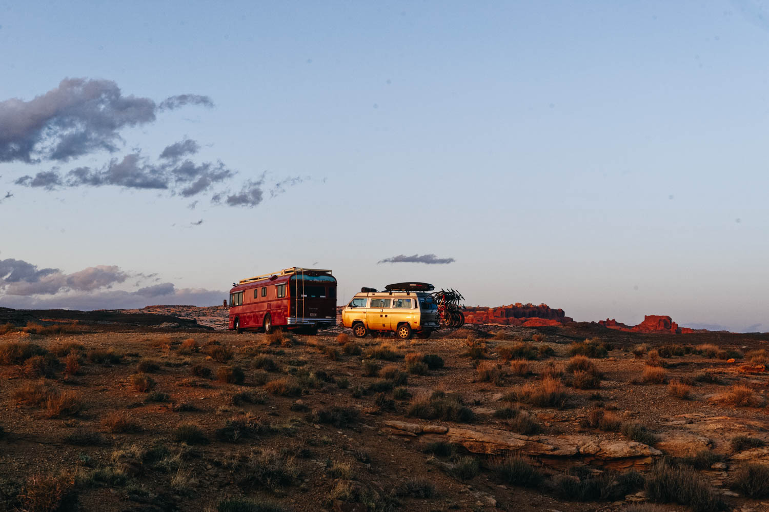
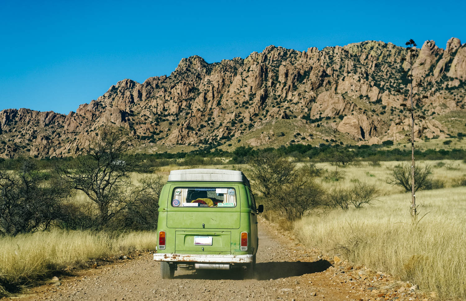
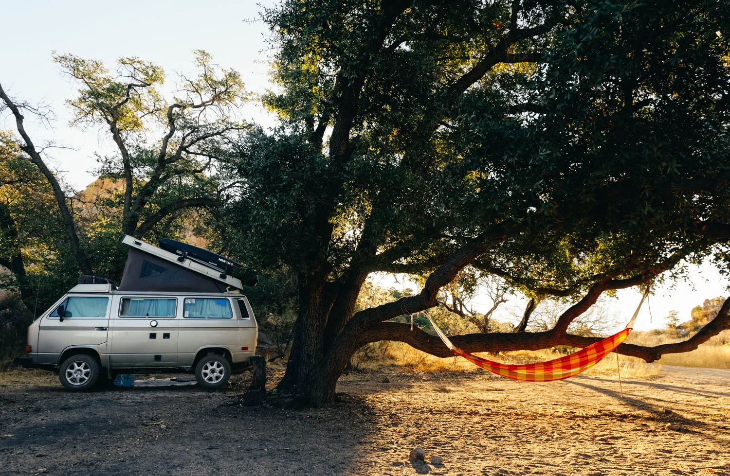
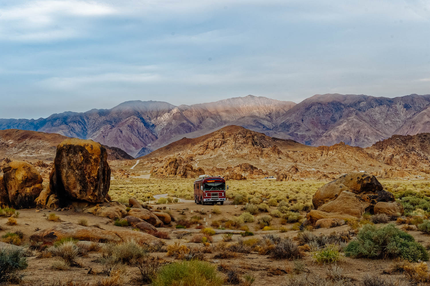
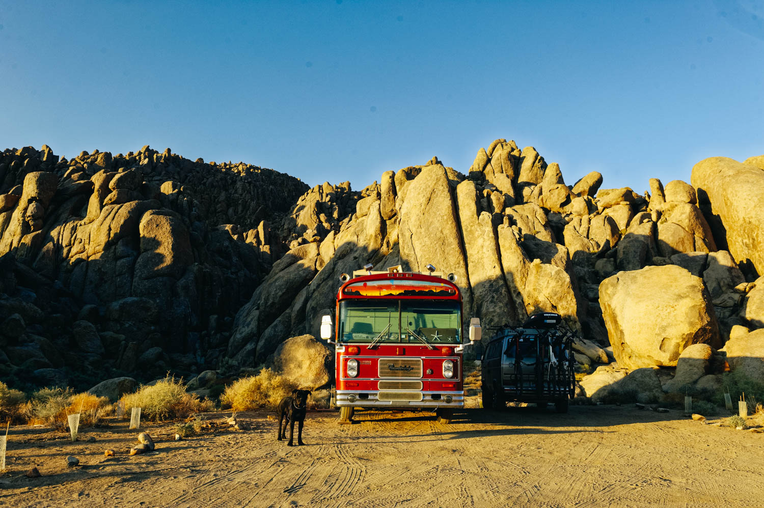
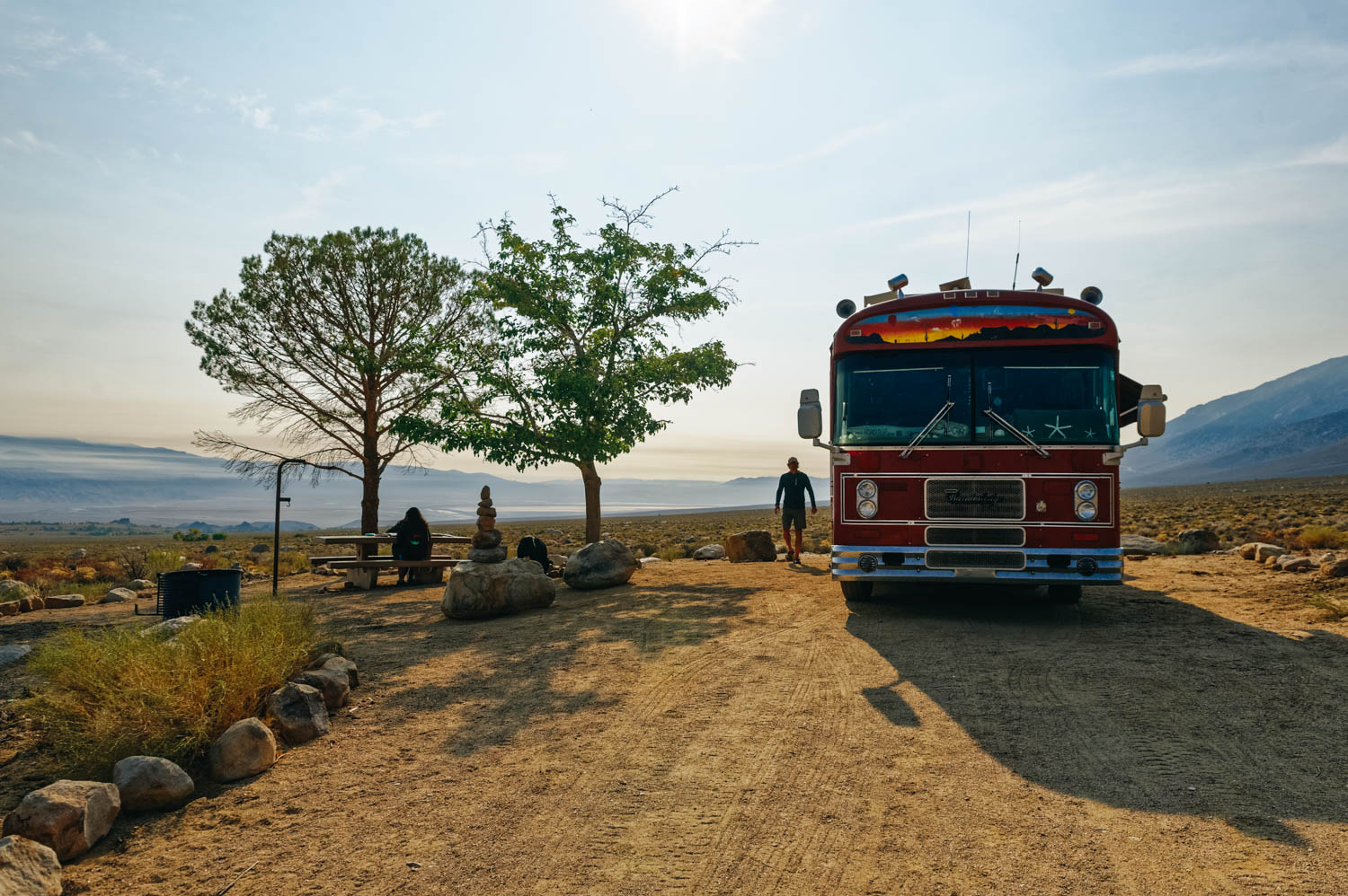
It’s no secret that we are not excited about settling down (we don't even know WHERE we would settle down at this point, but it would very likely be in Canada). Settling down means finding a home base and furnishing it (we have a big dog and finding a furnished rental is very unlikely). We don’t own anything anymore. Settling down IS a big deal. This bus is the home in which I lived the longest in all my life. I don't want to sell it. Same for the Westy. But in the North, these are not winter vehicles and need to be put in storage when not in use… And problems show up… Which also means that we'll need a car (or two) and another job to pay for it all…

So, it’s not a matter of simply *trying it for a year*. If we settle down, it will likely be at least for the next 4 years (or until our youngest is done with high school)... because we won’t turn things around again. Especially since the daughter who wants to settle down wants to do it because she is done leaving friends behind.

A part of me wants to believe that we can turn this into an adventure… If we find an interesting school in a new location where we can live in the bus for part of the year (and maybe an AirBnB for the few colder winter months…), that maybe could work. But the other part of me is like: are you crazy? No friends or family around in such a tough transition. No way!

And I dream of Europe...

I’m sure many of you wonder why I share all this personal stuff here. There are a few reasons. First, this is how I think. By sharing ideas and listening to feedback. It helps me frame my ideas and make sense of it all. Also, and above all, I feel like there are not many families on the road with teenagers and I know I wanted to hear their stories when my girls were smaller, so that’s mainly why I share mine here. It’s the same reason why I started blogging 10 years ago: to connect with likeminded people who questioned the mainstream path. There is less and less of us on that path when the children turn into teenagers and I feel like we need to hear the voices of these parents, their worries, their reflexions and yes, their fears… Because as much as we exude confidence, when you make a choice that is outside the norm, the fears are always there in the back of your mind, nagging. But you turn away from them and look at your teenagers and see that so far, you have done a decent job and that maybe you know the path… against all odds.

I have so much to say about this different life we live together that I am writing a book right now. If you feel encline, let me know in the comments what you would like to find in that book.

Great Sand Dunes National Park and Preserve

Can you spot the sand dunes at the base of the Sangre de Cristo Mountains?

Can you spot the sand dunes at the base of the Sangre de Cristo Mountains?

_CFO6412_DxO.jpg
_CFO6416_DxO.jpg
_CFO6420_DxO.jpg
_CFO6429_DxO.jpg
_CFO6428_DxO.jpg

These huge dunes look totally out of place at the edge of the snow-covered Rocky Mountains. Located in south central Colorado (about 2.5 hours from Colorado Springs and nearly four hours from Denver, they lie at the foot of the Sangre de Cristo Mountains. They are the tallest sand dunes in North America.

There are no official trails into the dunes and because of the soft, ever-shifting sand, possibilities for exploration are limitless. It is permitted to walk anywhere, and one popular target is the top of the tallest dune, which conveniently is only half a mile from the edge. Still, the journey takes up to one hour and it is often a case of one step up, half a step down. It is easier to walk along sand ridges, rather than up the side of the dunes. The surface temperature of the sand can rise to over 140 F in the summer, much too hot for barefoot walking, and very hard on your dog’s paws (bring booties). Note that this is one of the rare National Parks where dogs are allowed on hiking trails. It is written everywhere that you need to keep your dog ON LEASH. I know the dunes feel like a sandbox of epic proportions, but please respect that rule so we can keep coming here with our pups (most people had their dogs off leash…).

It is often windy on the dunes (it was when we were there) and it was not a pleasant experience. Wear long pants and non-mesh shoes (or walk barefoot if the sand is cool enough), a windbreaker and buff and tight-fitting hat, as well as sunglasses if you plan to hike the dunes on a windy day. It will make your journey much more fun.


You can also rent sand board or sand sleds to play on the dunes just outside the park (regular sleds or snowboards don’t work well on dry sand). Another amazing feature of the Great Sand Dunes is Medano Creek - a small stream fed by melting snow that is only about ten miles long and flows most strongly during spring and early summer. It starts in the Sangre de Cristo mountains, runs along the east edge of the dunes and disappears below ground in the valley.


It is also a great area for stargazing and there are often ranger-led astronomy programs in the park. A really unique experience would be to camp overnight in the dunes (when weather is calm and clear to avoid blowing sand or dangerous thunderstorms with lightning). You can pitch your tent anywhere in the dune field that lies outside the day-use area. You'll have a minimum hike of 1.5 miles over the dunes, but will experience a unique overnight setting. Don’t forget that hauling your gear up slippery sand dunes is quite the workout.

There is a limit of 6 people per party, and limit of 20 parties in the dune field per night; permits are first-come, first-served (gas stoves only; no campfires). Dogs are not permitted in the dunes backcountry.


Though not inside Great Sand Dunes National Park & Preserve, Zapata Falls is a terrific little hike (0.8 miles) during a visit to the area and a fun place to cool off from the hot sun in the summer since you have to walk in the water to get there.


There are a few options for camping in the area. The Piñon Flats Campground is run by the National Park Service, with 44 sites that are first-come, first-served and 44 that visitors can reserve in advance.

For those traveling in 4WD vehicles, there are 21 campsites along Medano Pass Road within the park that are free and available on a first-come, first-served basis.

Outside the park, there is the San Luis Wilderness area, which was a state park until last year, where you can camp FOR FREE WITH 30/50 AMP power, sheltered picnic tables and fire ring in a gorgeous setting. Too good to be true? That’s what we thought, but we had a hard time leaving.


Mary Jane Canyon and some Moab updates

Driving on Ranch rd/BLM 98 to get to Mary Jane Canyon. What a view!

Driving on Ranch rd/BLM 98 to get to Mary Jane Canyon. What a view!

After about 5 minutes of walking on the trail, you have to get your feet wet!

After about 5 minutes of walking on the trail, you have to get your feet wet!

And it just gets better.

And it just gets better.

The sandstone is so red it's almost purple and when you walk in the water, it looks like there is blood around your feet.

The sandstone is so red it's almost purple and when you walk in the water, it looks like there is blood around your feet.

_CFO4563_DxO.jpg
Finally found a quiet camping spot about 25 minutes out of Moab. With a gorgeous view of the Fiery Furnace.

Finally found a quiet camping spot about 25 minutes out of Moab. With a gorgeous view of the Fiery Furnace.

Silence. Finally. After days of constant OHV noise.

Silence. Finally. After days of constant OHV noise.

If you type Moab on the Home page search bar of the blog, you'll see a ridiculous number of posts pop up. We just love Moab and have been coming here every year for the last 5 years. The more helpful post for bike trails and general info that I wrote is this one and this one contains more photos or trails (all the info is still good, except that the coffee at Bike Fiend was NOT good this year, stick to Moab Coffee Roasters and the good cheap laudromat by the Village Market and Chili Pepper Bike shop is not a Domino Pizza and you are left with very few options for laundry... We ended up going to Moab Laundry (that we call the Gringo Laundromat, because it's pack full with travelers and it's ridiculously cheap and the driers take forever to dry... buuut, it's right by the City Market AND Gearhead (where you can fill your jugs with delicious spring water for free), so we can kill 3 birds with one stone.

Coming here every year for a while also means that we have seen the effects of more and more people camping on the public lands and that every year, we camp a little further away... Last year, we stayed on Dalton Wells Road since Willow Springs Road was packed and this year, after spending a few very noisy days on Dalton Wells with people riding and racing their OHV all day long in front of our bus, we moved further out of town.

There has been lots of discussions on Instagram lately among the vanlifers about the repercussions of sharing the exact coordinates of these free campsites (and other beautiful locations). Many of us feel directly responsible for drawing crowds there (and some of us truly are... I know I am for at least a few spots I first reviewed on Campendium). It’s a complex issue and many of us stand on the fence here. We’re not a select little group who should be the only ones to have access to this information. HOWEVER, as Kerri McHale (@asolojourner) says: “There’s surely enough info already out there to get anyone’s feet wet; even if every single one of us stopped geotagging today. (…) This land is open to everyone, and everyone’s free to explore it. We’re not putting up “no trespassing” signs; were just not putting up neon arrows to the road here”.

Of course, I will keep sharing these special spots with people I know. And I will keep sharing them here on the blog. I receive lots of messages from friends and acquaintances (and readers!) planning trips and never refuse them a piece of advice. However, I know these people and know they will not trash them. These places are our second homes, our refuges, as Kerri McHale says. She continues: It’s not good for everyone to crowd onto one pinpoint on a map—it changes the land, even when people *aren’t* trashing it. I’ve talked to many locals lately, who see places they’ve come back to for decades overrun and trashed. I once thought, “I don’t have that many followers…how could I really be affecting this?” But that’s kind of like saying, “I’ll just drop this one coke can on the ground. No one comes around here anyway,” isn’t it?

So if you have read this far, let me share with you here one of Moab's best kept secret: Mary Jane Canyon. When the crowds are invading Arches and Canyonlands National Parks (and Corona Arch trail too now...), there are a few hidden gems that you will likely only have to share with a few other hikers if you are willing to drive a few extra miles (or 20). Last year, I told you about the Fisher Towers (still our favorite hike in the area!) and this year, we discovered Mary Jane Canyon. Unfortunately, we didn't get to go all the way to the end where the true gem is: a beautiful 30 feet high split waterfall INSIDE the slot canyon because we ran out of light. It is a long hike (9 miles/14 km round trip) mostly IN the water, so plan accordingly. It is however perfect on a hot day when the crowds are all at Grandstaff Canyon (aka Morning Glory, aka Negro Bill Canyon) to get their feet wet. Some people have reported being able to keep their feet dry by rock hopping, but it'll be a lot of work (and you'll likely slip and get wet or injure yourself). You CAN be in the water 90% of the time, but you will likely have to be walking in it at least 50% if you follow the trail that meanders in and out of the creek. We don't have Keens, so we simply used our regular sneakers with wool hiking socks and it was perfect. JF did it in his Chaco sandals and said it was not ideal because the sole became abrasive under his feet after a while. If you have weak ankles, brink hiking poles. The water was pretty shallow when we did it at the beginning of April (mostly ankle deep, some spots mid-calf) and cold but not freezing. We called the BLM field office in Moab beforehand since it had rained a few days prior, but they said they do not monitor the water level there, so I guess it is not as likely to get flash floods there. The water level does vary during the year and it is usually dry at the end of the summer.

Once you reach the trail head, make sure you take the right trail. The more obvious one is for Professor/Sylvester Creek, which is NOT where you are going. The trail to Mary Jane Canyon is just across the parking lot by a no camping sign. The best info I found about it is on this blog (with photos of the trail head). The canyon walls get higher as you hike further into the canyon, and eventually will reach upwards of 100 ft. I also read that there are several side canyons that allow for exploring tighter slot canyons.


Page, Lake Powell and the Wahweap Hoodos

We camped two nights at Lone Rock Beach by Lake Powell. It a beautiful camping spot, but it can get pretty windy. There is a beautiful beach, but it was way to cold to swim in March. We saw lots of people kayaking on the lake and exploring a cave in…

We camped two nights at Lone Rock Beach by Lake Powell. It a beautiful camping spot, but it can get pretty windy. There is a beautiful beach, but it was way to cold to swim in March. We saw lots of people kayaking on the lake and exploring a cave inside Lone Rock.

The beginning of the Wahweap Hoodoos hike. 

The beginning of the Wahweap Hoodoos hike. 

The rickety fence I mention in the directions below.

The rickety fence I mention in the directions below.

The fact that it a longish hike (14 km/8-9 miles) and that most of the hike is in a wash and has nothing exciting to offer (at least by Utah standards) makes it much less trafficked that the rest of the sights in the area. . A great plus: dogs …

The fact that it a longish hike (14 km/8-9 miles) and that most of the hike is in a wash and has nothing exciting to offer (at least by Utah standards) makes it much less trafficked that the rest of the sights in the area. . A great plus: dogs are welcomed and can be off-leash!

Here we took a wrong animal path that led us close to the hoodoos, but we had to turn around because we could not keep going. Stick to the wash until you see the brush (description below)

Here we took a wrong animal path that led us close to the hoodoos, but we had to turn around because we could not keep going. Stick to the wash until you see the brush (description below)

Exploring the first set of hoodoos.

Exploring the first set of hoodoos.

_CFO3772_DxO.jpg
ww.jpg
_CFO3795_DxO.jpg
The Towers of Silence, the most stunning formatio. and truly a wonder of the geological world.

The Towers of Silence, the most stunning formatio. and truly a wonder of the geological world.

The soft entrada sandstone is pure white in color and forms hoodoos that are often topped either by dark sandstone blocks or unusual boulders of purple conglomerate, composed of small pebbles bonded together. 

The soft entrada sandstone is pure white in color and forms hoodoos that are often topped either by dark sandstone blocks or unusual boulders of purple conglomerate, composed of small pebbles bonded together. 

Left: eroded slope. Right: fluted bedrock.

Left: eroded slope. Right: fluted bedrock.

_CFO3813_DxO.jpg
There are also tons of beautiful rocks in the wash, so that kept us busy!

There are also tons of beautiful rocks in the wash, so that kept us busy!

Page is not known for its mountain biking, indeed there is only one 16 km loop around town. But we had seen pictures from that trail and wanted to check it out. It's like if Sedona trails and Moab trails had a baby trail along the Colorado River. Th…

Page is not known for its mountain biking, indeed there is only one 16 km loop around town. But we had seen pictures from that trail and wanted to check it out. It's like if Sedona trails and Moab trails had a baby trail along the Colorado River. The views are jaw-dropping and the trail is fun and flowy, with some exposure to keep it exciting. 

page2.jpg
While the Antelope Canyon parking lot was packed and there was a line of people looking like ants to get to Horseshoe Bend, we only saw one guy jogging the Rimview trail with his dogs and only 5 parties on the hike to the Wahweep hoodoos ON A SATURD…

While the Antelope Canyon parking lot was packed and there was a line of people looking like ants to get to Horseshoe Bend, we only saw one guy jogging the Rimview trail with his dogs and only 5 parties on the hike to the Wahweep hoodoos ON A SATURDAY! Definitely, two of Page area best kept secrets!

There used to be two ways to reach the Wahweap Hoodoos. Now the only way is to hike 9.2-miles roundtrip from Big Water, Utah, which is located about 20 min from Page, AZ (the trailhead is marked on Google Map as Wahweap Hoodoos trailhead). It used to be possible to access them from the southern end of Cottonwood Canyon Road (located near Churchwells, Utah) for a mere 2-mile roundtrip trek, but the BLM closed it because people abused it. It says it is closed to vehicular traffic, but it might be accessible by bike, which would be a great way to shorten the approach to the hoodoos. Here is the info if you want to check it on bike (but it would be even better to check with the Big Water Visitor Center): The non-vehicular approach to the Wahweap Hoodoos is along an undesignated track, rough in places, that forks northeast 1.5 miles from the south end of Cottonwood Canyon Road, which joins US 89 between mileposts 17 and 18. This bends eastwards after a few miles, past several junctions and ends after 10.5 miles right beside Wahweap Creek, from where the hoodoos are a short walk south.

There is a 2 WD parking lot and a 4 WD parking lot 0.8 mile further after the sometimes muddy creekbed. When you arrive at the wash, look for a sign along a rickety fence that reads Wilderness Study Area. After 3 miles of hiking in Wahweap wash (a normally dry, hot and shadeless trek: be prepared with adequate water, sunscreen, and protective clothing), you see the first sets of hoodoos. Make sure to stay in the wash the whole time (sticking to hard mud patches to make your hike less strenuous) and not take the side animal trails or you will have to retrace your steps (even if they seem to lead closer to the hoodoos).

You will come to a big patch of high brush and see the hoodoos behind that. Just make your way through the brush. You have arrived to the first set of hoodoos. Make sure you keep going just around the corner to see the Towers of Silence, rising like white ghosts, which are the most stunning (look for the White Ghost on Google Map, make sure you have your phone with you to locate the formations, it was really helpful). GPS Coordinates for the Towers of Silence 37°09’45” 111°42’45”

We believe that big sections of the wash could be done on a fat bike or even on a mountain bike with wide tires, which would shorten that less interesting part. Of course, the wash structure will change according to the rain, so check before going! There are several very short slot canyon tributaries, on the east side (check topo map).


Ending the year in the Strongholds

_CFO0527_DxO.jpg
cochise2.jpg
_CFO0549_DxO.jpg
_CFO0554_DxO.jpg
_CFO0556_DxO.jpg
_CFO0564_DxO.jpg
_CFO0567_DxO.jpg
_CFO0597_DxO-2.jpg
_CFO0602_DxO.jpg
_CFO0601_DxO.jpg
_CFO0607_DxO.jpg
_CFO0632_DxO.jpg
_CFO0622_DxO.jpg
_CFO0711_DxO.jpg
_CFO0687_DxO.jpg
cochise.jpg
_CFO0709_DxO.jpg
_CFO0634_DxO.jpg
_CFO0642_DxO.jpg
_CFO0643_DxO-2.jpg

Don't you just love it when you are with people with whom everything is so easy and simple and fun? I've said it before and I'll say it again: these guys feel like family! We spent a wonderful laid back weekend with them in the Dragoon Mountains, also called Cochise Strongholds. I've written on the blog about this place a few times already, so if you want more practical info about the camping or rock climbing, just search the blog with the hashtag cochise. 

We just love this place. There is an incredible sense of peace in these mountains. I love watching every sunrise and sunsets from the top and see how the orange light plays with the dry grass. Some people have compared it to some areas in Australia and even the African Savannah. I cannot help but think about Cochise and his troops who hid in those mountains for 2 years...

P.S. There is a pretty cool story about that van… We bought it from a gut that had imported it from California in 2000, used it, crossed Canada in it with our big St. Bernard to move to the Yukon, and sold it in 2005 to our friends Antonio and Pascale when I was expecting Mathilde (we camped in it with the twins in the Yukon, BC and Alaska – the first time they were only 2 months old!). Antonio and Pascale were moving to San Diego for Pascale’s postgraduate study, so the van was going back to its original home. Many years later, while he was working on the van, Antonio came across the manufactured date… which happened to be on his exact birthday. Not only the same year and the same month, but the same day too! How cool is that! So Tony the van, turned 40 on the same day as Antonio! And they are both off to many more adventures!

The Grand Canyon or hiking across one of the Seven Wonders of the World for his 40th birthday

Hike to Ooh Aah Point with friends.

Hike to Ooh Aah Point with friends.

_CFO9301_DxO.jpg
_CFO9308_DxO.jpg
_CFO9312_DxO.jpg
_CFO9329_DxO.jpg
JF showing Antonio where the Rim-to-Rim-to-Rim will take him the next day.

JF showing Antonio where the Rim-to-Rim-to-Rim will take him the next day.

Looking down into the Canyon from Ooh Aah Point.

Looking down into the Canyon from Ooh Aah Point.

One of the many morbidly obese squirrel...

One of the many morbidly obese squirrel...

_CFO9330_DxO.jpg
_CFO9328_DxO.jpg
_CFO9294_DxO.jpg
It was pretty smoky in the canyon, which made it a bit more challenging to breathe.

It was pretty smoky in the canyon, which made it a bit more challenging to breathe.

Waiting for JF and Martin to emerge from the big hole after their incredible Rim-to-Rim-to-Rim feat.

Waiting for JF and Martin to emerge from the big hole after their incredible Rim-to-Rim-to-Rim feat.

Just a tiny part of the many switchbacks Martin and JF hiked on their 74 km long day.

Just a tiny part of the many switchbacks Martin and JF hiked on their 74 km long day.

The champions!

The champions!

More and more, Aisha and Mara sleep in the tent or the Westy so they have their little corner.

More and more, Aisha and Mara sleep in the tent or the Westy so they have their little corner.

Our beautiful campsite in the National Forest near the South Entrance of the Grand Canyon.

Our beautiful campsite in the National Forest near the South Entrance of the Grand Canyon.

Life at camp with the boys.

Life at camp with the boys.

We had visited the Grand Canyon 5 years ago with the girls and it was still one of the highlights of our first year on the road, mostly because of our memorable hike into the canyon in the dark to watch the sunrise from Ooh Aah Point

Last year, JF had decided that he wanted to run/hike the Rim-to-Rim-to-Rim for his 40th birthday, that is from the South Rim to the North Rim and back, a 74 km feat with a crazy elevation change of 3,368 m. It was quite a challenge! I was glad his cousin Martin was joining him. Our friends Antonio and Pascale (and the boys!) came all the way from Tucson to spend the weekend with us. It was really cool to see the boys reaction to seeing the Grand Canyon for the first time. We had a beautiful day of hiking with them to Ooh Aah Point and many beautiful discussions as usual.

On the Sunday, Martin and JF left camp at 4:30 am and had only told us that they estimated it would take them between 12 to 16 hours to complete their adventure. So, the girls and I arrived at the Canyon Rim as the sun was disappearing. Lots of people were still coming up from the Bright Angel Trail before darkness fell. A worried friend was calling a name down into the canyon, the shuttle buses were packed with day trippers going back to their cars and hotels. Quickly, night fell and we could barely see down into the canyon, the bright half-moon illuminating only a few sections of the trail. Two rangers walked down with flashlights and came back 25 minutes later with an exhausted man. The girls and I got our hopes up every time we saw two headlamps down below on the trail, we tried to listen for familiar voices, knowing quite well that after 73 km, it was very likely that the boys didn’t have the energy to talk anymore. We were almost alone at the trailhead now, an eerie feeling in a place so busy during the day. A woman waiting for her friends sat nearby and started playing the flute. We sat in silence with the warm wind on our faces, listening to her melodious complaint.

We waited some more, danced and did jumping jacks in the moon shadow to stay warm, talked about fear and the ball that settled in our stomachs as time went by. After 3 hours of waiting, we finally heard from them (they had a pocket of connexion in the canyon). They were exhausted, but OK, and only 3.5 km away. We jumped in relief and joy and craziness took over as the building anxiety dissolved. It was hard to keep quiet but we wanted to surprise them! Finally, we saw one headlamp and a familiar shape. The girls were sure it was JF, but I couldn’t recognize his gait… and well, there was only one headlamp… it couldn’t be them… But as he neared the last switchback, we could see clearly that it was an exhausted JF, leaning on his poles as he painfully climbed the last stretch. The girls ran down the trail, screaming their joy and congratulations. We had never seen JF that exhausted! Martin was right behind (he had lost his headlamp). They had spent 15 and a half hours in the Canyon going from the South Rim to the North Rim and back (74 km). What an accomplishment! They both agreed that the last 20 km were too much before falling into bed, without dinner or celebratory beer.

Sawtooth Canyon, aka New Jack City, CA

Our beautiful free campsite! If you zoom in, you can see Mara climbing on the right most crag, in line with the top of the picnic table roof.

Our beautiful free campsite! If you zoom in, you can see Mara climbing on the right most crag, in line with the top of the picnic table roof.

She's free soloing now. We're cool with that. Just kidding, mom.

She's free soloing now. We're cool with that. Just kidding, mom.

The Valentine Wall, where we saw 2 tarantulas...

The Valentine Wall, where we saw 2 tarantulas...

Cat on Love Potion 9 (5.7) trying not to get blown away on that arete. We arrived at New Jack City on a Thursday night, which meant we only had Friday to climb before the weekend crowd got here. It was a crazy windy day (35 miles per hour constant w…

Cat on Love Potion 9 (5.7) trying not to get blown away on that arete. We arrived at New Jack City on a Thursday night, which meant we only had Friday to climb before the weekend crowd got here. It was a crazy windy day (35 miles per hour constant wind gust crazy), but we still climbed in a super fun gully right behind our campsite (Valentine Wall).

Mara on Cupid's Fever (5.8)

Mara on Cupid's Fever (5.8)

Mara on My Bloody Valentine (5.10 a) on the Valentine Wall.

Mara on My Bloody Valentine (5.10 a) on the Valentine Wall.

Stout wondering what the heck his human is doing up a rock wall.

Stout wondering what the heck his human is doing up a rock wall.

Mathilde on Jack be Nimble (5.8)

Mathilde on Jack be Nimble (5.8)

The twins on The Boy Scout Wall.

The twins on The Boy Scout Wall.

Mara leading Green Eggs and Ham (5.7)

Mara leading Green Eggs and Ham (5.7)

_CFO9136_DxO.jpg
Mathilde on top of Jack be Nimble (5.8), on the Boy Scout Wall.

Mathilde on top of Jack be Nimble (5.8), on the Boy Scout Wall.

Climbing on the Welcome Wall, right by our campsite.

Climbing on the Welcome Wall, right by our campsite.

We spent most of our days in our climbing harnesses, taking turns on the routes, just shouting next when a climber was done. The bus door would open and another eager climber would spill out, pausing what he was doing. We translated and cooked in our harnesses. We were a funny sight, but it was wonderful to have so many great routes right by the bus. This place is so great! These perfect campsites are available for free (Sawtooth Canyon Campground: GPS 34.6703, -116.984)

The surrounding landscape is breathtaking. Most campsites are very private. There are 16 sites, and the campground is opened all year round. Each site has a picnic table, grill and fire pit. There are vault toilets. No potable water or dump station available on site. If you come from Barstow (25 minute drive), you can fill your water tank with potable water at the Flying J gas station. There is a big Vons grocery store there too. You must pack out your garbage as there is no trash can at the campground.

You will have to drive around to find the best spots for signal. Site 2 had great Verizon signal. The sites just behind the rocks don’t have signal, but the ones further at the back seemed to have good signal too. It can get very windy, very quickly, so don’t leave awnings out or things outside that could fly away. The only downside of this place is that there is a lot of broken glass everywhere (watch out for your dogs’ paws). We also encountered two tarantulas during our stay. The site is used by boy scouts association on weekends, so we were happy to be further from the crowd (who sets up at the far end where there is a group campsite area).

There are tons of amazing rock climbing routes right behind the sites, so be aware that you might have climbers in your backyard (or on your site) if you chose a site by climbing routes (look for bolts on the walls). Site 2 is just by the Valentine Wall and the Welcome Wall and we climbed all the routes on these two walls. We then moved on to the Boy scout Wall (near the group campsite area) on warmer day (it’s in the shade all day). There are many more walls to explore and we will be back when the weather is cooler.

The Alabama Hills, Lone Pine, California

_CFO8629_DxO.jpg
One of the shortest approach walks we ever had to go climbing. 

One of the shortest approach walks we ever had to go climbing. 

Our backyard for a week.

Our backyard for a week.

Beautiful long routes.

Beautiful long routes.

_CFO8639_DxO.jpg
It was the place we chose to stay to celebrate Mathilde's 12 yo birthday.

It was the place we chose to stay to celebrate Mathilde's 12 yo birthday.

And JF's 40th!

And JF's 40th!

The Sierras (and Mt. Whitney) looming just behind the Alabama Hills.

The Sierras (and Mt. Whitney) looming just behind the Alabama Hills.

Hiking up to Lone Pine Lake from Whitney Portal.

Hiking up to Lone Pine Lake from Whitney Portal.

Gorgeous Lone Pine Lake.

Gorgeous Lone Pine Lake.

_CFO8792_DxO.jpg
We ended up moving to Tuttle Creek Campground to have good signal to be able to work (Verizon signal is bad and spotty in the Hills, AT&T was better).

We ended up moving to Tuttle Creek Campground to have good signal to be able to work (Verizon signal is bad and spotty in the Hills, AT&T was better).

For $8/night, this place was amazing. Site 53 at Tuttle Creek Campground.

For $8/night, this place was amazing. Site 53 at Tuttle Creek Campground.

And we were very close to another climbing sector called the Candy Store, with fun short routes, perfect for a few climbs before sunset after a day of work/school.

And we were very close to another climbing sector called the Candy Store, with fun short routes, perfect for a few climbs before sunset after a day of work/school.

_CFO8864_DxO.jpg
_CFO8860_DxO.jpg
Very smoky sunset behind Mt. Whitney.

Very smoky sunset behind Mt. Whitney.

Red smoky sunrise in the Alabama Hills.

Red smoky sunrise in the Alabama Hills.

_CFO8953_DxO.jpg
_CFO8958_DxO.jpg
_CFO8963_DxO.jpg

The Alabama Hills are probably the free camping spot that made boondocking what it is today. It's also a very unique location where more than 400 movies were shot (lots of cowboy movies, but a few Sci-Fi too... remember Tremors?). After having heard so much about this place and seen so many pictures, I was afraid to be disappointed. It is a super vast area where you can find a secluded spot between boulders and have climbing routes right in your backyard while looking at the sunset over Mount Whitney. Sounded too good to be true. Well, it almost is... if you need decent signal to work. But if you don't (we had 5 days off for Mathilde and JF's birthdays), it really is the perfect boondocking spot.

For the work week, we ended up moving 5 miles away at Tuttle Creek Campground where there is very good Verizon signal (and beautiful campsites) for $8/night.

As for climbing in the area, there are tons of sports routes. The granite is similar to Joshua Tree, there are lots of slabby routes with small crimpy holds. We loved The Tall Wall (Rotten Banana, Bananarama, Banana Split), the Hoodgie Wall (Ankles Away, Leonosphere) and had fun on the short routes in the Candy Store for quick afternoon climbs after work. We didn't make it to the Arizona Dome.

We went to visit the Lone Pine Film History Museum and had delicious burgers (skip the fries, get the beer battered onion rings) at The Alabama Hill Café (note that it is only open from 7 am to 2 pm every day, no dinner hours).

The grocery store in town is nothing great. It's pricey and the quality of the produce and meat is not great. You can dump ($5, no fresh water at the dump) and fill (for free, near site 50 by the out house) at Tuttle Creek Campground. You can also fill with water in town at the gas station near the city park.

Eldorado National Forest, Crystal Basin, CA

On our way down from the Lava Beds National Monuments, we stopped for a few hours at the Yuba River State Park. The river is an incredible deep blue turquoise and there are tons of secret spots along the river to swim and enjoy this area. It was lat…

On our way down from the Lava Beds National Monuments, we stopped for a few hours at the Yuba River State Park. The river is an incredible deep blue turquoise and there are tons of secret spots along the river to swim and enjoy this area. It was late in the day and we didn't have time to explore, but still had a quick post sunset dip.

Union Valley Reservoir (Sunset Campground) and our friends Catamaran.

Union Valley Reservoir (Sunset Campground) and our friends Catamaran.

They took us sailing and it was so much fun!

They took us sailing and it was so much fun!

We also canoed on the beautiful lake. There is already snow on the mountain tops!

We also canoed on the beautiful lake. There is already snow on the mountain tops!

They brought us to another great spot in this area called Bassi Falls.

They brought us to another great spot in this area called Bassi Falls.

Sticks are so overrated. I retrieve pinecones.

Sticks are so overrated. I retrieve pinecones.

Bassi Falls paradise.

Bassi Falls paradise.

Upper Bassi Falls is full of beautiful basins flowing into one another. Some of them made for great waterslides too!

Upper Bassi Falls is full of beautiful basins flowing into one another. Some of them made for great waterslides too!

_CFO8046_DxO.jpg
_CFO8067_DxO.jpg
_CFO8032_DxO.jpg

We came here to meet our friends who had spend the summer in the area sailing their Catamaran and just enjoying this beautiful wild part of the sierras. They had told us how much they liked this region before and we were excited to discover it. It really blew our minds. Sunset Campground is beautiful and located on a peninsula. Unfortunately, it will be closed for the next two years for improvements. Luckily, there are other campgrounds very close by, namely Wolf Creek that our friends really like. Do not miss Bassi Falls and Wright Lake trails in the Desolation Wilderness (JF went running there) if you are in the area. It is about half way between Auburn and Lake Tahoe.

Umpqua National Forest, Oregon

_CFO7641_DxO.jpg
_CFO7651_DxO.jpg
_CFO7647_DxO.jpg
_CFO7637_DxO.jpg
Harvesting Oregon grapes, which isn’t technically a grape at all, but a bush in the barberry family.

Harvesting Oregon grapes, which isn’t technically a grape at all, but a bush in the barberry family.

Also harvesting Salal berries. I love the taste of these berries (a complex mix of blueberries and blackcurrant).

Also harvesting Salal berries. I love the taste of these berries (a complex mix of blueberries and blackcurrant).

If you press the stem side of a salal berry, the other side opens up and creates a beautiful fruit flower!

If you press the stem side of a salal berry, the other side opens up and creates a beautiful fruit flower!

Salal berry gimlet1 ½ oz London Dry Gin1 oz lime juice1 oz salal berry syrupShake 20 sec with ice, strain over fresh ice.

Salal berry gimlet

1 ½ oz London Dry Gin
1 oz lime juice
1 oz salal berry syrup

Shake 20 sec with ice, strain over fresh ice.

It was quite something to drive through the very smoky part of the Umpqua National Forest being escorted by a pilot car (with signs saying: Active Wildfires, DO NOT STOP). It was hard to get accurate information online about the air condition (it changed fast and the sites were not up to date) and we thought we could camp near the Umpqua River Trail and bike part of it (it's an epic trail), but most of the campgrounds were closed because of the fires. We came across this little gem of a campground just as we were starting to feel a bit discouraged. The air was so cool and fresh by the falls! Oregon is full of incredible places.

We ended up staying there 2 nights and except for a few people driving in to see the falls, stay 10 minutes and leave, we had the whole place to ourselves. We had hoped to go to the Umpqua Hot Springs, but the access road was closed and it was cooking hot anyways. 

Ruby Beach and South Beach, Olympic Peninsula, WA

South Beach

South Beach

_CFO7486_DxO.jpg
_CFO7599_DxO.jpg
_CFO7584_DxO.jpg
_CFO7594_DxO.jpg
_CFO7591_DxO.jpg
Trying to take pictures of whales is quite frustrating...

Trying to take pictures of whales is quite frustrating...

_CFO7506_DxO.jpg
Reflexion of the orange sun from the forest fire smoke on the ocean.

Reflexion of the orange sun from the forest fire smoke on the ocean.

Ruby Beach

Ruby Beach

_CFO7526_DxO.jpg
Tons of green anemones.

Tons of green anemones.

Exploring the tide pools at Ruby Beach

Exploring the tide pools at Ruby Beach

_CFO7545_DxO.jpg
Look at all these sea stars!

Look at all these sea stars!

_CFO7552_DxO.jpg
Hermit Crab.

Hermit Crab.

Kelp crab

Kelp crab

The sea star population was decimated a few years ago by a virus called sea star wasting disease. This sea star is dying. It has lost a limb already, a sure sign of the disease.

The sea star population was decimated a few years ago by a virus called sea star wasting disease. This sea star is dying. It has lost a limb already, a sure sign of the disease.

The good news is that in the last year, we see lots of baby sea stars, like this tiny purple sea star, which means the population is growing back.

The good news is that in the last year, we see lots of baby sea stars, like this tiny purple sea star, which means the population is growing back.

From the Hoh Rainforest, we headed to the Pacific Coast of the Peninsula to Kalaloch Beach. We had made a reservation for an ocean front site there, but the site was too small for our rig and there was only 3G signal which was not good enough for work. The ranger sent us 3 miles down the road to South Beach campground where there was 4G LTE and some open sites. The campground is nicer and more treed at Kalaloch, but South Beach is right on the ocean. It looks more like a big parking lot than a campground, but at $15 per night, we didn't complain! And what was the first thing that we saw once we got off the bus? Grey whales jumping! We had no idea that South Beach is one of their stop on their way back to Baja where they go back to calve and nurse in the warm lagoons. They return in early Spring on their way to arctic feeding ground in Alaska. Somehow, across 4000 miles of ocean, they navigate precisely, on a predictable timetable!

We thought we had lucked out incredibly with our timing... until we found out through Ranger Meagan on the tide pool outing that for the first time this year, 200 whales stayed here all summer... things are changing for sure... She also told us that about 3 weeks ago, she was part of a rescue mission to help a whale that was life stranded on the beach. It took almost 48 hours for the crew to help her back to the water since the tides were not in their favor. They used a a pulley system to turn the whale so she could face the water and finally, it worked! 

The Amaroni is a cousin of the Negroni. Instead of the more in-your-face Campari that might not be love at first taste for many, this is a great introduction to the world of Negroni.AMARONI1 oz gin (I used Hendrick's, but use your favorite Negroni G…

The Amaroni is a cousin of the Negroni. Instead of the more in-your-face Campari that might not be love at first taste for many, this is a great introduction to the world of Negroni.
AMARONI
1 oz gin (I used Hendrick's, but use your favorite Negroni Gin, Plymouth is a good choice here)
1 oz Carpano Formula Antica sweet Vermouth
1 oz Mia Amata Amaro (or your favorite amaro, Averna would be a good mild introduction, Ramazotti would be more along the same lines as the Mia Amata).
Orange peel for garnish

Stir with ice for 30 sec and strain on new ice. Garnish with orange peel.

Neah Bay and Cape Flattery, Olympic Peninsula, WA

_CFO7266_DxO.jpg
How fairies are born

How fairies are born

Hike to Cape Flattery

Hike to Cape Flattery

View at the tip of Cape Flattery

View at the tip of Cape Flattery

There are many caves at the Cape.

There are many caves at the Cape.

The beautiful rugged waters of Cape Flattery

The beautiful rugged waters of Cape Flattery

Hobuck Beach

Hobuck Beach

_CFO7284_DxO.jpg
_CFO7316_DxO.jpg
_CFO7318_DxO.jpg
Green anemones in the tide pools

Green anemones in the tide pools

_CFO7321_DxO.jpg
_CFO7352_DxO.jpg
_CFO7361_DxO.jpg

From Neah Bay, it is a short 10 minute drive to Cape Flattery, the northwest tip of the Lower 48. The hike to get the to the tip where the Cape is located is only 1.5 mile through a beautiful Coastal Forest. Since Cape Flattery is on the Makah Reservation, you need to get a permit to hike the trail ($10 per vehicle for the year). We got ours at Neah Bay's General Store. 

As for camping in the area, the options are limited. Hobuck RV Resort has 10 full hook-up sites with a seaview (but pretty close together) for $40/night. There is also a field down the road where you can camp for $20/night (access to shower and outhouses, but otherwise dry camping). It might be a good option on the off-season, but since we got there on the Friday before Labor Day, it was a zoo. The only other option was a new RV park called Hide-away RV park (that looked more like an RV storage lot than an campground), but they had full hook-up sites for $30/night (and a few dry camping spots for $20) and it was a short 100 yard walk to the beach. It was much more quiet there.

Keep in mind that the drive to Neah Bay from Port Angeles is pretty twisty and bumpy (frost heaves), so lock your cupboards and secure everything and take what you need for motion sickness. Take your time and enjoy the scenery!

There is a beautiful hike that can be done as an overnighter (you sleep on the beach!) to Shi-shi Beach or as a long day hike (it is part of the Olympic National Park). With Mara being injured (and with the amount of cars along the trailhead), we decided to keep it for another time.

Also, on a different note, I will publish cocktails here in some posts (you can find them in the cocktails category), but I won't publish them all (it's a traveling blog after all!), but you can access them all either on Instagram or Facebook with the hashtag redbusdrinks (#redbusdrinks). My friend Catheline is translating many of them and publishing them on her beautiful site (in French only).

My Manhattan2 oz rye whiskey 3/4 oz @oddsocietyspirits Italian bittersweet Vermouth 1/2 oz rosemary honey syrup3 dashes orange sage bitters Stir with ice and strain. Garnish with a rosemary sprig.

My Manhattan

2 oz rye whiskey
3/4 oz @oddsocietyspirits Italian bittersweet Vermouth
1/2 oz rosemary honey syrup
3 dashes orange sage bitters

Stir with ice and strain. Garnish with a rosemary sprig.

Alice Lake Provincial Park and Squamish area, BC

_CFO6864_DxO.jpg
_CFO6929_DxO.jpg
_CFO6934_DxO.jpg
_CFO6918_DxO.jpg
_CFO6970_DxO.jpg
_CFO7037_DxO.jpg
_CFO7040_DxO.jpg
_CFO6981_DxO.jpg

The Coastal Forest is just magical... You cannot help but smile when you walk in it, feeling like pointy elf ears are gonna pop on your head or that wings will appear on your back. 

Alice Lake Provincial Park is a beautiful campground in that gorgeous forest. It's a popular family destination, so it's not unusual that the 108 sites are all reserved (and they don't have First Come First Serve sites). There are tons of beautiful hiking and mountain biking trails in the park and four lakes (only Alice lake is OK for swimming), but the hiking around Stump lake is beautiful. Dogs have to be kept on a leash everywhere and are not allowed on some trails and on the beach.

Nairns Falls Provincial Park and North Arm Farm, Pemberton, BC

_CFO6737_DxO-2.jpg
_CFO6745_DxO-2.jpg
_CFO6793_DxO.jpg
falls.jpg
_CFO6819_DxO.jpg
North Arm Farm, in Pemberton.

North Arm Farm, in Pemberton.

Picking blueberries at North Arm Farm.

Picking blueberries at North Arm Farm.

_CFO6829_DxO.jpg
The twins are both injured (bike crashes), so they are taking it easy instead of biking and climbing as was the plan for this area...

The twins are both injured (bike crashes), so they are taking it easy instead of biking and climbing as was the plan for this area...

_CFO6842_DxO.jpg
The Farm store and Café, a wonderful place!

The Farm store and Café, a wonderful place!

After driving through a very smoky sectors from Prince George to Clinton and seeing vast expanses of burnt (and still smoking) areas, we turned onto the Sea to Sky Hwy and the landscape completely changed. We could not believe how many vehicles were parked along the highway at Joffre Lakes Provincial Park and a quick search revealed why. There is a gorgeous 10 km hike that leads to 3 different green and turquoise lakes that look incredible. We'll be back another year outside of the busy season (and early on a weekday!). 

The grades are pretty steep before arriving in Pemberton and the bus brakes overheated (and smoked) quite a bit. When we arrived at Nairn Falls Provincial Park (our destination for the night), the campground sign indicated Full. We still went in and asked and got the last available site! The hike to the fall was beautiful, especially at sunset (make sure your wear proper footwear and not worn Birkies like me, the rocks are pretty slick towards the end). There is a well-hidden beach where it is safe to swim (the Green river is pretty strong). More info here.

We rode some of the bike trails the next day (they are OK, but not great for the area). Aisha had a crash and ended at the Whistler ER (it's not broken!). The waiting room was mostly populated with other mountain bikers, full face helmet under their arms, limping their way in... All you could here on the interphone was: Bike crash coming in. 

We also visited the magical North Arm Farm just North of Pemberton (40 km north of Whistler) and picked organically grown blueberries and raspberries. We also ate wonderful homemade food at their beautiful Café (breakfast tart made of croissant dough topped with homemade pesto, a farm egg, goat cheese and caramelized onions) and had their gelato. Everything was very decently price, especially for this area. 

By the way, check out this fun graphics of us and many vanlife nomads at Mighty Goods. It's just too bad that they didn't include the girls and Stout in it, but still love it! Can you find us?