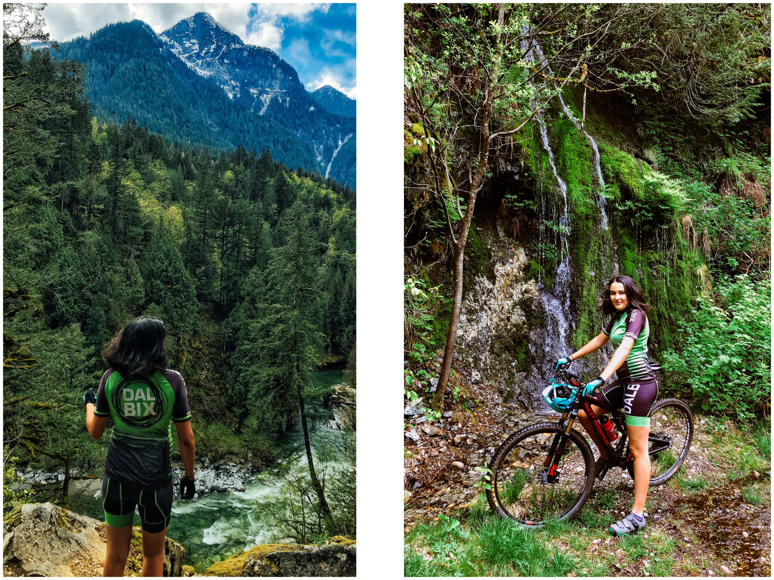
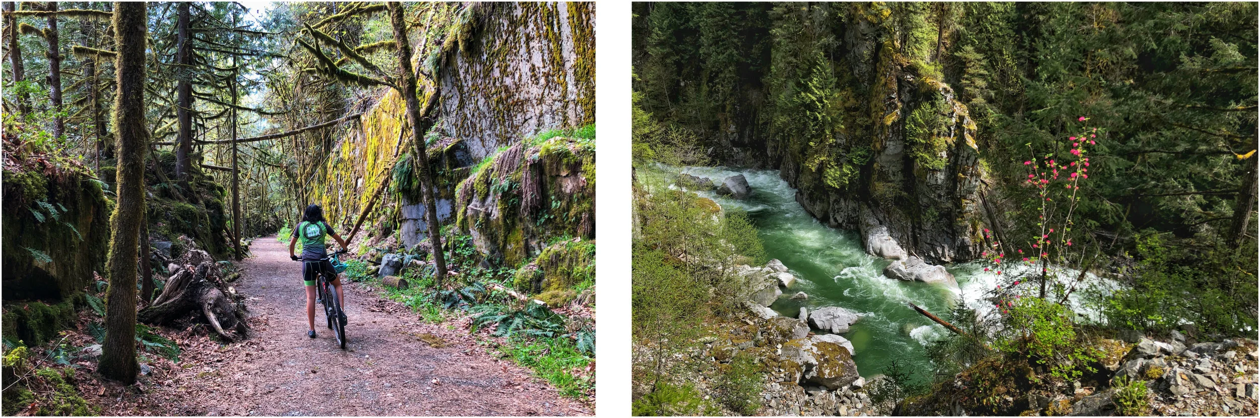
Hiking around Summit Lake, Stone Mountain Provincial Park
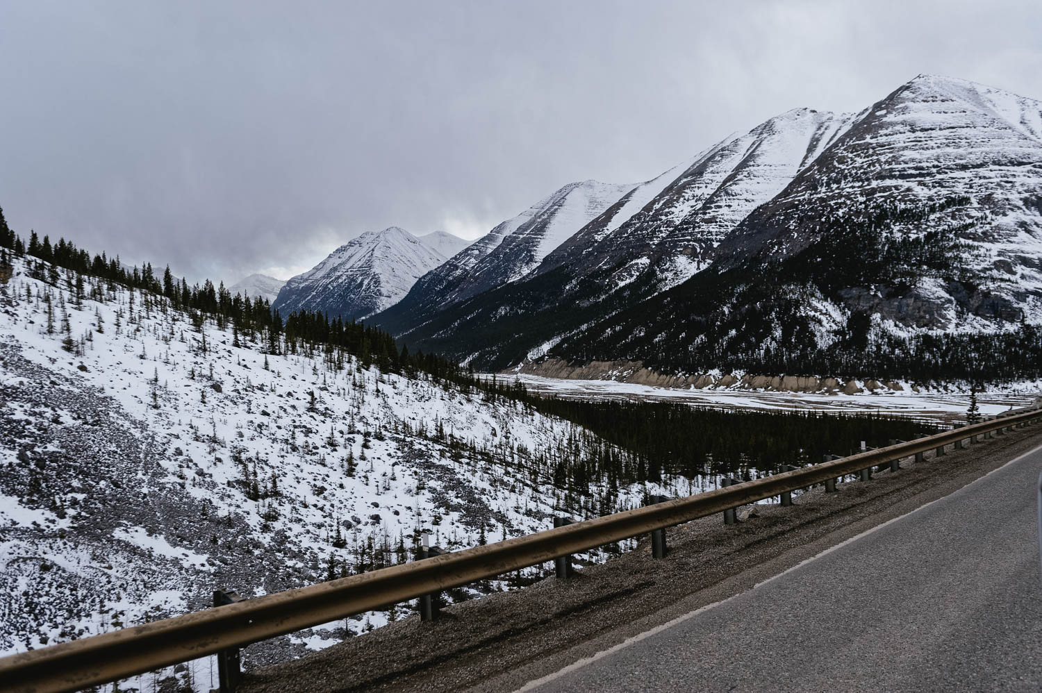
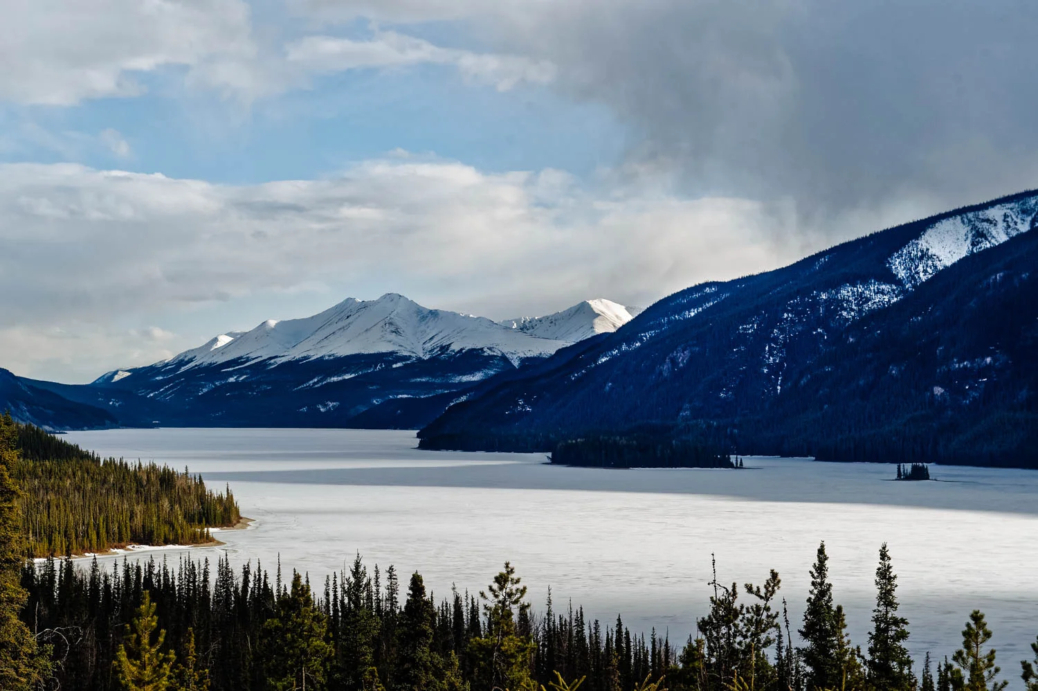
Summit Lake campground in Stone Mountain Provincial Park is the highest point on the Alaska Highway (at about km 600 - Historic Mile 373) at 1,300 meters (4,250 feet of elevation). It is located about 140 km West of Fort Nelson and is a must stop on your way North. I recommend you spend the night in Fort Nelson and head to Summit Lake campground early to get a spot (the 28 campsites are only available on a first-come first-serve basis for $20 - some are really not that great - campground is open from May 12 to September 25). There is no electricity, but there’s a pit toilet and a water well, but it is recommended to boil it (wood bundles are a whooping $15). It is right by the Highway, so there is some road noise during the day, but the surroundings are well-worth it, especially if you can get one of the few spots by the lake.
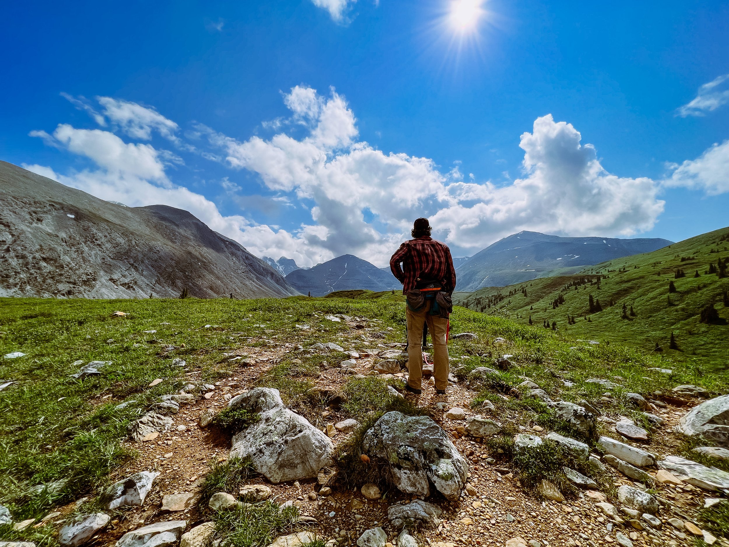
The most popular hike here is Summit Peak trail (that should really be called Mount St. Paul via Summit Peak trail, an 8.5 km round-trip with 750 meters of elevation, the summit is not the end of the trail and you could keep going on the ridge all the way to a few other peaks). The information available at the campsite and online for these hikes are pretty inaccurate and misleading (except for the link I posted above). That’s why I decided to write that post.
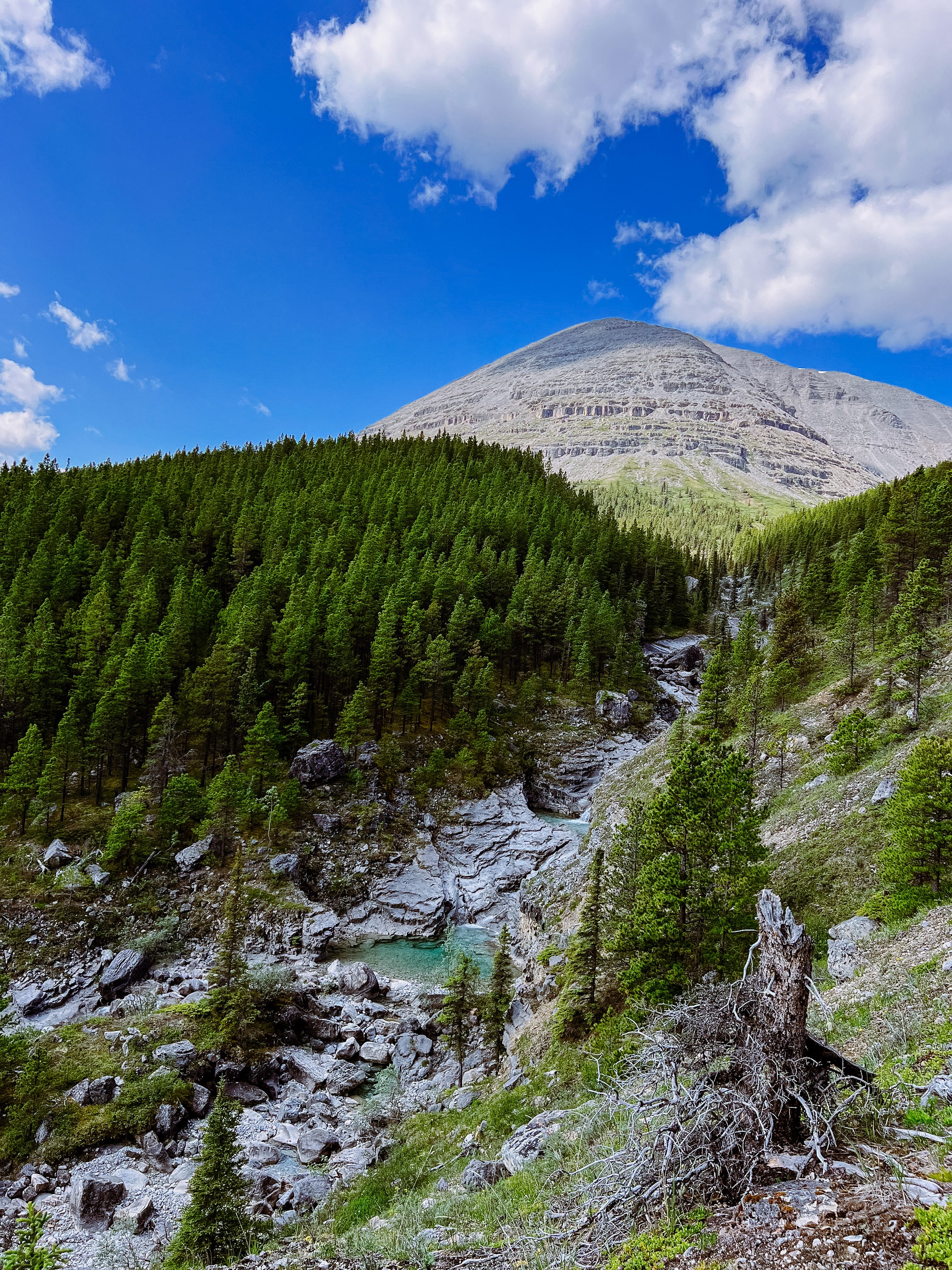
The hike starts just across the road from the campground. Make sure to follow the trail that cross the creek after about 400 meters off the road and that starts climbing up on the RIGHT side of the river.
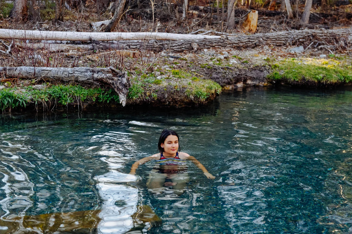
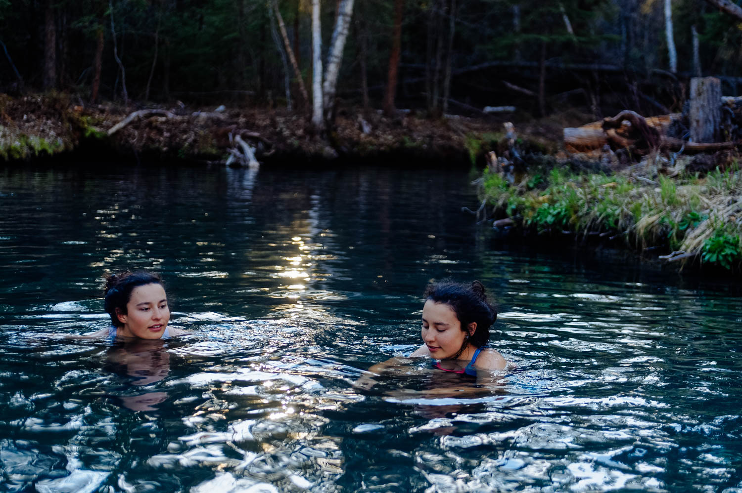
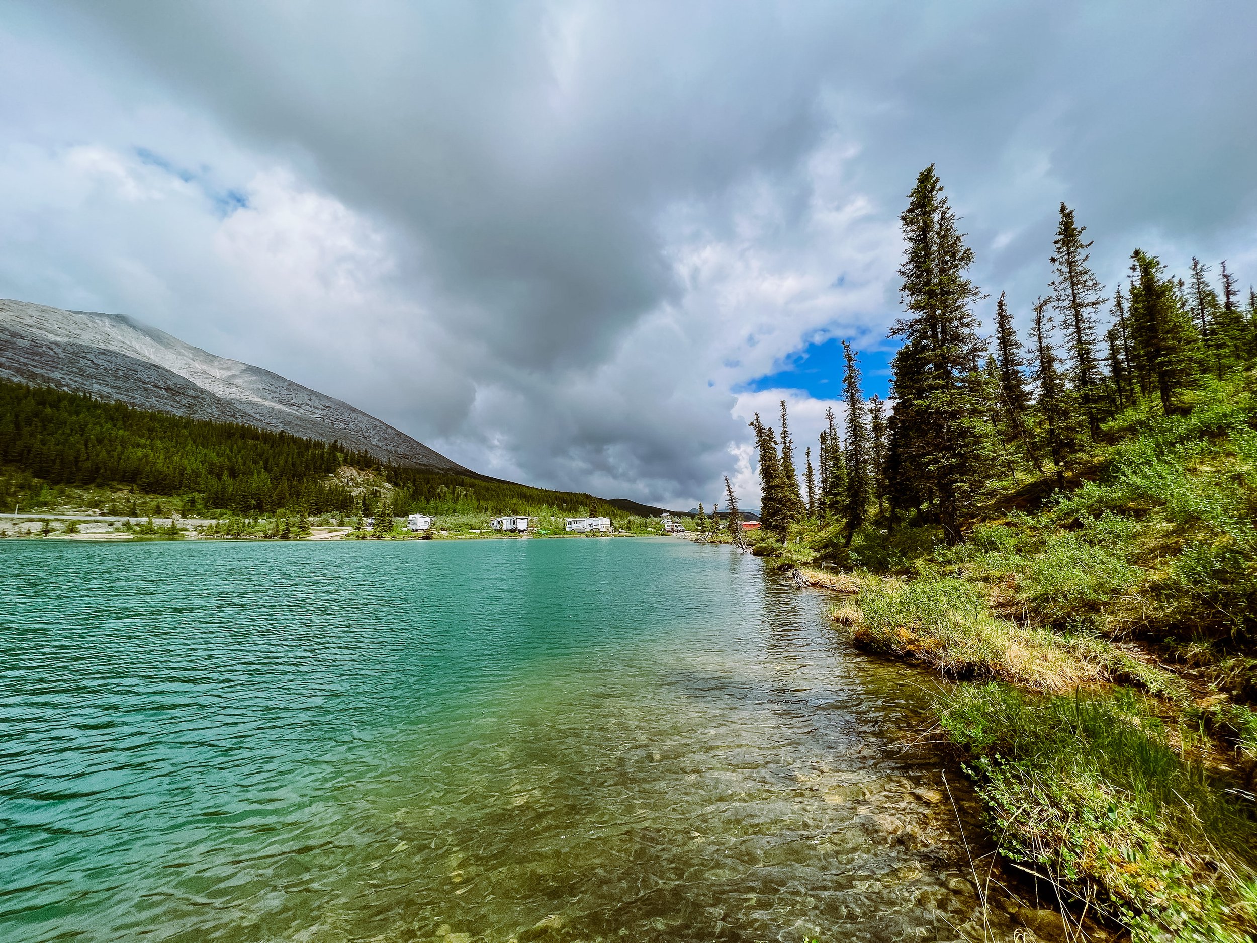
Some of the many blue pools you will see along the way, perfect for a post-hike dip!

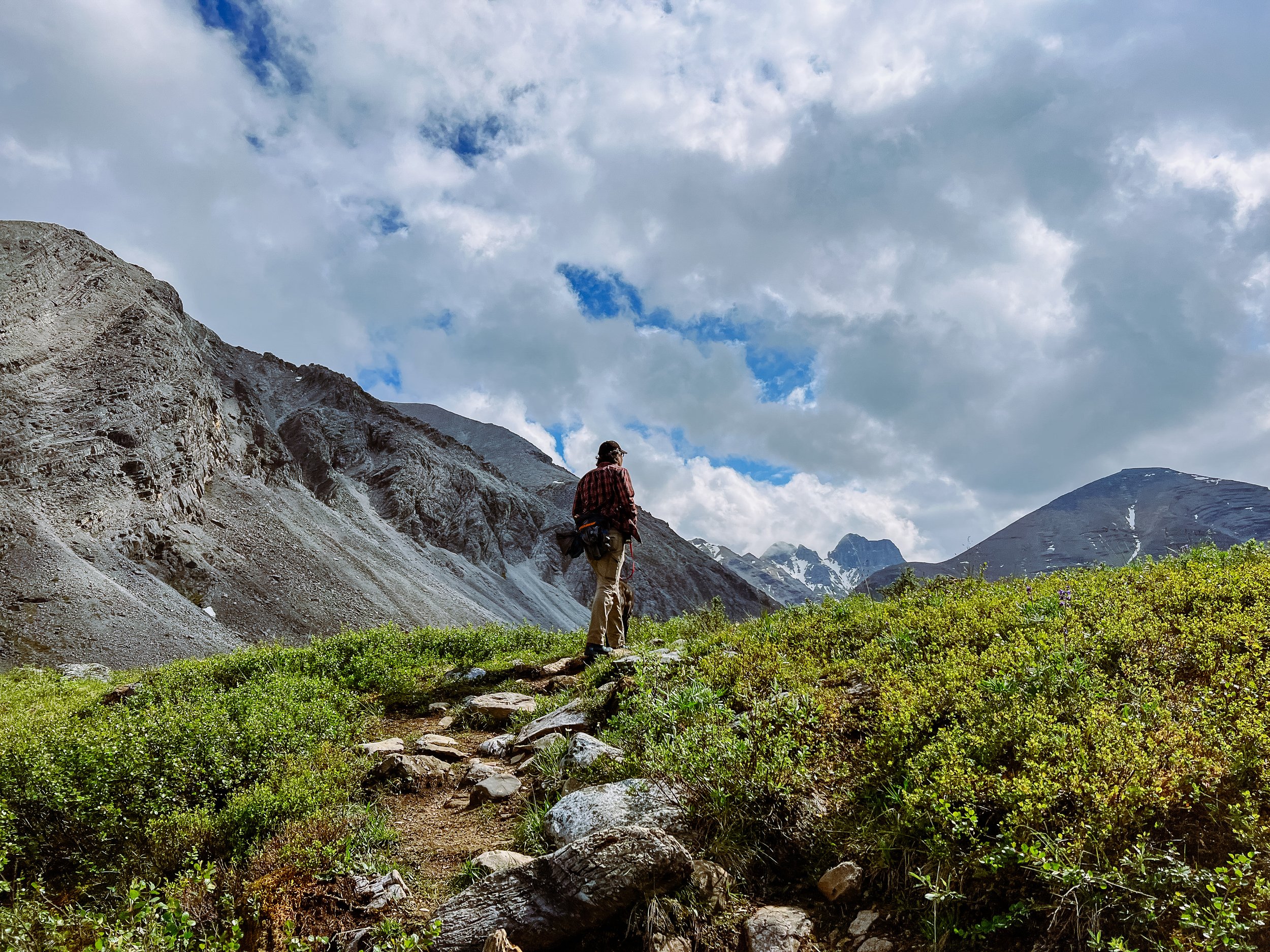
You will soon get out of the tree line and start steadily climbing up the stone-faced ridge of Mount St. Paul.

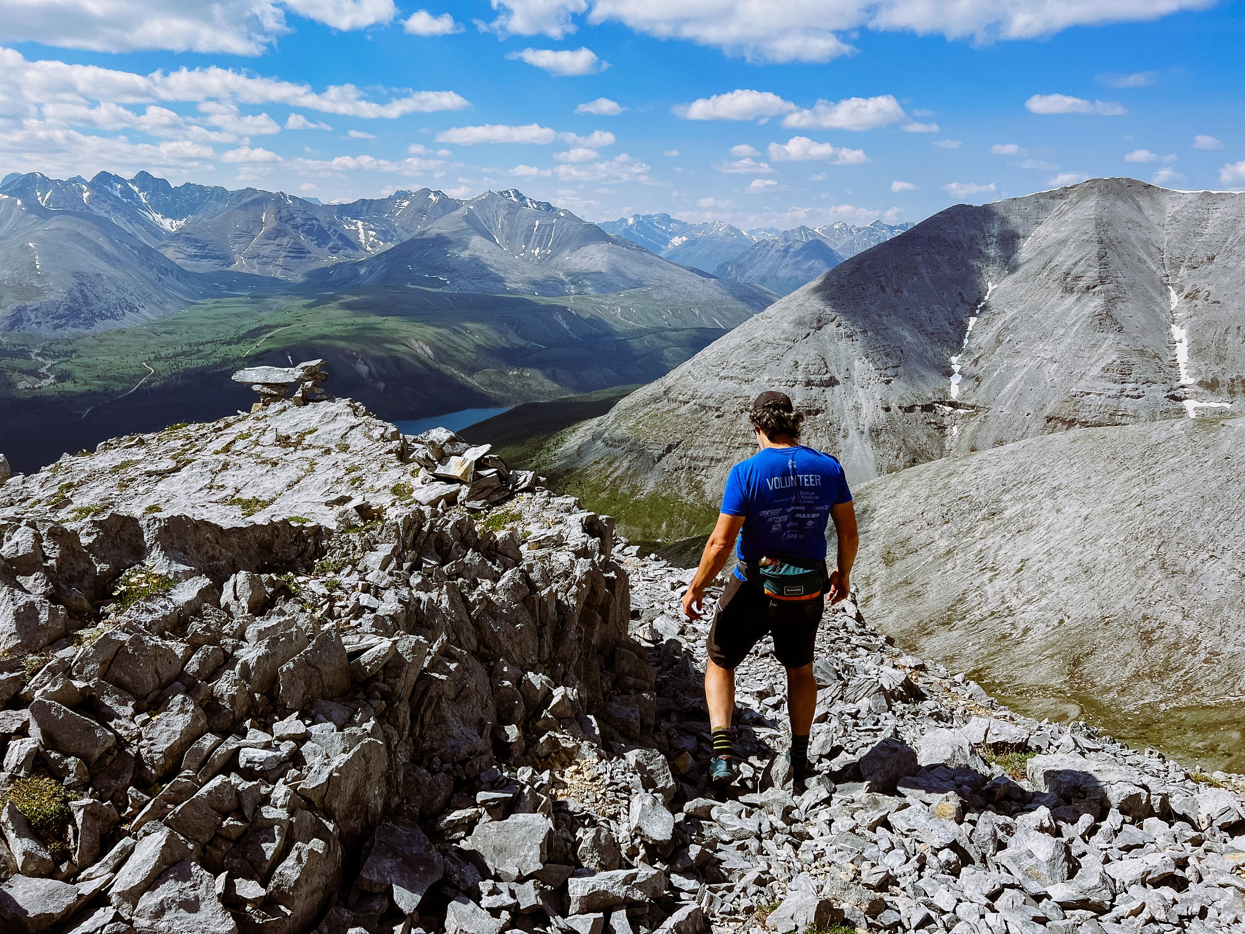
The view makes the effort well worth it! We found hiking poles to be useful, especially on the descent since there is some loose scree and a few slightly exposed sections. Hiking boots would have been preferable to hiking shoes. Also, even if we were sweating at 9 am in the first km of the hike, it got cold and very windy as soon as we got onto the ridge. Be prepared for all kind of weather conditions.

Note that the ridge is the only place where you can get decent LTE signal (and it requires a fair amount of climbing)! We had spotty 3G and 1 bar LTE at the campground WITH our booster and the antenna placed just right, but I wouldn’t count on it, most people didn’t have anything.

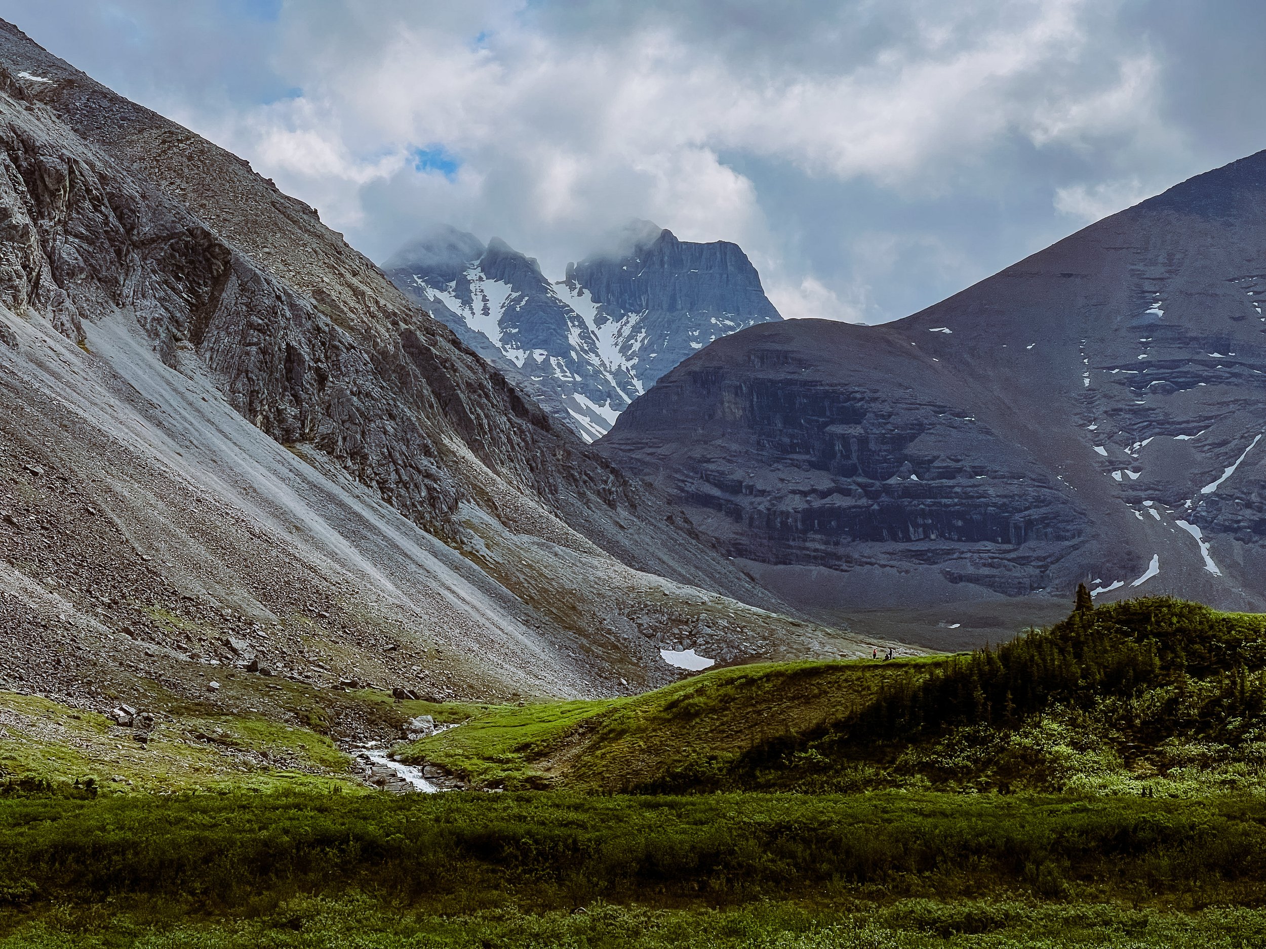
You can see the campground behing JF’s shoulder and in the background, an alpine lake (Flower Springs Lake) where we also hiked (more info on that hike below).
It is easy to forget about how intense the descent can be on the legs in that kind of terrain, so make sure to save some energy and muscle strength for that!
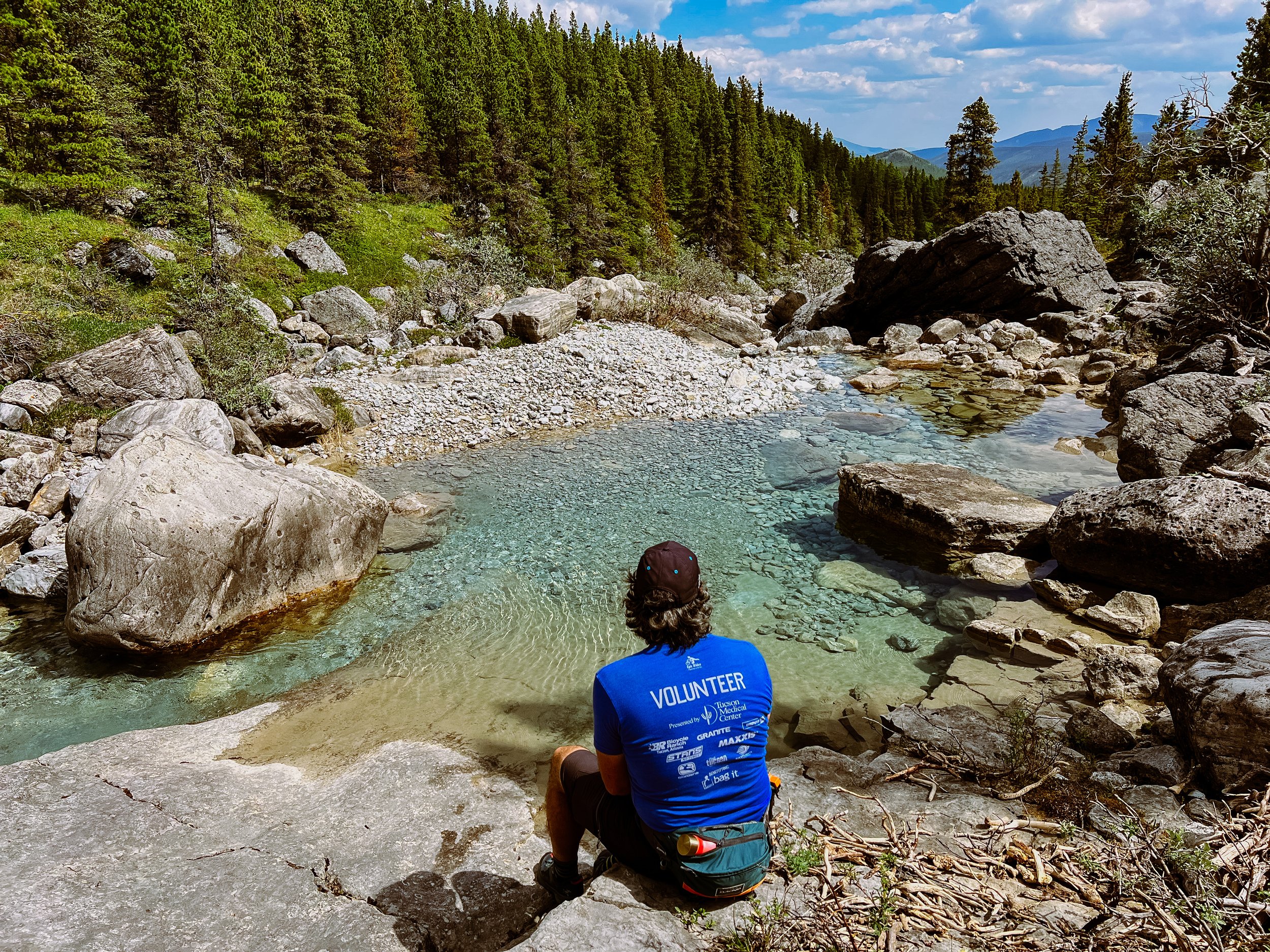
Once you reenter the tree line, there is a trail that cuts down to the beautiful blue pools you saw on your way up (they might be dry later on in the season). Make sure to go explore and take a dip if you dare! It is pure paradise. There was NOBODY there.

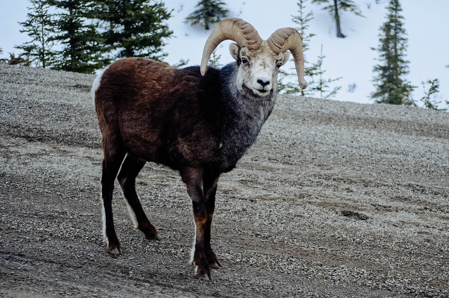
From behind site 20, there is a bridge that leads to a trail. Turn right and follow along the shore of Summit Lake. It is a bit marshy and buggy in places, but you can see lots of wildflowers along the way (this area is known for its rare flora). After about 2 km, the trail veers left up into the trees and you can follow it all the way to a 4 x 4 road that will take you to the beginning of Flower Springs Lake trail.
There is another quicker alternative that we will use next time: just before you get to the campground on the Alaska highway, you will see an entrance to the 4x4 road to a microwave tower closed by a red gate. The gate is unlocked (make sure you close it behind you). The Flower Springs trail officially starts 2 km up that road. You can either drive up 2 km (it can be driven without a 4x4 up to that point - at least when we were there), bike (and stash the bikes in a bush at the beginning of the hike - there is nobody here) or walk up it (but is it quite boring). If you decide to walk (it is quicker that our first option by the lakeshore), simply turn left after the bridge instead of right and you will quickly get to the 4x4 road. Just start walking up until you see the picnic table and trail info board.
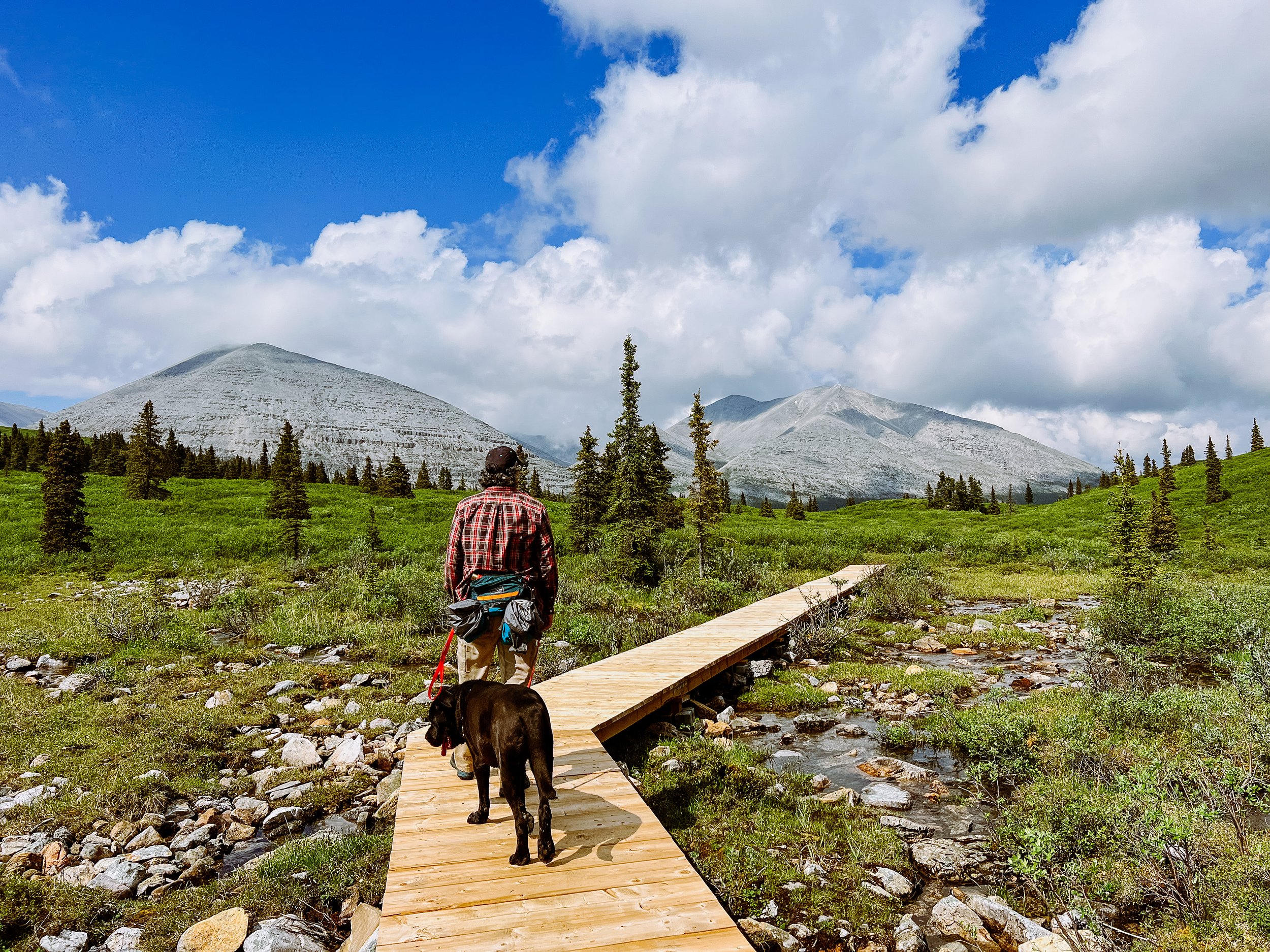
As soon as you begin walking, you cannot help but feel awed.
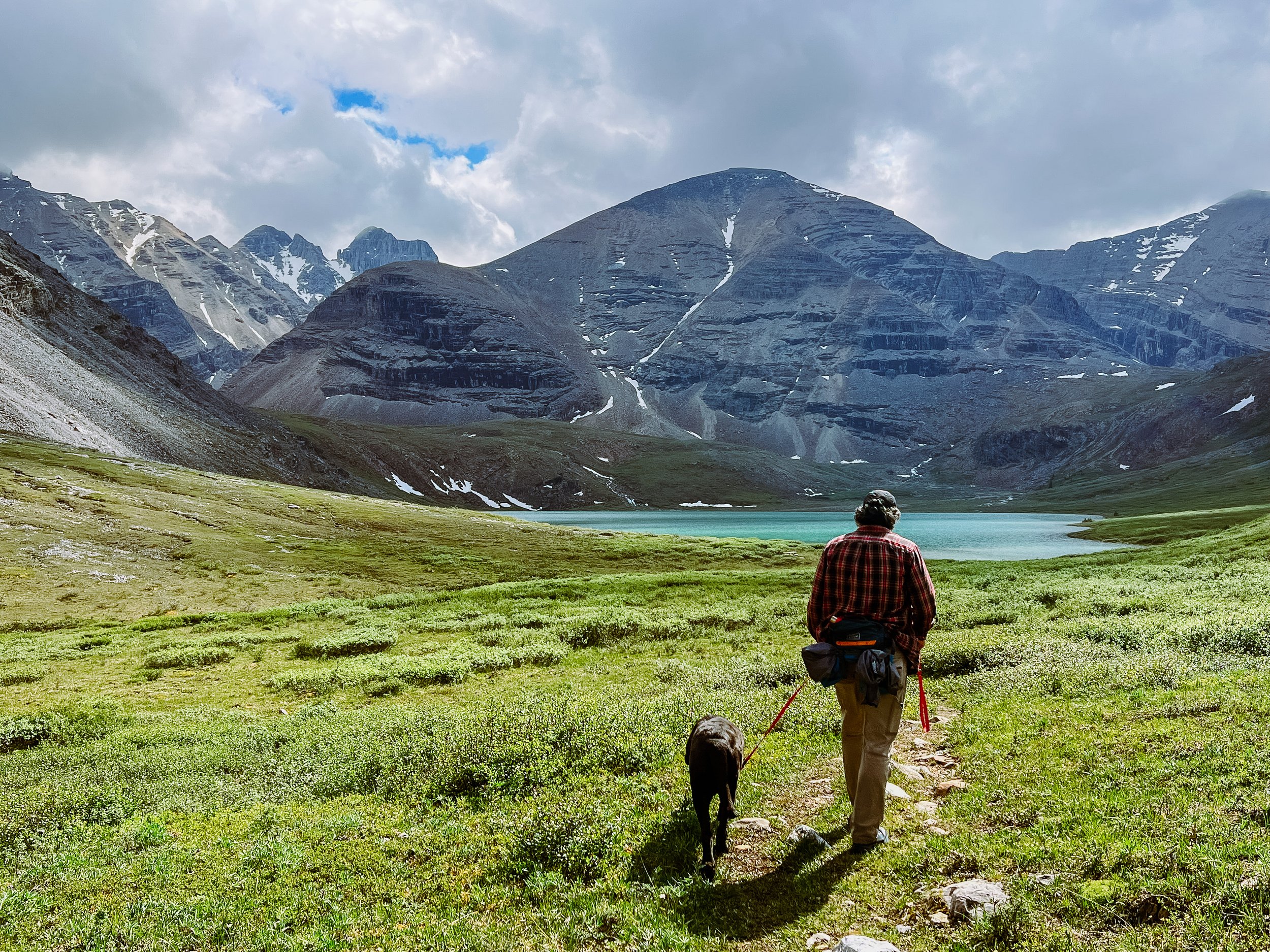
From the road, Flower Springs Lake is about 3 km (so from the campground, it is is a 10 km round-trip with the section on the 4 x 4 road), but the elevation gain is very minimal (230 m). If you do the upper Lakes, it is a 15 km hike round-trip with 430 m of elevation gain

You can keep hiking on the right side of the lake and get to two more alpine lakes, but we decided to turn around since we had already done 7 km by then and our 4 legged pup had done enough for the day. I would recommend getting a map of the area and go explore that beautiful backcountry.

There is another hike 2 km up the campground called Baba Canyon that is supposed to be really nice too. We’ll make sure to check it out next time. If you’re up for a more challenging adventure, check out this hike.