Page, Lake Powell and the Wahweap Hoodos

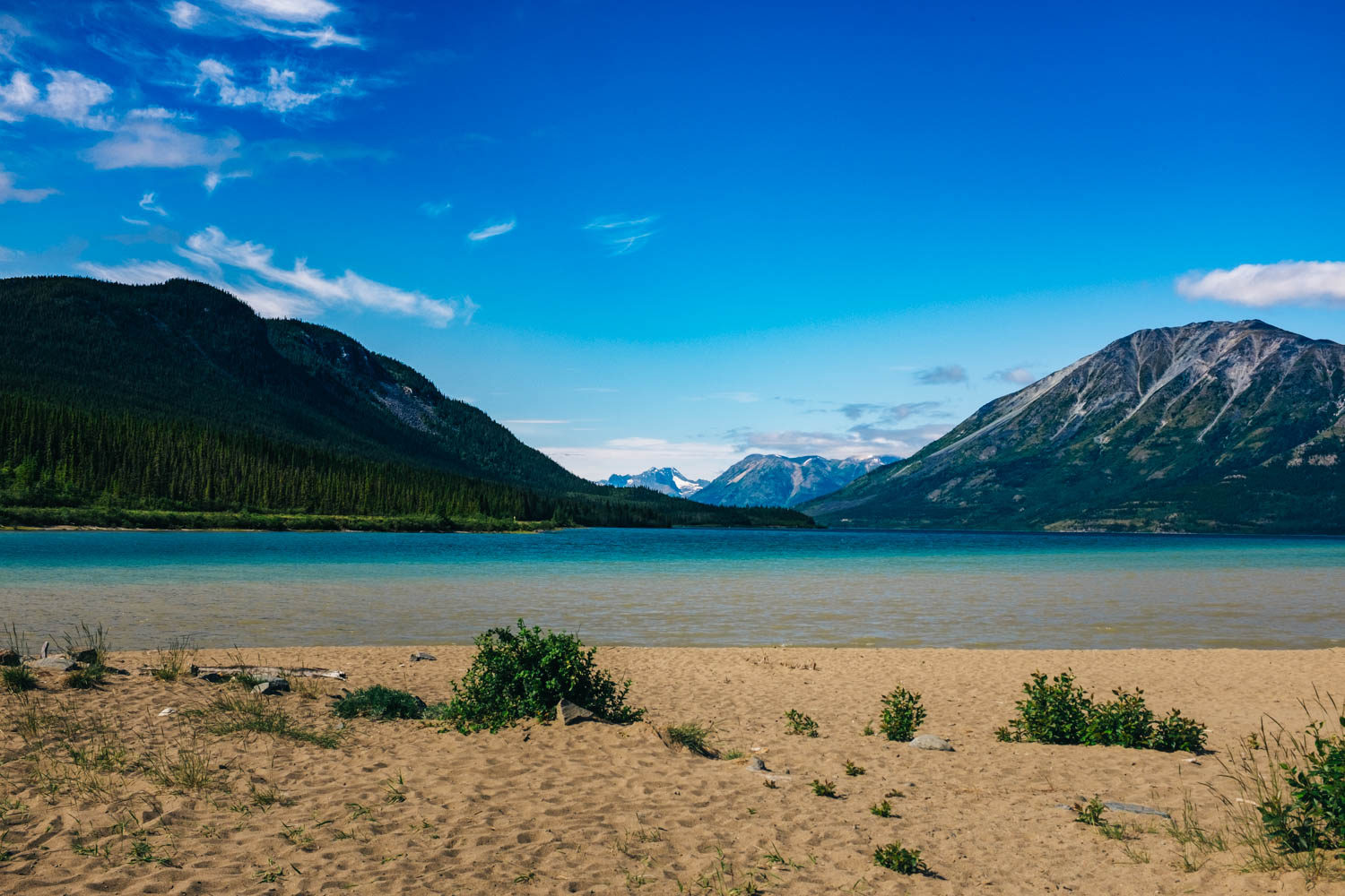
We camped two nights at Lone Rock Beach by Lake Powell. It a beautiful camping spot, but it can get pretty windy. There is a beautiful beach, but it was way to cold to swim in March. We saw lots of people kayaking on the lake and exploring a cave inside Lone Rock.
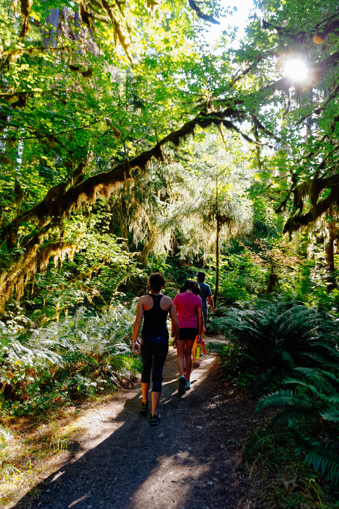
The beginning of the Wahweap Hoodoos hike.

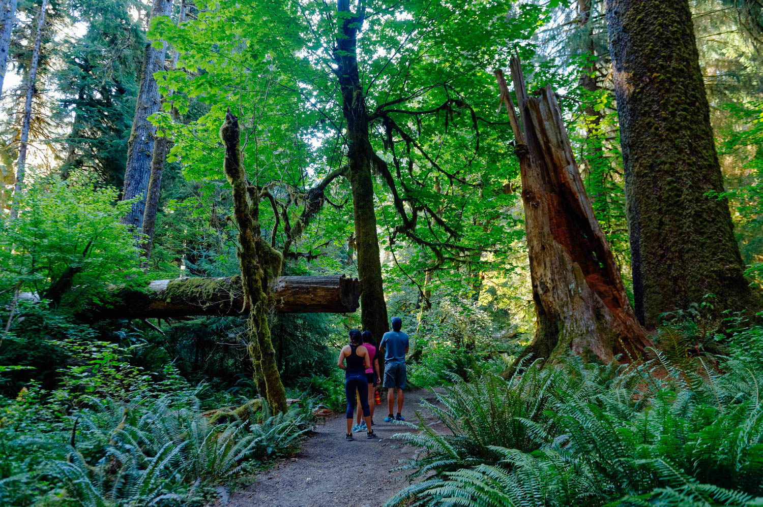
The rickety fence I mention in the directions below.

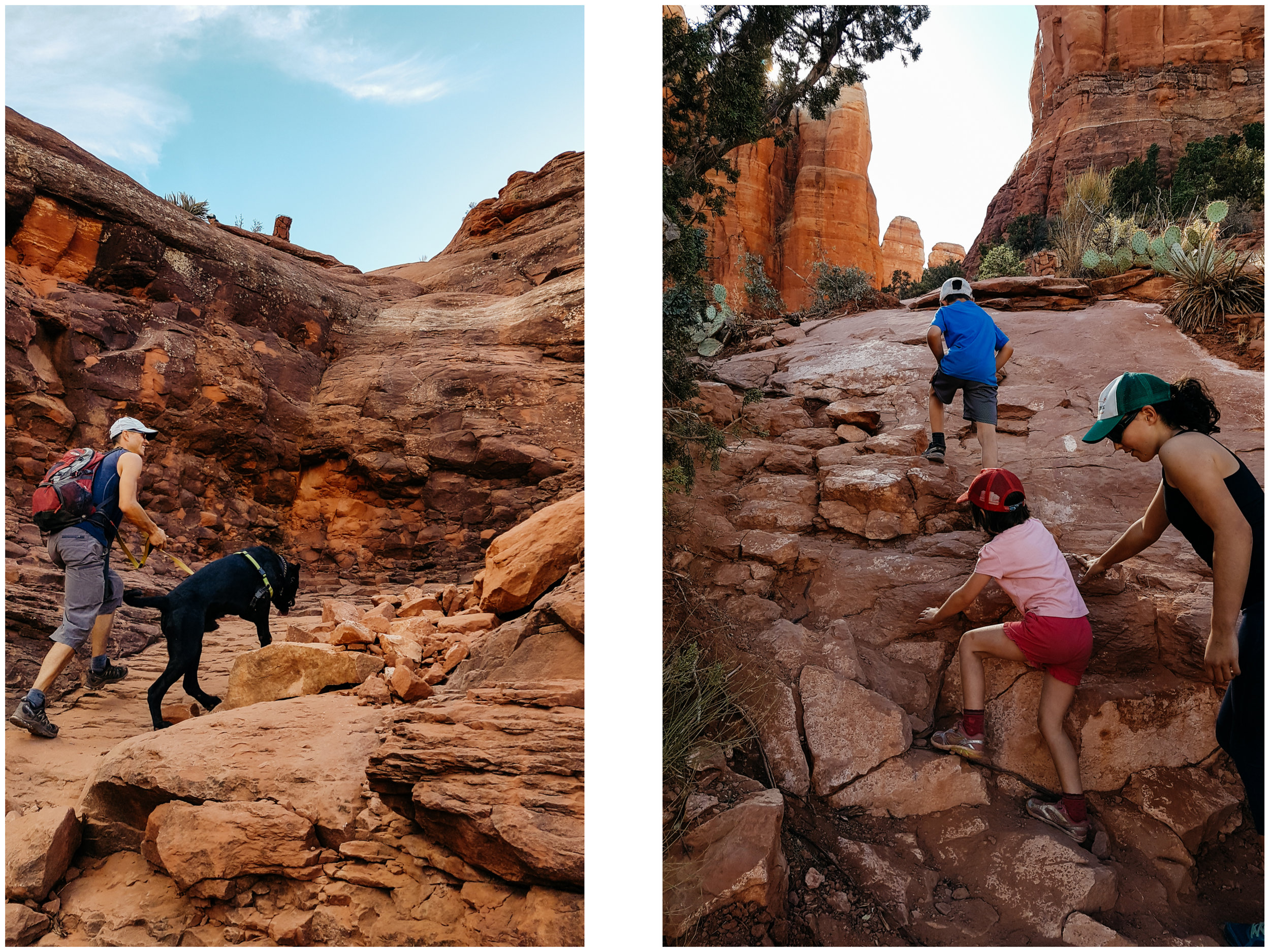
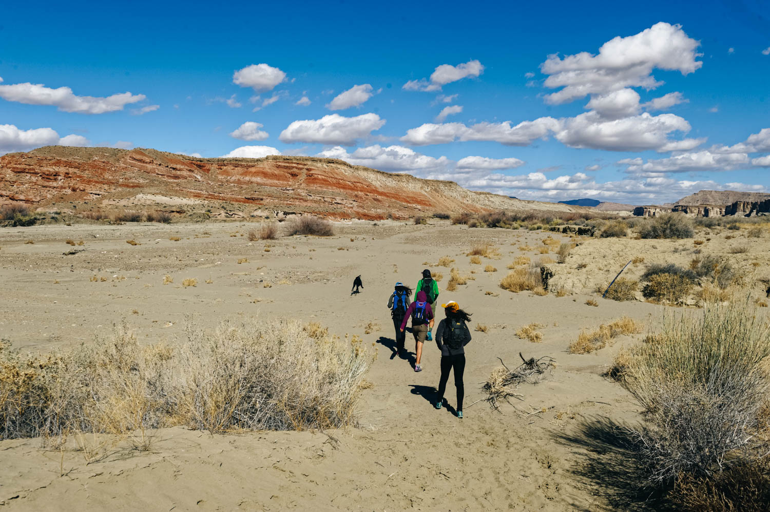
The fact that it a longish hike (14 km/8-9 miles) and that most of the hike is in a wash and has nothing exciting to offer (at least by Utah standards) makes it much less trafficked that the rest of the sights in the area. . A great plus: dogs are welcomed and can be off-leash!

Here we took a wrong animal path that led us close to the hoodoos, but we had to turn around because we could not keep going. Stick to the wash until you see the brush (description below)

Exploring the first set of hoodoos.


The Towers of Silence, the most stunning formatio. and truly a wonder of the geological world.
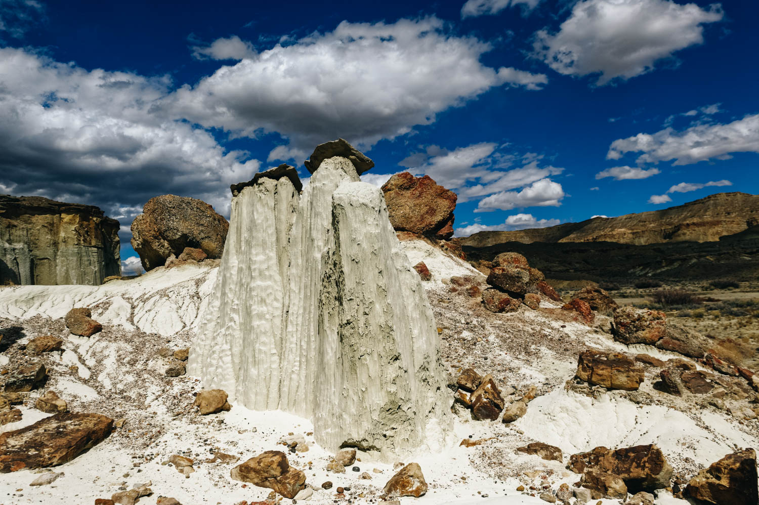
The soft entrada sandstone is pure white in color and forms hoodoos that are often topped either by dark sandstone blocks or unusual boulders of purple conglomerate, composed of small pebbles bonded together.

Left: eroded slope. Right: fluted bedrock.

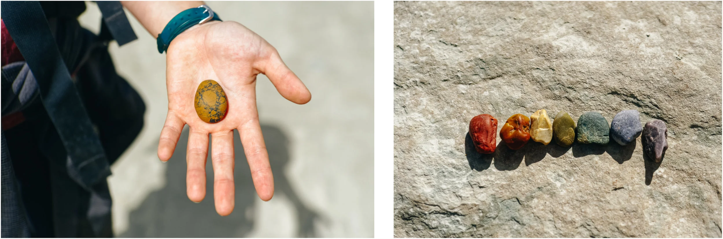
There are also tons of beautiful rocks in the wash, so that kept us busy!

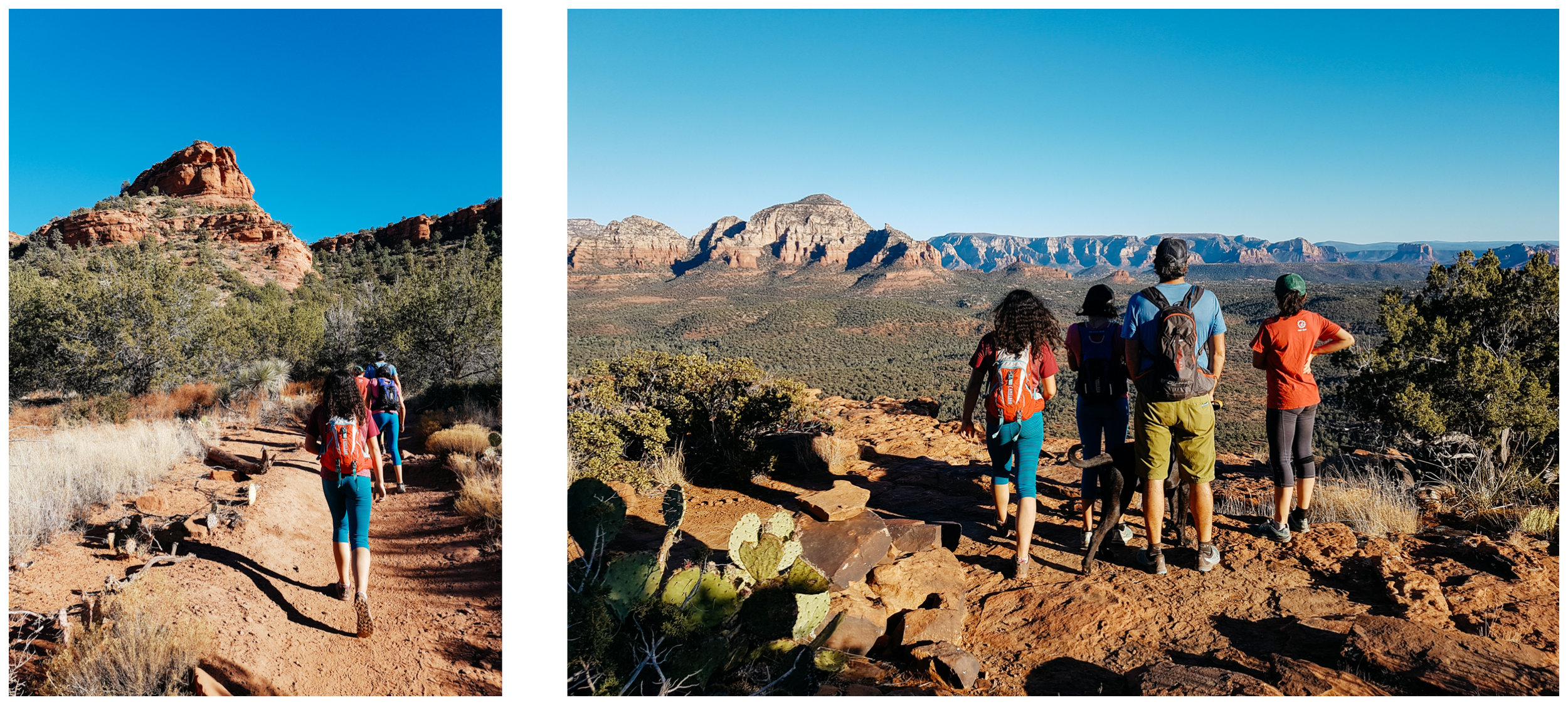
Page is not known for its mountain biking, indeed there is only one 16 km loop around town. But we had seen pictures from that trail and wanted to check it out. It's like if Sedona trails and Moab trails had a baby trail along the Colorado River. The views are jaw-dropping and the trail is fun and flowy, with some exposure to keep it exciting.


While the Antelope Canyon parking lot was packed and there was a line of people looking like ants to get to Horseshoe Bend, we only saw one guy jogging the Rimview trail with his dogs and only 5 parties on the hike to the Wahweep hoodoos ON A SATURDAY! Definitely, two of Page area best kept secrets!
There used to be two ways to reach the Wahweap Hoodoos. Now the only way is to hike 9.2-miles roundtrip from Big Water, Utah, which is located about 20 min from Page, AZ (the trailhead is marked on Google Map as Wahweap Hoodoos trailhead). It used to be possible to access them from the southern end of Cottonwood Canyon Road (located near Churchwells, Utah) for a mere 2-mile roundtrip trek, but the BLM closed it because people abused it. It says it is closed to vehicular traffic, but it might be accessible by bike, which would be a great way to shorten the approach to the hoodoos. Here is the info if you want to check it on bike (but it would be even better to check with the Big Water Visitor Center): The non-vehicular approach to the Wahweap Hoodoos is along an undesignated track, rough in places, that forks northeast 1.5 miles from the south end of Cottonwood Canyon Road, which joins US 89 between mileposts 17 and 18. This bends eastwards after a few miles, past several junctions and ends after 10.5 miles right beside Wahweap Creek, from where the hoodoos are a short walk south.
There is a 2 WD parking lot and a 4 WD parking lot 0.8 mile further after the sometimes muddy creekbed. When you arrive at the wash, look for a sign along a rickety fence that reads Wilderness Study Area. After 3 miles of hiking in Wahweap wash (a normally dry, hot and shadeless trek: be prepared with adequate water, sunscreen, and protective clothing), you see the first sets of hoodoos. Make sure to stay in the wash the whole time (sticking to hard mud patches to make your hike less strenuous) and not take the side animal trails or you will have to retrace your steps (even if they seem to lead closer to the hoodoos).
You will come to a big patch of high brush and see the hoodoos behind that. Just make your way through the brush. You have arrived to the first set of hoodoos. Make sure you keep going just around the corner to see the Towers of Silence, rising like white ghosts, which are the most stunning (look for the White Ghost on Google Map, make sure you have your phone with you to locate the formations, it was really helpful). GPS Coordinates for the Towers of Silence 37°09’45” 111°42’45”
We believe that big sections of the wash could be done on a fat bike or even on a mountain bike with wide tires, which would shorten that less interesting part. Of course, the wash structure will change according to the rain, so check before going! There are several very short slot canyon tributaries, on the east side (check topo map).